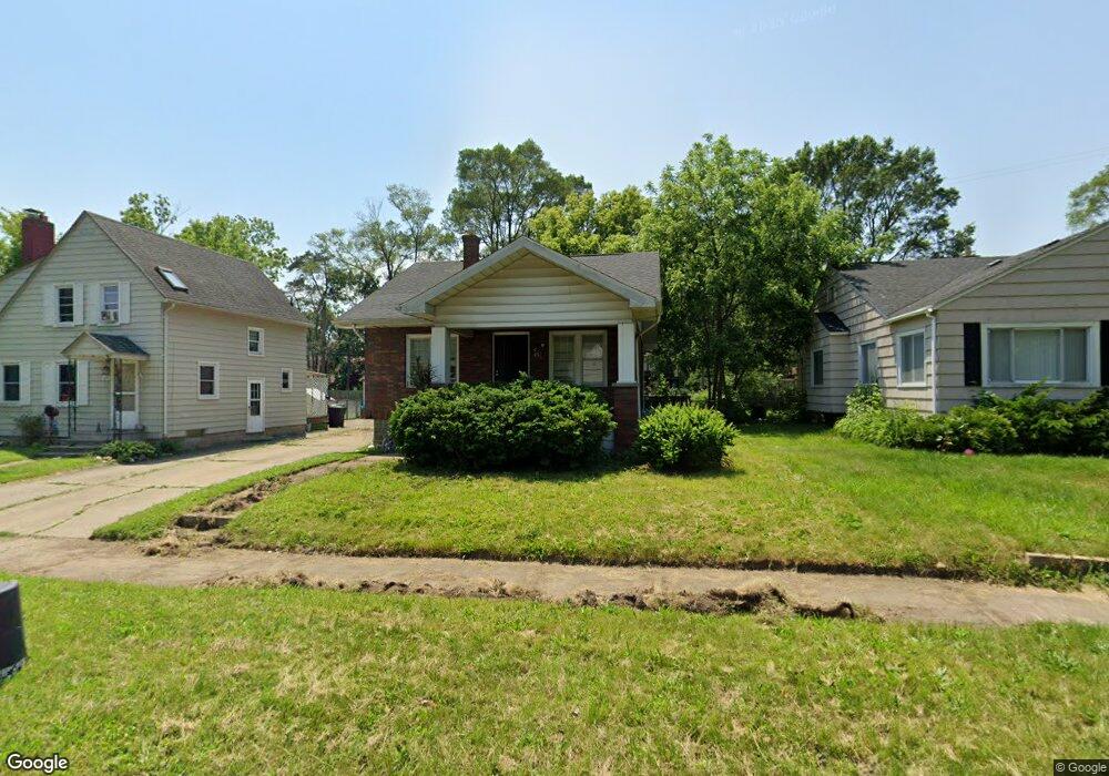
627 Frank St Flint, MI 48504
Mott Park NeighborhoodEstimated Value: $55,800 - $74,000
2
Beds
1
Bath
825
Sq Ft
$83/Sq Ft
Est. Value
About This Home
This home is located at 627 Frank St, Flint, MI 48504 and is currently estimated at $68,200, approximately $82 per square foot. 627 Frank St is a home located in Genesee County with nearby schools including Durant-Tuuri-Mott Elementary School, St John Vianney Catholic School, and St. Paul Lutheran School.
Ownership History
Date
Name
Owned For
Owner Type
Purchase Details
Closed on
Aug 27, 2018
Sold by
Lineage Associates Llc
Bought by
Mmjf Properties Llc
Current Estimated Value
Purchase Details
Closed on
Dec 2, 2015
Sold by
Mico Properties Llc
Bought by
Lineage Associates Llc
Purchase Details
Closed on
Mar 19, 2015
Sold by
Bolton Gregory K and Bolton Gregory
Bought by
Mico Properties Llc
Purchase Details
Closed on
Nov 19, 2014
Sold by
Cherry Deborah L
Bought by
Bolton Gregory K
Create a Home Valuation Report for This Property
The Home Valuation Report is an in-depth analysis detailing your home's value as well as a comparison with similar homes in the area
Home Values in the Area
Average Home Value in this Area
Purchase History
| Date | Buyer | Sale Price | Title Company |
|---|---|---|---|
| Mmjf Properties Llc | -- | Mason Burgers Title | |
| Lineage Associates Llc | -- | Attorney | |
| Mico Properties Llc | -- | None Available | |
| Bolton Gregory K | $3,500 | None Available |
Source: Public Records
Tax History
| Year | Tax Paid | Tax Assessment Tax Assessment Total Assessment is a certain percentage of the fair market value that is determined by local assessors to be the total taxable value of land and additions on the property. | Land | Improvement |
|---|---|---|---|---|
| 2025 | $1,266 | $29,500 | $0 | $0 |
| 2024 | $1,170 | $26,300 | $0 | $0 |
| 2023 | $1,141 | $22,500 | $0 | $0 |
| 2022 | $0 | $18,000 | $0 | $0 |
| 2021 | $1,158 | $17,000 | $0 | $0 |
| 2020 | $1,062 | $16,600 | $0 | $0 |
| 2019 | $1,036 | $11,900 | $0 | $0 |
| 2018 | $989 | $11,000 | $0 | $0 |
| 2017 | $986 | $0 | $0 | $0 |
| 2016 | $986 | $0 | $0 | $0 |
| 2015 | -- | $0 | $0 | $0 |
| 2014 | -- | $0 | $0 | $0 |
| 2012 | -- | $15,100 | $0 | $0 |
Source: Public Records
Map
Nearby Homes
- 825 Frank St
- 2026 Monteith St
- 751 Dupont St
- 612 Bradley Ave
- 314 Sheffield Ave
- 320 Sheffield Ave
- 2437 Zimmerman St
- 913 Perry St
- 3320 Pencombe Place
- 2023 Cadillac St
- 2663 W Court St
- 2310 Gibson St
- 2464 Gibson St
- 2410 Corunna Rd
- 1016 Dupont St
- 932 Bradley Ave
- 2124 Swayze St
- 3617 Sherwood Dr
- 2509 Corunna Rd
- 911 Hughes Ave
Your Personal Tour Guide
Ask me questions while you tour the home.