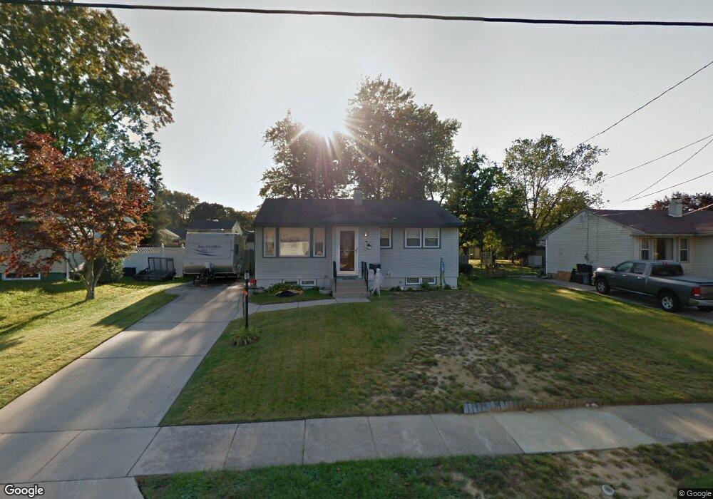
627 Franklin Rd Wenonah, NJ 08090
Deptford Township NeighborhoodEstimated Value: $208,950 - $343,000
--
Bed
--
Bath
844
Sq Ft
$338/Sq Ft
Est. Value
About This Home
This home is located at 627 Franklin Rd, Wenonah, NJ 08090 and is currently estimated at $285,238, approximately $337 per square foot. 627 Franklin Rd is a home located in Gloucester County with nearby schools including Deptford Township High School and St Margaret Regional School.
Ownership History
Date
Name
Owned For
Owner Type
Purchase Details
Closed on
Jun 20, 1994
Sold by
Pagano Stephen A and Pagano Arlene M
Bought by
Perri John H and Beck April M
Current Estimated Value
Create a Home Valuation Report for This Property
The Home Valuation Report is an in-depth analysis detailing your home's value as well as a comparison with similar homes in the area
Home Values in the Area
Average Home Value in this Area
Purchase History
| Date | Buyer | Sale Price | Title Company |
|---|---|---|---|
| Perri John H | $84,000 | Pilgrim Title Agency |
Source: Public Records
Tax History Compared to Growth
Tax History
| Year | Tax Paid | Tax Assessment Tax Assessment Total Assessment is a certain percentage of the fair market value that is determined by local assessors to be the total taxable value of land and additions on the property. | Land | Improvement |
|---|---|---|---|---|
| 2025 | $4,560 | $127,200 | $38,700 | $88,500 |
| 2024 | $4,414 | $127,200 | $38,700 | $88,500 |
| 2023 | $4,414 | $127,200 | $38,700 | $88,500 |
| 2022 | $4,382 | $127,200 | $38,700 | $88,500 |
| 2021 | $4,320 | $127,200 | $38,700 | $88,500 |
| 2020 | $4,378 | $127,200 | $38,700 | $88,500 |
| 2019 | $4,294 | $130,400 | $38,700 | $91,700 |
| 2018 | $4,198 | $130,400 | $38,700 | $91,700 |
| 2017 | $4,085 | $130,400 | $38,700 | $91,700 |
| 2016 | $4,002 | $130,400 | $38,700 | $91,700 |
| 2015 | $3,878 | $130,400 | $38,700 | $91,700 |
| 2014 | $3,778 | $130,400 | $38,700 | $91,700 |
Source: Public Records
Map
Nearby Homes
- 114 Buddy Powell Ln
- 916 Georgetown Rd
- 100 Buddy Powell Ln
- 7 Manchester Ct
- 629 Vassar Rd
- 313 Ogden Station Rd
- 315 Ogden Station Rd
- 525 Westminster Rd
- 711 Howard Ave
- 505 University Blvd
- 136 Vanderbilt Ave
- 105 Saint Regis Dr
- 213 Barclay Ct
- 477 Bucknell Ave
- 125 Ivy Ln
- 748 Dartmouth Dr
- 807 Saint Regis Ct
- 417 Auburn St
- 111 Cove Rd
- 418 Westminster Rd
- 629 Franklin Rd
- 625 Franklin Rd
- 624 Westminister Rd
- 623 Franklin Rd
- 628 Westminister Rd
- 622 Westminister Rd
- 633 Franklin Rd
- 628 Franklin Rd
- 620 Westminister Rd
- 632 Westminister Rd
- 632 Franklin Rd
- 621 Franklin Rd
- 624 Franklin Rd
- 622 Franklin Rd
- 618 Westminister Rd
- 620 Franklin Rd
- 253 Stanford Ave
- 619 Franklin Rd
- 625 Westminister Rd
- 616 Westminister Rd