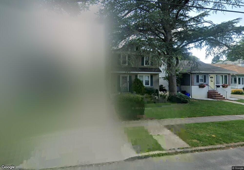
627 Lees Ave Collingswood, NJ 08108
Estimated Value: $499,000 - $588,000
--
Bed
--
Bath
1,874
Sq Ft
$291/Sq Ft
Est. Value
About This Home
This home is located at 627 Lees Ave, Collingswood, NJ 08108 and is currently estimated at $544,572, approximately $290 per square foot. 627 Lees Ave is a home located in Camden County with nearby schools including Zane North Elementary School, Collingswood Middle School, and Collingswood High School.
Ownership History
Date
Name
Owned For
Owner Type
Purchase Details
Closed on
Aug 3, 2012
Sold by
Matula Thomas S and Walker Melinda
Bought by
Matula Thomas S and Matula Melinda
Current Estimated Value
Purchase Details
Closed on
May 30, 2000
Sold by
Willis Jack R
Bought by
Matula Thomas S and Walker Melinda
Home Financials for this Owner
Home Financials are based on the most recent Mortgage that was taken out on this home.
Original Mortgage
$121,600
Interest Rate
8.14%
Create a Home Valuation Report for This Property
The Home Valuation Report is an in-depth analysis detailing your home's value as well as a comparison with similar homes in the area
Home Values in the Area
Average Home Value in this Area
Purchase History
| Date | Buyer | Sale Price | Title Company |
|---|---|---|---|
| Matula Thomas S | -- | None Available | |
| Matula Thomas S | $152,000 | -- |
Source: Public Records
Mortgage History
| Date | Status | Borrower | Loan Amount |
|---|---|---|---|
| Previous Owner | Matula Thomas S | $121,600 |
Source: Public Records
Tax History Compared to Growth
Tax History
| Year | Tax Paid | Tax Assessment Tax Assessment Total Assessment is a certain percentage of the fair market value that is determined by local assessors to be the total taxable value of land and additions on the property. | Land | Improvement |
|---|---|---|---|---|
| 2025 | $10,225 | $445,500 | $199,000 | $246,500 |
| 2024 | $10,075 | $263,600 | $74,200 | $189,400 |
| 2023 | $10,075 | $263,600 | $74,200 | $189,400 |
| 2022 | $9,824 | $263,600 | $74,200 | $189,400 |
| 2021 | $9,677 | $263,600 | $74,200 | $189,400 |
| 2020 | $9,453 | $263,600 | $74,200 | $189,400 |
| 2019 | $9,247 | $263,600 | $74,200 | $189,400 |
| 2018 | $9,157 | $263,600 | $74,200 | $189,400 |
| 2017 | $9,036 | $263,600 | $74,200 | $189,400 |
| 2016 | $8,802 | $263,600 | $74,200 | $189,400 |
| 2015 | $8,541 | $263,600 | $74,200 | $189,400 |
| 2014 | $8,303 | $263,600 | $74,200 | $189,400 |
Source: Public Records
Map
Nearby Homes
- 506 Oaklawn Ave
- 928 Linwood Ave
- 820 Stokes Ave
- 940 Linwood Ave
- 50 E Collingswood Ave
- 49 E Greenwood Ave
- 137 E Holly Ave
- 1 Lakeshore Dr
- 107 E Bettlewood Ave
- 117 E Holly Ave
- 111 E Beechwood Ave Unit 5
- 108 Dayton Ave
- 111 Cooper Ave
- 130 E Cedar Ave
- 1108 Stokes Ave
- 6 Allen Ln
- 4 E Haddon Ave
- 23 E Holly Ave
- 310 Cuthbert Blvd
- 108 Conard Ave