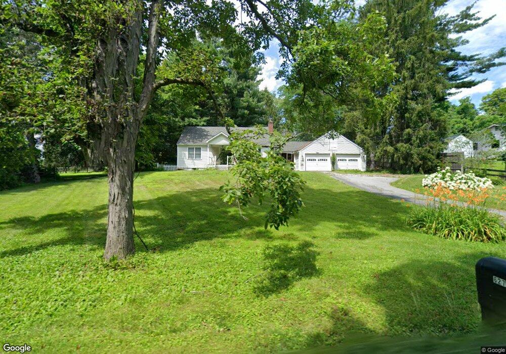
627 Shunpike Millbrook, NY 12545
Estimated Value: $462,000 - $650,000
4
Beds
1
Bath
1,296
Sq Ft
$402/Sq Ft
Est. Value
About This Home
This home is located at 627 Shunpike, Millbrook, NY 12545 and is currently estimated at $520,537, approximately $401 per square foot. 627 Shunpike is a home located in Dutchess County with nearby schools including Elm Drive Elementary School, Alden Place Elementary School, and Millbrook Middle School.
Ownership History
Date
Name
Owned For
Owner Type
Purchase Details
Closed on
Apr 15, 2011
Sold by
Woods James
Bought by
Woods James
Current Estimated Value
Purchase Details
Closed on
Jun 24, 2010
Sold by
Woods James
Bought by
Woods James
Purchase Details
Closed on
Nov 22, 2006
Sold by
Woods James
Bought by
Woods James
Purchase Details
Closed on
Feb 11, 1999
Sold by
Hurst Martha K
Bought by
Woods James P and Woods Nancy C
Create a Home Valuation Report for This Property
The Home Valuation Report is an in-depth analysis detailing your home's value as well as a comparison with similar homes in the area
Home Values in the Area
Average Home Value in this Area
Purchase History
| Date | Buyer | Sale Price | Title Company |
|---|---|---|---|
| Woods James | -- | -- | |
| Woods James | -- | -- | |
| Woods James | -- | -- | |
| Woods James P | $140,000 | -- |
Source: Public Records
Tax History
| Year | Tax Paid | Tax Assessment Tax Assessment Total Assessment is a certain percentage of the fair market value that is determined by local assessors to be the total taxable value of land and additions on the property. | Land | Improvement |
|---|---|---|---|---|
| 2024 | $11,150 | $317,100 | $36,900 | $280,200 |
| 2023 | $6,476 | $317,100 | $36,900 | $280,200 |
| 2022 | $6,590 | $317,100 | $36,900 | $280,200 |
| 2021 | $6,606 | $317,100 | $36,900 | $280,200 |
| 2020 | $2,148 | $317,100 | $36,900 | $280,200 |
| 2019 | $2,838 | $317,100 | $36,900 | $280,200 |
| 2018 | $2,004 | $317,100 | $36,900 | $280,200 |
| 2017 | $1,946 | $317,100 | $36,900 | $280,200 |
| 2016 | $1,928 | $317,100 | $36,900 | $280,200 |
| 2015 | -- | $317,100 | $36,900 | $280,200 |
| 2014 | -- | $317,100 | $36,900 | $280,200 |
Source: Public Records
Map
Nearby Homes
- 129 W Meadow Ln
- 465 Shunpike
- 508 Woodstock Rd
- 135 Sisters Hill Rd
- 121 Valley Farm Rd
- 45 Hitchcock Ln
- 309 Woodstock Rd
- 97 Valley Farm Rd
- 20 Orchard Hill Dr
- 0 New York 82
- Parcel 1 - TBD Woodstock Rd
- 521 Woodstock Rd
- 22 Hunns Lake Rd
- 6099 New York 82
- 5-15 Old Depot Way
- TBD Stanford Rd
- 121 Stanford Rd
- 0 Rocky Top Way
- 188 Nine Partners Ln
- 477 Canoe Hill Rd
Your Personal Tour Guide
Ask me questions while you tour the home.