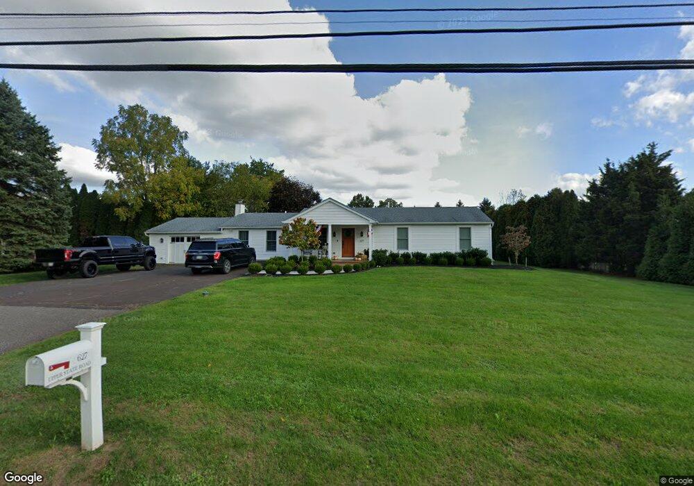
627 Upper State Rd Chalfont, PA 18914
Estimated Value: $625,647 - $676,000
3
Beds
3
Baths
2,312
Sq Ft
$283/Sq Ft
Est. Value
About This Home
This home is located at 627 Upper State Rd, Chalfont, PA 18914 and is currently estimated at $654,912, approximately $283 per square foot. 627 Upper State Rd is a home located in Bucks County with nearby schools including Mill Creek Elementary School, Unami Middle School, and Central Bucks High School - South.
Ownership History
Date
Name
Owned For
Owner Type
Purchase Details
Closed on
Feb 23, 2016
Sold by
Baran Anna Marie C Hill
Bought by
Colantonio Robert J and Colantonio Angela Marie
Current Estimated Value
Purchase Details
Closed on
Sep 22, 2004
Sold by
Hill Charles D and Hill Susan M
Bought by
Baran Anna Marie C Hill
Purchase Details
Closed on
Sep 5, 1978
Bought by
Hill Charles D and Hill Susan
Create a Home Valuation Report for This Property
The Home Valuation Report is an in-depth analysis detailing your home's value as well as a comparison with similar homes in the area
Home Values in the Area
Average Home Value in this Area
Purchase History
| Date | Buyer | Sale Price | Title Company |
|---|---|---|---|
| Colantonio Robert J | $60,000 | None Available | |
| Baran Anna Marie C Hill | -- | -- | |
| Hill Charles D | $16,000 | -- |
Source: Public Records
Tax History
| Year | Tax Paid | Tax Assessment Tax Assessment Total Assessment is a certain percentage of the fair market value that is determined by local assessors to be the total taxable value of land and additions on the property. | Land | Improvement |
|---|---|---|---|---|
| 2025 | $6,806 | $36,870 | $6,960 | $29,910 |
| 2024 | $6,806 | $36,870 | $6,960 | $29,910 |
| 2023 | $6,301 | $36,870 | $6,960 | $29,910 |
| 2022 | $6,177 | $36,870 | $6,960 | $29,910 |
| 2021 | $6,108 | $36,870 | $6,960 | $29,910 |
| 2020 | $6,108 | $36,870 | $6,960 | $29,910 |
| 2019 | $6,071 | $36,870 | $6,960 | $29,910 |
| 2018 | $5,471 | $33,600 | $6,960 | $26,640 |
| 2017 | $5,398 | $33,600 | $6,960 | $26,640 |
| 2016 | -- | $33,600 | $6,960 | $26,640 |
| 2015 | -- | $33,600 | $6,960 | $26,640 |
| 2014 | -- | $33,600 | $6,960 | $26,640 |
Source: Public Records
Map
Nearby Homes
- 0 S Limekiln Pike
- 125 Statesman Rd
- 406 Dornishwood Place
- 113 Glennbrook Ct
- 977 Hickory Ridge Dr
- 100 New Jersey Ave
- 150 Galway Cir
- 128 Krista Ct
- 401 Reagans Ln
- 428 Reagans Ln
- 431 Reagans Ln
- 458 Reagans Ln
- 411 Reagans Ln
- 437 Reagans Ln
- 407 Reagans Ln
- 456 Regans Ln
- 215 Foxhedge Rd
- 207 Foxhedge Rd
- 981 Scarlet Oak Dr
- 403 Reagans Ln
- 639 Upper State Rd
- 3789 Limekiln Pike
- 161 S Limekiln Pike
- 653 Upper State Rd
- 640 Upper State Rd
- 403 Bennett Cir
- 3783 Limekiln Pike
- 665 Upper State Rd
- 407 Bennett Cir
- 3755 Blackburn Ct
- 512 Blackburn Ct
- 113 Belmont Dr
- 111 Belmont Dr
- 685 Upper State Rd
- 3757 Blackburn Ct Unit 17
- 3757 Blackburn Ct
- 108 Nightingale Cir
- 409 Bennett Cir
- 157 S Limekiln Pike
- 109 Nightingale Cir
Your Personal Tour Guide
Ask me questions while you tour the home.