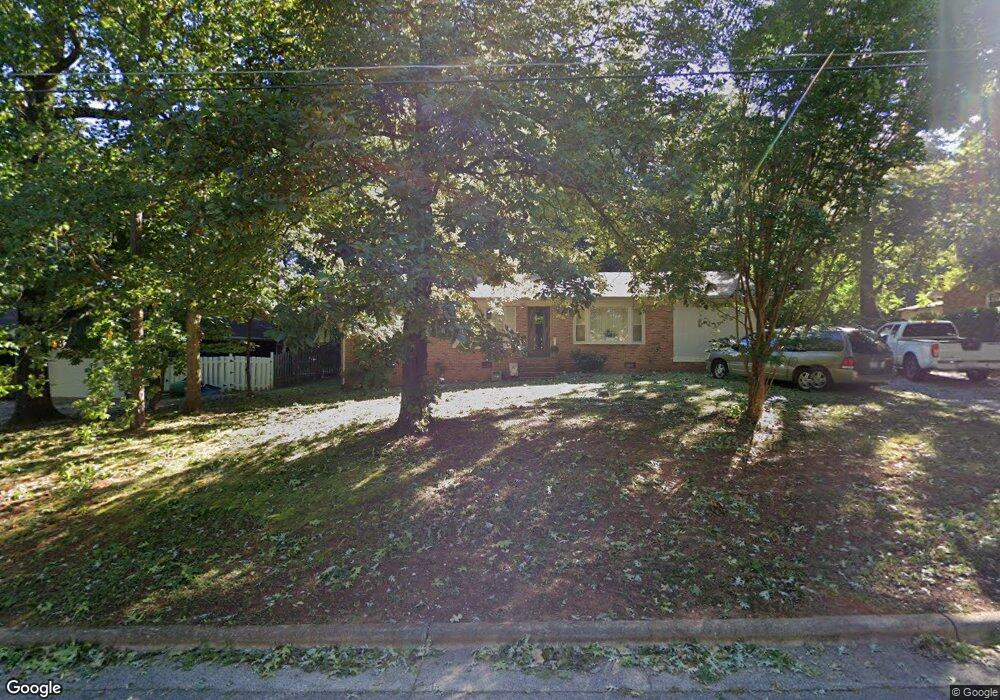
627 Vista Cir High Point, NC 27263
Greater High Point NeighborhoodEstimated Value: $172,656 - $217,000
3
Beds
1
Bath
1,306
Sq Ft
$142/Sq Ft
Est. Value
About This Home
This home is located at 627 Vista Cir, High Point, NC 27263 and is currently estimated at $185,414, approximately $141 per square foot. 627 Vista Cir is a home located in Guilford County with nearby schools including Allen Jay Elementary School, Southern Guilford Middle, and Southern Guilford High School.
Ownership History
Date
Name
Owned For
Owner Type
Purchase Details
Closed on
Jul 31, 2001
Sold by
William C Jarvis Alleghany Llc
Bought by
Maultsby Richard Todd
Current Estimated Value
Home Financials for this Owner
Home Financials are based on the most recent Mortgage that was taken out on this home.
Original Mortgage
$67,000
Outstanding Balance
$26,022
Interest Rate
7.09%
Estimated Equity
$159,392
Create a Home Valuation Report for This Property
The Home Valuation Report is an in-depth analysis detailing your home's value as well as a comparison with similar homes in the area
Home Values in the Area
Average Home Value in this Area
Purchase History
| Date | Buyer | Sale Price | Title Company |
|---|---|---|---|
| Maultsby Richard Todd | $75,000 | -- |
Source: Public Records
Mortgage History
| Date | Status | Borrower | Loan Amount |
|---|---|---|---|
| Open | Maultsby Richard Todd | $67,000 |
Source: Public Records
Tax History Compared to Growth
Tax History
| Year | Tax Paid | Tax Assessment Tax Assessment Total Assessment is a certain percentage of the fair market value that is determined by local assessors to be the total taxable value of land and additions on the property. | Land | Improvement |
|---|---|---|---|---|
| 2025 | $1,162 | $84,300 | $20,000 | $64,300 |
| 2024 | $1,162 | $84,300 | $20,000 | $64,300 |
| 2023 | $1,162 | $84,300 | $20,000 | $64,300 |
| 2022 | $1,136 | $84,300 | $20,000 | $64,300 |
| 2021 | $912 | $66,200 | $15,000 | $51,200 |
| 2020 | $912 | $66,200 | $15,000 | $51,200 |
| 2019 | $912 | $66,200 | $0 | $0 |
| 2018 | $908 | $66,200 | $0 | $0 |
| 2017 | $912 | $66,200 | $0 | $0 |
| 2016 | $1,032 | $73,600 | $0 | $0 |
| 2015 | $1,038 | $73,600 | $0 | $0 |
| 2014 | $1,055 | $73,600 | $0 | $0 |
Source: Public Records
Map
Nearby Homes
- 2719 Granville St
- 607 Martha Place
- 400 E Springfield Rd
- 304 E Springfield Rd
- 926 Norton St
- 312 Model Farm Rd
- 223 Jay Place
- 600 E Fairfield Rd
- 706 E Fairfield Rd
- 811 Nance Ave
- 914 Nance Ave
- 408 Eden Terrace
- 2708 Ernest St
- 112 Havenwood Dr
- 720 Eden Terrace
- 3511 Archdale Rd
- 102 Quakerwood Dr
- 1120 E Springfield Rd
- 708 Westbrook Ct
- 3706 Archdale Rd
- 623 Vista Cir
- 631 Vista Cir
- 619 Vista Cir
- 635 Vista Cir
- 2410 Brentwood St
- 612 Vista Cir
- 2400 Brentwood St
- 2395 Bellemeade St
- 2344 Brentwood St
- 2342 Brentwood St
- 2350 Brentwood St
- 2340 Brentwood St
- 2404 Brentwood St
- 2391 Bellemeade St
- 2338 Brentwood St
- 608 Vista Cir
- 609 Vista Cir
- 2336 Brentwood St
- 2408 Brentwood St
- 2387 Bellemeade St