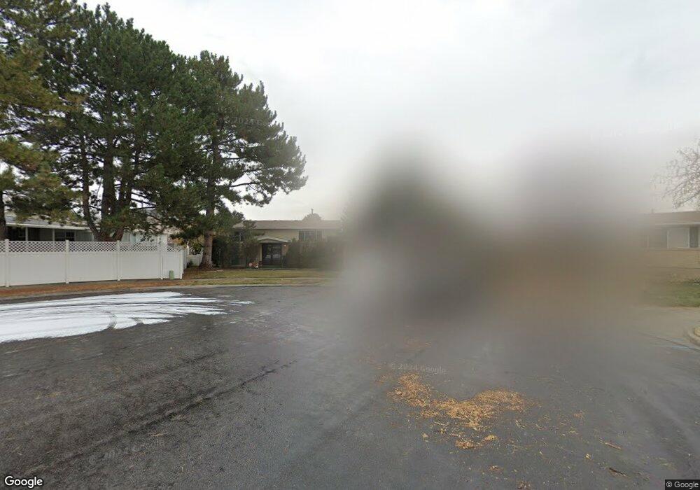
627 W 2085 N Clearfield, UT 84015
Estimated Value: $399,000 - $451,000
4
Beds
2
Baths
882
Sq Ft
$481/Sq Ft
Est. Value
About This Home
This home is located at 627 W 2085 N, Clearfield, UT 84015 and is currently estimated at $424,121, approximately $480 per square foot. 627 W 2085 N is a home located in Davis County with nearby schools including Fremont School, Sunset Junior High School, and Northridge High School.
Ownership History
Date
Name
Owned For
Owner Type
Purchase Details
Closed on
Mar 31, 2025
Sold by
James E Poindexter Family Protection Tru and Yablon Trisha A
Bought by
Klemin Reed and Logan Keely
Current Estimated Value
Home Financials for this Owner
Home Financials are based on the most recent Mortgage that was taken out on this home.
Original Mortgage
$410,850
Outstanding Balance
$408,747
Interest Rate
6.87%
Mortgage Type
New Conventional
Estimated Equity
$15,374
Purchase Details
Closed on
Jul 17, 1997
Sold by
Poindexter James E
Bought by
Poindexter James E and James E Poindexter Family Protection Tr
Create a Home Valuation Report for This Property
The Home Valuation Report is an in-depth analysis detailing your home's value as well as a comparison with similar homes in the area
Home Values in the Area
Average Home Value in this Area
Purchase History
| Date | Buyer | Sale Price | Title Company |
|---|---|---|---|
| Klemin Reed | -- | Cottonwood Title | |
| Poindexter James E | -- | -- |
Source: Public Records
Mortgage History
| Date | Status | Borrower | Loan Amount |
|---|---|---|---|
| Open | Klemin Reed | $410,850 |
Source: Public Records
Tax History Compared to Growth
Tax History
| Year | Tax Paid | Tax Assessment Tax Assessment Total Assessment is a certain percentage of the fair market value that is determined by local assessors to be the total taxable value of land and additions on the property. | Land | Improvement |
|---|---|---|---|---|
| 2025 | $2,191 | $210,650 | $98,503 | $112,147 |
| 2024 | $1,617 | $206,799 | $107,895 | $98,904 |
| 2023 | $1,470 | $192,500 | $67,883 | $124,616 |
| 2022 | $1,776 | $371,000 | $135,795 | $235,205 |
| 2021 | $1,519 | $273,000 | $94,874 | $178,126 |
| 2020 | $1,264 | $233,000 | $81,351 | $151,649 |
| 2019 | $1,216 | $221,000 | $93,705 | $127,295 |
| 2018 | $1,045 | $193,000 | $78,971 | $114,029 |
| 2016 | $839 | $85,691 | $30,905 | $54,786 |
| 2015 | $1,102 | $75,406 | $30,905 | $44,501 |
| 2014 | $731 | $75,666 | $30,905 | $44,761 |
| 2013 | -- | $74,530 | $25,230 | $49,300 |
Source: Public Records
Map
Nearby Homes
- 2177 N 450 W
- 2382 N 770 W
- 2486 N 690 W
- 2512 N 475 W
- 1696 N 475 W
- 1874 N 200 W
- 2593 N 500 W Unit 56
- 927 W 1730 N
- 389 W 2575 N
- 1623 N 400 W
- 2612 N 525 W
- 2602 N 2125 W
- 2635 N 500 W Unit 45
- 2085 N Main St Unit 409
- 2085 N Main St Unit 108
- 2085 N Main St Unit 401
- 2085 N Main St Unit 308
- 2085 N Main St Unit 116
- 2085 N Main St Unit 201
- 2085 N Main St Unit 402