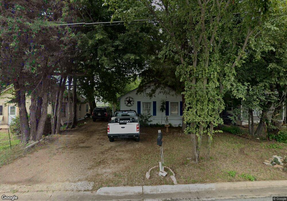
627 W Coffin St Denison, TX 75020
Estimated Value: $109,738 - $168,000
--
Bed
--
Bath
910
Sq Ft
$153/Sq Ft
Est. Value
About This Home
This home is located at 627 W Coffin St, Denison, TX 75020 and is currently estimated at $138,869, approximately $152 per square foot. 627 W Coffin St is a home located in Grayson County with nearby schools including Scott Middle School, Denison High School, and St. Luke's Parish Day School.
Ownership History
Date
Name
Owned For
Owner Type
Purchase Details
Closed on
Jul 23, 2020
Sold by
Condon Carroll M
Bought by
Botten Edwards Roddney
Current Estimated Value
Home Financials for this Owner
Home Financials are based on the most recent Mortgage that was taken out on this home.
Original Mortgage
$35,000
Interest Rate
3.1%
Mortgage Type
Seller Take Back
Create a Home Valuation Report for This Property
The Home Valuation Report is an in-depth analysis detailing your home's value as well as a comparison with similar homes in the area
Home Values in the Area
Average Home Value in this Area
Purchase History
| Date | Buyer | Sale Price | Title Company |
|---|---|---|---|
| Botten Edwards Roddney | -- | None Available |
Source: Public Records
Mortgage History
| Date | Status | Borrower | Loan Amount |
|---|---|---|---|
| Previous Owner | Botten Edwards Roddney | $35,000 |
Source: Public Records
Tax History Compared to Growth
Tax History
| Year | Tax Paid | Tax Assessment Tax Assessment Total Assessment is a certain percentage of the fair market value that is determined by local assessors to be the total taxable value of land and additions on the property. | Land | Improvement |
|---|---|---|---|---|
| 2025 | $1,584 | $76,111 | $45,695 | $30,416 |
| 2024 | $1,584 | $68,181 | $35,295 | $32,886 |
| 2023 | $1,691 | $74,641 | $41,600 | $33,041 |
| 2022 | $1,354 | $56,988 | $25,025 | $31,963 |
| 2021 | $1,043 | $41,336 | $14,105 | $27,231 |
| 2020 | $1,103 | $41,803 | $14,105 | $27,698 |
| 2019 | $1,017 | $36,969 | $8,645 | $28,324 |
| 2018 | $1,193 | $42,994 | $7,020 | $35,974 |
| 2017 | $1,054 | $37,685 | $4,745 | $32,940 |
| 2016 | $942 | $33,682 | $4,745 | $28,937 |
| 2015 | $767 | $27,150 | $4,745 | $22,405 |
| 2014 | $767 | $27,150 | $4,745 | $22,405 |
Source: Public Records
Map
Nearby Homes
- 513 W Coffin St
- 616 & 618 Rice St
- 614 Rice St
- 508 W Florence St
- 505 W Ford St
- 1927 S Fannin Ave
- 430 W Coffin St
- 614 W Collins St
- 2000 S Fannin Ave
- 1044 W Ford St
- 607 W Baker St
- 611 W Baker St
- 904 W Florence St
- 608 W Baker St
- 701 W Star St
- 930 W Florence St
- 916 W Collins St
- 923 W Collins St
- 921 W Collins St
- 919 W Collins St
- 615 W Coffin St
- 629 W Coffin St
- 631 W Coffin St
- 611 W Coffin St
- 620 W Coffin St
- 616 W Coffin St
- 628 W Florence St
- 2400 S Barrett Ave
- 628 W Coffin St
- 612 W Coffin St
- 626 W Florence St
- 622 W Florence St
- 701 W Coffin St
- 608 W Florence St
- 604-608 W Florence St
- 700 W Florence St
- 705 W Coffin St
- 600 W Coffin St
- 600 W Florence St
- 706 W Florence St