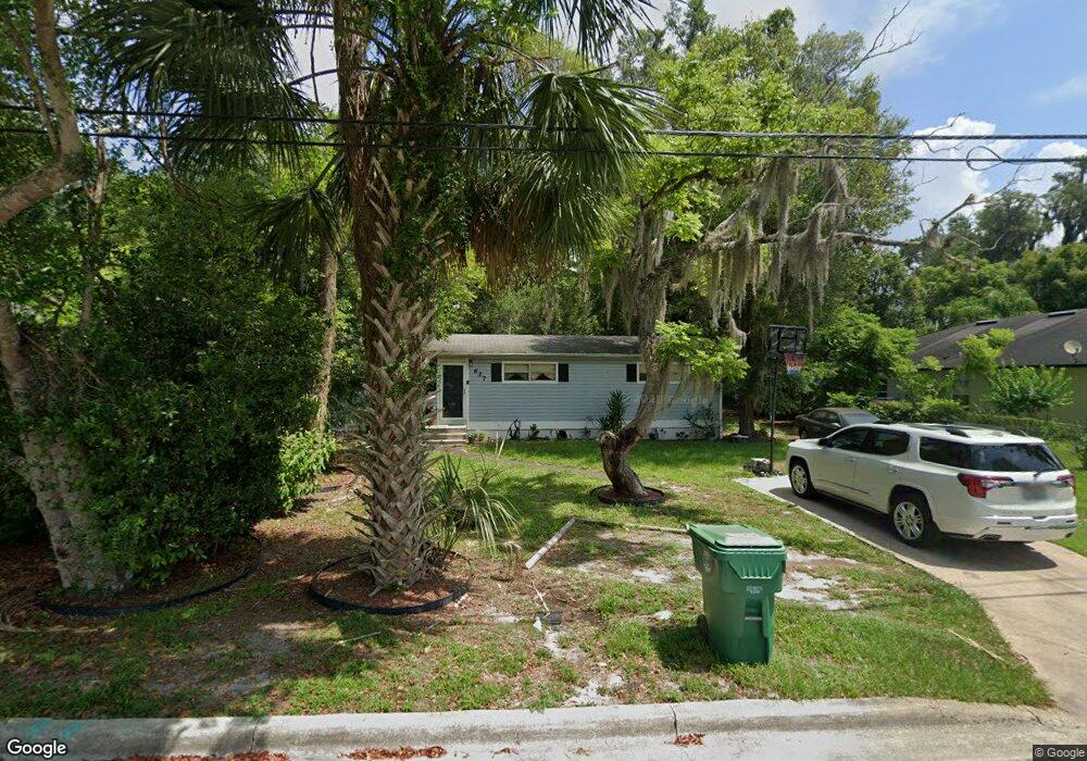
627 W Division St Deland, FL 32720
Estimated Value: $182,000 - $223,000
3
Beds
1
Bath
1,032
Sq Ft
$189/Sq Ft
Est. Value
About This Home
This home is located at 627 W Division St, Deland, FL 32720 and is currently estimated at $195,325, approximately $189 per square foot. 627 W Division St is a home located in Volusia County with nearby schools including Edith I. Starke Elementary School, Deland High School, and Southwestern Middle School.
Ownership History
Date
Name
Owned For
Owner Type
Purchase Details
Closed on
May 30, 2017
Sold by
Wilson Catherine Lane and Lane Catherine G
Bought by
Annis Primitive Baptist Church
Current Estimated Value
Purchase Details
Closed on
Aug 22, 2000
Sold by
Akins Elizabeth
Bought by
Akins Elizabeth and Lane Catherine G
Purchase Details
Closed on
Jun 15, 1970
Bought by
Lane Catherine
Create a Home Valuation Report for This Property
The Home Valuation Report is an in-depth analysis detailing your home's value as well as a comparison with similar homes in the area
Home Values in the Area
Average Home Value in this Area
Purchase History
| Date | Buyer | Sale Price | Title Company |
|---|---|---|---|
| Annis Primitive Baptist Church | $32,000 | Reliant Title Group Inc | |
| Akins Elizabeth | -- | -- | |
| Lane Catherine | $14,000 | -- |
Source: Public Records
Tax History Compared to Growth
Tax History
| Year | Tax Paid | Tax Assessment Tax Assessment Total Assessment is a certain percentage of the fair market value that is determined by local assessors to be the total taxable value of land and additions on the property. | Land | Improvement |
|---|---|---|---|---|
| 2025 | $1,765 | $136,910 | $26,600 | $110,310 |
| 2024 | $1,765 | $139,337 | $26,600 | $112,737 |
| 2023 | $1,765 | $122,227 | $15,050 | $107,177 |
| 2022 | $1,626 | $109,907 | $15,050 | $94,857 |
| 2021 | $1,520 | $88,241 | $11,900 | $76,341 |
| 2020 | $1,382 | $79,240 | $8,913 | $70,327 |
| 2019 | $1,306 | $70,662 | $7,363 | $63,299 |
| 2018 | $1,157 | $51,378 | $6,200 | $45,178 |
| 2017 | $846 | $40,802 | $5,813 | $34,989 |
| 2016 | $721 | $31,410 | $0 | $0 |
| 2015 | $796 | $33,532 | $0 | $0 |
| 2014 | $747 | $30,765 | $0 | $0 |
Source: Public Records
Map
Nearby Homes
- 632 W Hubbard Ave
- 624 W Euclid Ave
- 536 W Hubbard Ave
- 800 W Hubbard Ave
- 526 W Hubbard Ave
- 534 S Adelle Ave
- 736 S Stone St
- 817 W Euclid Ave
- 706 W Franklin Ave
- 305 S Stone St
- 816 W Franklin Ave
- 247 S Marydell Ave
- 406 S Delaware Ave
- 241 S Marydell Ave
- 647 S Delaware Ave
- 705 W Beresford Ave
- 430 S Parsons Ave
- 412 W Beresford Ave
- 134 S Julia Ave
- 709 S Parsons Ave
- 625 W Division St
- 631 W Division St
- 634 W Euclid Ave
- 635 W Division St
- 626 W Division St
- 624 W Division St
- 630 W Division St
- 616 W Euclid Ave
- 602 W Euclid Ave
- 632 W Division St
- 601 W Division St
- 635 W Hubbard Ave
- 434 S Salisbury Ave
- 637 W Hubbard Ave
- 621 W Euclid Ave
- 600 W Euclid Ave
- 621 W Hubbard Ave
- 0 S Stone St
- 435 S Stone St
- 609 W Hubbard Ave