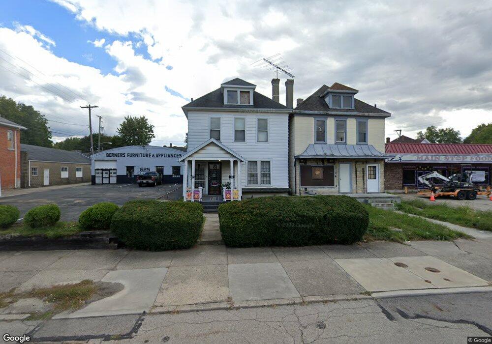
627 W Main St Unit 627 Springfield, OH 45504
Estimated Value: $64,755 - $221,000
2
Beds
3
Baths
1,778
Sq Ft
$68/Sq Ft
Est. Value
About This Home
This home is located at 627 W Main St Unit 627, Springfield, OH 45504 and is currently estimated at $120,439, approximately $67 per square foot. 627 W Main St Unit 627 is a home located in Clark County with nearby schools including Snyder Park Elementary School, Roosevelt Middle School, and Springfield High School.
Ownership History
Date
Name
Owned For
Owner Type
Purchase Details
Closed on
Dec 9, 2003
Sold by
Rice Marjorie E and Rice Robert R
Bought by
Berner Richard
Current Estimated Value
Home Financials for this Owner
Home Financials are based on the most recent Mortgage that was taken out on this home.
Original Mortgage
$15,000
Interest Rate
6.01%
Mortgage Type
Purchase Money Mortgage
Create a Home Valuation Report for This Property
The Home Valuation Report is an in-depth analysis detailing your home's value as well as a comparison with similar homes in the area
Home Values in the Area
Average Home Value in this Area
Purchase History
| Date | Buyer | Sale Price | Title Company |
|---|---|---|---|
| Berner Richard | $30,000 | -- |
Source: Public Records
Mortgage History
| Date | Status | Borrower | Loan Amount |
|---|---|---|---|
| Closed | Berner Richard | $15,000 |
Source: Public Records
Tax History
| Year | Tax Paid | Tax Assessment Tax Assessment Total Assessment is a certain percentage of the fair market value that is determined by local assessors to be the total taxable value of land and additions on the property. | Land | Improvement |
|---|---|---|---|---|
| 2025 | $274 | $21,930 | $2,000 | $19,930 |
| 2024 | $297 | $15,330 | $1,630 | $13,700 |
| 2023 | $297 | $15,330 | $1,630 | $13,700 |
| 2022 | $325 | $15,330 | $1,630 | $13,700 |
| 2021 | $196 | $12,420 | $1,430 | $10,990 |
| 2020 | $197 | $12,420 | $1,430 | $10,990 |
| 2019 | $197 | $12,420 | $1,430 | $10,990 |
| 2018 | $171 | $11,800 | $1,430 | $10,370 |
| 2017 | $170 | $11,806 | $1,432 | $10,374 |
| 2016 | $171 | $11,806 | $1,432 | $10,374 |
| 2015 | $174 | $11,806 | $1,432 | $10,374 |
| 2014 | $173 | $11,806 | $1,432 | $10,374 |
| 2013 | $171 | $11,806 | $1,432 | $10,374 |
Source: Public Records
Map
Nearby Homes
- 727 W High St
- 222 N Race St Unit 224
- 239 N Shaffer St
- 101`103 N Western
- 311 N Shaffer St
- 306 N Western Ave
- 525 S Light St
- 705-705 1/2 Grant St Unit 705
- 705 Grant St Unit 705
- 424-424 1/2 N Shaffer St
- 424 N Shaffer St
- 1205 W High St
- 430 N Jackson St
- 511 N Light St
- 423 N Jackson St Unit 425
- 1225 W High St
- 3 Mill Run Place
- 38 W High St Unit 3B
- 1207 W Pleasant St
- 1230 W Pleasant St
- 631 W Main St
- 625 W Main St
- 637 W Main St
- 5 N Vananda Ave
- 5 Vananda Ave
- 12 S Light St Unit 14
- 615 W Main St
- 0 S Pitchin Rd Unit 759071
- 0 Lower Valley Pike Unit 877120
- 0 S Pitchin Rd Unit 218017534
- 0 S Pitchin Rd Unit 856486
- 0 S Pitchin Rd Unit 1015868
- 0 S Pitchin Rd Unit 222001999
- 0 S Pitchin Rd Unit 856434
- 0 Spring Falls Ave Unit 846232
- 0 Windy Ridge Unit 320081
- 0 Lower Valley Pike Unit 1006368
- 0 S Pitchin Rd Unit 279753
- 0 Folk Ream Rd Unit 431153
- 0 Ballentine Park Unit 800329
Your Personal Tour Guide
Ask me questions while you tour the home.