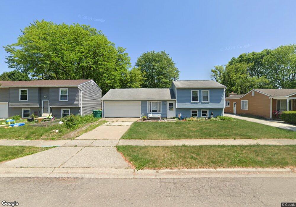
6271 S Mohawk Ave Ypsilanti, MI 48197
Estimated Value: $215,000 - $304,000
4
Beds
2
Baths
1,250
Sq Ft
$210/Sq Ft
Est. Value
About This Home
This home is located at 6271 S Mohawk Ave, Ypsilanti, MI 48197 and is currently estimated at $262,754, approximately $210 per square foot. 6271 S Mohawk Ave is a home located in Washtenaw County with nearby schools including Lincoln Senior High School, East Arbor Charter Academy, and Arbor Preparatory High School.
Ownership History
Date
Name
Owned For
Owner Type
Purchase Details
Closed on
Mar 26, 2020
Sold by
Diebolt William James and Estate Of Daniel Diebolt
Bought by
Johnson Benjamin and Johnson Shannon
Current Estimated Value
Home Financials for this Owner
Home Financials are based on the most recent Mortgage that was taken out on this home.
Original Mortgage
$156,219
Interest Rate
3.2%
Mortgage Type
FHA
Purchase Details
Closed on
Jul 14, 2006
Sold by
Grindle Michael S and Grindle Karen A
Bought by
Johnson Norman C and Johnson Theresa L
Create a Home Valuation Report for This Property
The Home Valuation Report is an in-depth analysis detailing your home's value as well as a comparison with similar homes in the area
Home Values in the Area
Average Home Value in this Area
Purchase History
| Date | Buyer | Sale Price | Title Company |
|---|---|---|---|
| Johnson Benjamin | $295,000 | None Available | |
| Johnson Norman C | $162,500 | None Available |
Source: Public Records
Mortgage History
| Date | Status | Borrower | Loan Amount |
|---|---|---|---|
| Previous Owner | Johnson Benjamin | $156,219 |
Source: Public Records
Tax History Compared to Growth
Tax History
| Year | Tax Paid | Tax Assessment Tax Assessment Total Assessment is a certain percentage of the fair market value that is determined by local assessors to be the total taxable value of land and additions on the property. | Land | Improvement |
|---|---|---|---|---|
| 2025 | -- | $109,000 | $0 | $0 |
| 2024 | $1,809 | $110,300 | $0 | $0 |
| 2023 | $1,626 | $93,400 | $0 | $0 |
| 2022 | $1,552 | $81,500 | $0 | $0 |
| 2021 | $2,571 | $79,200 | $0 | $0 |
| 2020 | $2,536 | $75,800 | $0 | $0 |
| 2019 | $1,040 | $71,400 | $71,400 | $0 |
| 2018 | $2,329 | $68,700 | $0 | $0 |
| 2017 | $2,321 | $66,800 | $0 | $0 |
| 2016 | $1,430 | $49,117 | $0 | $0 |
| 2015 | $2,188 | $48,971 | $0 | $0 |
| 2014 | $2,188 | $51,500 | $0 | $0 |
| 2013 | -- | $51,500 | $0 | $0 |
Source: Public Records
Map
Nearby Homes
- 6081 S Miami St
- 5899 S Ivanhoe Ave
- 6167 Colony Park Dr Unit 33
- 9050 Textile Rd
- 8770 Lilly Dr
- 6650 Wing St
- 9163 White Tail Ct
- 8933 Ringneck Dr
- 5934 E Island Dr Unit 32
- 6755 Shula Vista
- 9491 Lakeside Dr
- 9480 White Tail Dr
- 9563 Lakeside Dr Unit 84
- 6649 Maplelawn Dr
- 6667 Maplelawn Dr
- 9556 Nature View Ln
- 9601 Bayview Dr Unit 102
- 6027 Ravine Ct
- 9671 Harbour Cove Ct
- 8350 Thornhill Dr
- 6259 S Mohawk Ave
- 6285 S Mohawk Ave
- 6247 S Mohawk Ave
- 6270 S Miami St
- 6258 S Miami St
- 6284 S Miami St
- 6235 S Mohawk Ave
- 6246 S Miami St
- 6272 S Mohawk Ave
- 6284 S Mohawk Ave
- 6260 S Mohawk Ave
- 6234 S Miami St
- 6223 S Mohawk Ave
- 6248 S Mohawk Ave
- 6222 S Miami St
- 6236 S Mohawk Ave
- 6209 S Mohawk Ave
- 6224 S Mohawk Ave
- 6208 S Miami St
- 6269 S Miami St