Estimated Value: $247,000 - $361,000
3
Beds
3
Baths
1,926
Sq Ft
$147/Sq Ft
Est. Value
About This Home
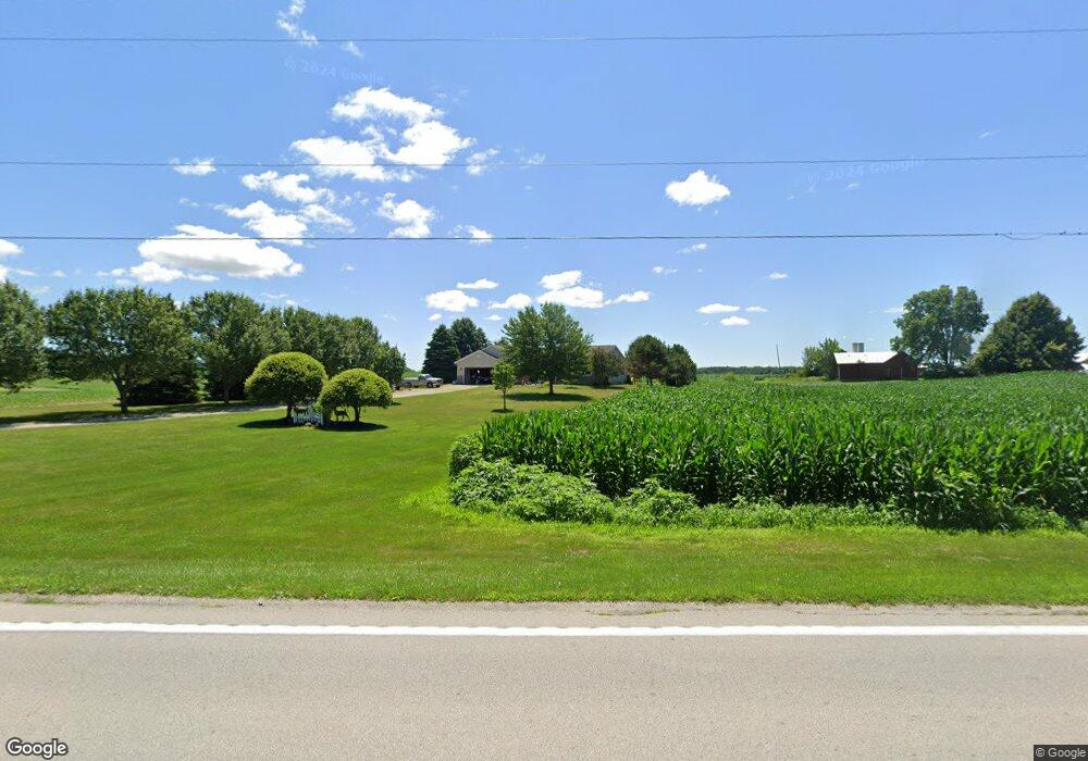
This home is located at 6271 State Route 101 E, Clyde, OH 43410 and is currently estimated at $283,691, approximately $147 per square foot. 6271 State Route 101 E is a home located in Sandusky County with nearby schools including Margaretta Elementary School and Margaretta High School.
Ownership History
Date
Name
Owned For
Owner Type
Purchase Details
Closed on
Aug 23, 2010
Sold by
Fannie Mae
Bought by
Waterfield Douglas E and Waterfield Jackie M
Current Estimated Value
Home Financials for this Owner
Home Financials are based on the most recent Mortgage that was taken out on this home.
Original Mortgage
$108,800
Outstanding Balance
$70,065
Interest Rate
4.42%
Mortgage Type
New Conventional
Estimated Equity
$213,626
Purchase Details
Closed on
Jun 21, 2010
Sold by
Fields Wendell G
Bought by
Federal National Mortgage Association
Create a Home Valuation Report for This Property
The Home Valuation Report is an in-depth analysis detailing your home's value as well as a comparison with similar homes in the area
Purchase History
| Date | Buyer | Sale Price | Title Company |
|---|---|---|---|
| Waterfield Douglas E | $136,000 | Accutitle | |
| Federal National Mortgage Association | $104,000 | None Available |
Source: Public Records
Mortgage History
| Date | Status | Borrower | Loan Amount |
|---|---|---|---|
| Open | Waterfield Douglas E | $108,800 |
Source: Public Records
Tax History
| Year | Tax Paid | Tax Assessment Tax Assessment Total Assessment is a certain percentage of the fair market value that is determined by local assessors to be the total taxable value of land and additions on the property. | Land | Improvement |
|---|---|---|---|---|
| 2025 | $2,435 | $211,700 | $25,100 | $186,600 |
| 2024 | $2,435 | $74,100 | $8,790 | $65,310 |
| 2023 | $2,493 | $58,350 | $6,930 | $51,420 |
| 2022 | $2,110 | $58,350 | $6,930 | $51,420 |
| 2021 | $2,091 | $58,350 | $6,930 | $51,420 |
| 2020 | $1,912 | $51,450 | $6,930 | $44,520 |
| 2019 | $1,916 | $51,450 | $6,930 | $44,520 |
| 2018 | $2,010 | $51,450 | $6,930 | $44,520 |
| 2017 | $1,878 | $48,550 | $6,930 | $41,620 |
| 2016 | $1,836 | $48,550 | $6,930 | $41,620 |
| 2015 | $1,814 | $48,550 | $6,930 | $41,620 |
| 2014 | $2,471 | $50,470 | $7,140 | $43,330 |
| 2013 | $2,395 | $50,470 | $7,140 | $43,330 |
Source: Public Records
Map
Nearby Homes
- 0 312 Unit 10003540
- 1420 County Road 302 Unit 14
- 5058 County Road 291
- 0 County Rd 260 Rd Unit 5061556
- 174 Centennial Dr
- 162 Centennial Dr
- 136 Centennial Dr
- 0 Auxiliary Dr
- 1727 E Mcpherson Hwy
- 1 Progress Dr
- 103 Progress Dr
- 1766 County Road 260 Elm St
- 0 Durnwald Dr
- CR 260 89.6 acres Durnwald Dr
- 4411 Ohio 269
- 1085 W Main St
- 102 Roth Ct
- VL Cold Creek Ct
- 1337 E Sr 20
- 0 W Mcpherson Hwy
- 6271 Ohio 101
- 6236 State Route 101 E
- 6234 State Route 101 E
- 6268 State Route 101 E
- 6275 State Route 101 E
- 6275 State Route 101 E
- 6195 State Route 101 E
- 103 N County Road 294
- 6191 State Route 101 E
- 6190 State Route 101 E
- 6290 State Route 101 E
- 6315 State Route 101 E
- 6330 State Route 101 E
- 110 N County Road 294
- 355 N County Road 294
- 354 N County Road 294
- 358 N County Road 294
- 116 C R 294
- 116 N County Road 294
- 116 S County Road 294
Your Personal Tour Guide
Ask me questions while you tour the home.