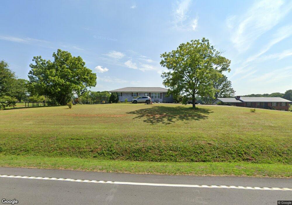
6274 Highway 174 Danielsville, GA 30633
Estimated Value: $124,912 - $446,000
--
Bed
1
Bath
1,100
Sq Ft
$250/Sq Ft
Est. Value
About This Home
This home is located at 6274 Highway 174, Danielsville, GA 30633 and is currently estimated at $274,478, approximately $249 per square foot. 6274 Highway 174 is a home located in Madison County with nearby schools including Madison County High School.
Ownership History
Date
Name
Owned For
Owner Type
Purchase Details
Closed on
Jun 4, 2010
Sold by
Tolbert Bonnie Sexton
Bought by
Tolbert Gary Scott
Current Estimated Value
Home Financials for this Owner
Home Financials are based on the most recent Mortgage that was taken out on this home.
Original Mortgage
$68,817
Interest Rate
4.97%
Mortgage Type
Purchase Money Mortgage
Purchase Details
Closed on
Aug 7, 2000
Sold by
Sexton Ethel Carey
Bought by
Tolbert Bonnie Sexto
Purchase Details
Closed on
Jan 1, 1982
Bought by
Sexton Ethel Carey
Create a Home Valuation Report for This Property
The Home Valuation Report is an in-depth analysis detailing your home's value as well as a comparison with similar homes in the area
Home Values in the Area
Average Home Value in this Area
Purchase History
| Date | Buyer | Sale Price | Title Company |
|---|---|---|---|
| Tolbert Gary Scott | -- | -- | |
| Tolbert Bonnie Sexto | -- | -- | |
| Sexton Ethel Carey | -- | -- |
Source: Public Records
Mortgage History
| Date | Status | Borrower | Loan Amount |
|---|---|---|---|
| Closed | Tolbert Gary Scott | $68,817 |
Source: Public Records
Tax History Compared to Growth
Tax History
| Year | Tax Paid | Tax Assessment Tax Assessment Total Assessment is a certain percentage of the fair market value that is determined by local assessors to be the total taxable value of land and additions on the property. | Land | Improvement |
|---|---|---|---|---|
| 2024 | $948 | $38,421 | $8,171 | $30,250 |
| 2023 | $1,065 | $34,887 | $6,809 | $28,078 |
| 2022 | $755 | $29,376 | $4,683 | $24,693 |
| 2021 | $643 | $23,069 | $4,682 | $18,387 |
| 2020 | $627 | $22,388 | $4,002 | $18,386 |
| 2019 | $621 | $21,956 | $4,002 | $17,954 |
| 2018 | $579 | $20,563 | $3,662 | $16,901 |
| 2017 | $599 | $20,805 | $3,404 | $17,401 |
| 2016 | $441 | $17,357 | $2,880 | $14,477 |
| 2015 | $441 | $17,357 | $2,880 | $14,477 |
| 2014 | $442 | $17,286 | $2,810 | $14,477 |
| 2013 | -- | $17,286 | $2,810 | $14,477 |
Source: Public Records
Map
Nearby Homes
- 955 Collins Dudley Rd
- 0 Dickson Dr Unit 416392
- 0 Dickson Dr Unit 7594620
- 0 Dickson Dr Unit 23800701
- 0 Dickson Dr Unit 10539867
- 266 Water Oak Rd
- 1112 Reno Rd
- 1344 Jim Grizzle Rd
- 0 Carey Ford Rd Unit 10495957
- 00 Georgia 174 Unit 1
- 450 Stagecoach Way
- 222 Reno Rd
- 0 Carey-Ford Rd
- 352 Jim Grizzle Rd
- 318 Jim Grizzle Rd
- 1745 Hannah Creek Church Rd
- 795 E Jones Chapel Rd
- 66 Topaz Ln
- 329 Riverbend Dr
- 1350 Baker Rd
- 6254 Highway 174
- 0 Collins Dudley Rd Unit TR 2 3203182
- 0 Collins Dudley Rd Unit TR 2 7064888
- 6336 Highway 174
- 6368 Highway 174
- 6368 Georgia 174
- 80 Collins Dudley Rd
- 6420 Highway 174
- 6040 Highway 174
- 1702 Holloway Rd
- 139 Collins Dudley Rd
- 1806 Holloway Rd
- 6490 Highway 174
- 5980 Highway 174
- 1732 Holloway Rd
- 5980 Georgia 174
- 6075 Highway 174
- 6615 Highway 174
- 255 Collins Dudley Rd
- 5950 Highway 174