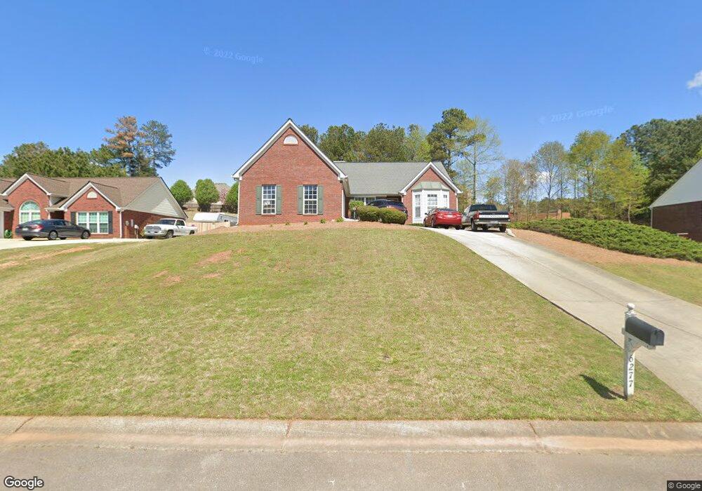
6277 Rock Port Dr Flowery Branch, GA 30542
Estimated Value: $413,000 - $444,000
3
Beds
2
Baths
1,944
Sq Ft
$219/Sq Ft
Est. Value
About This Home
This home is located at 6277 Rock Port Dr, Flowery Branch, GA 30542 and is currently estimated at $426,662, approximately $219 per square foot. 6277 Rock Port Dr is a home located in Hall County with nearby schools including Flowery Branch Elementary School, West Hall Middle School, and West Hall High School.
Ownership History
Date
Name
Owned For
Owner Type
Purchase Details
Closed on
Jul 30, 2019
Sold by
Walker Scott
Bought by
Walker Kelly J and Walker Harold Scott
Current Estimated Value
Home Financials for this Owner
Home Financials are based on the most recent Mortgage that was taken out on this home.
Original Mortgage
$170,000
Outstanding Balance
$108,636
Interest Rate
3.7%
Mortgage Type
New Conventional
Estimated Equity
$318,026
Purchase Details
Closed on
Sep 13, 1996
Sold by
Bowen Bowen Const Co Inc
Bought by
Walker Harold S Kelly J
Purchase Details
Closed on
Jun 1, 1996
Create a Home Valuation Report for This Property
The Home Valuation Report is an in-depth analysis detailing your home's value as well as a comparison with similar homes in the area
Home Values in the Area
Average Home Value in this Area
Purchase History
| Date | Buyer | Sale Price | Title Company |
|---|---|---|---|
| Walker Kelly J | $170,000 | -- | |
| Walker Harold S Kelly J | $138,300 | -- | |
| -- | $98,200 | -- |
Source: Public Records
Mortgage History
| Date | Status | Borrower | Loan Amount |
|---|---|---|---|
| Open | Walker Kelly J | $170,000 | |
| Closed | Walker Harold S Kelly J | $0 |
Source: Public Records
Tax History Compared to Growth
Tax History
| Year | Tax Paid | Tax Assessment Tax Assessment Total Assessment is a certain percentage of the fair market value that is determined by local assessors to be the total taxable value of land and additions on the property. | Land | Improvement |
|---|---|---|---|---|
| 2024 | $4,337 | $174,680 | $27,200 | $147,480 |
| 2023 | $3,060 | $138,760 | $25,120 | $113,640 |
| 2022 | $3,318 | $128,000 | $25,120 | $102,880 |
| 2021 | $2,882 | $109,040 | $16,560 | $92,480 |
| 2020 | $2,715 | $99,800 | $11,480 | $88,320 |
| 2019 | $2,586 | $94,200 | $11,480 | $82,720 |
| 2018 | $2,463 | $86,840 | $11,480 | $75,360 |
| 2017 | $2,405 | $85,680 | $11,480 | $74,200 |
| 2016 | $2,160 | $78,760 | $11,480 | $67,280 |
| 2015 | $1,604 | $57,836 | $9,200 | $48,636 |
| 2014 | $1,604 | $57,836 | $9,200 | $48,636 |
Source: Public Records
Map
Nearby Homes
- 6354 Brookridge Dr
- 6228 Rock Port Dr
- 6241 Brookridge Dr
- 6284 Brookridge Dr
- 6201 Southport Dr
- 6306 Water Haven Way
- 6103 Portsmouth Dr
- 6225 S Port Dr
- 6121 Stillwater Trail
- 6104 Saddlehorse Dr
- 5904 Clipper Bay
- 6237 Stillwater Place
- 5388 Frazer Rd
- 6307 Bluegrass Ln
- 6262 Laurel Wood Trail
- 5220 Wild Cedar Dr
- 6273 Rock Port Dr
- 6281 Rock Port Dr
- 6338 Brookridge Dr Unit LOT 33A
- 6334 Brookridge Dr
- 6334 Brookridge Dr Unit LOT 32A
- 6346 Wynfield Dr
- 6269 Rock Port Dr
- 6285 Rock Port Dr
- 6342 Brookridge Dr
- 6330 Brookridge Dr
- 6276 Rock Port Dr
- 6346 Brookridge Dr
- 6326 Brookridge Dr
- 6280 Rock Port Dr
- 6272 Rock Port Dr
- 6338 Brookridge Dr Unit LOT 33A
- 6289 Rock Port Dr
- 6265 Rock Port Dr
- 6284 Rock Port Dr
- 6322 Brookridge Dr