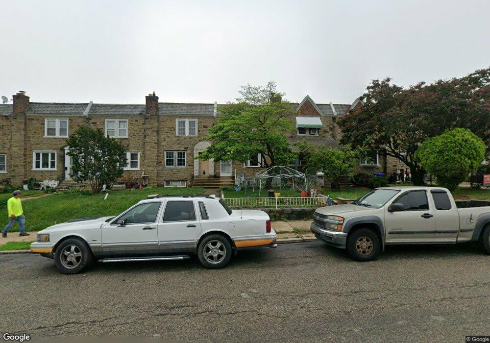
6279 Large St Philadelphia, PA 19149
Castor Gardens NeighborhoodEstimated Value: $200,000 - $230,000
3
Beds
1
Bath
1,222
Sq Ft
$177/Sq Ft
Est. Value
About This Home
This home is located at 6279 Large St, Philadelphia, PA 19149 and is currently estimated at $216,294, approximately $177 per square foot. 6279 Large St is a home located in Philadelphia County with nearby schools including Gilbert Spruance School, Northeast High School, and The Philadelphia Charter School for the Arts & Sciences.
Ownership History
Date
Name
Owned For
Owner Type
Purchase Details
Closed on
Aug 27, 2002
Sold by
Rosso Marie and Milhous Annamaria
Bought by
Nguyen Ngoc D
Current Estimated Value
Home Financials for this Owner
Home Financials are based on the most recent Mortgage that was taken out on this home.
Original Mortgage
$47,600
Outstanding Balance
$19,519
Interest Rate
6.25%
Mortgage Type
Stand Alone First
Estimated Equity
$196,775
Create a Home Valuation Report for This Property
The Home Valuation Report is an in-depth analysis detailing your home's value as well as a comparison with similar homes in the area
Home Values in the Area
Average Home Value in this Area
Purchase History
| Date | Buyer | Sale Price | Title Company |
|---|---|---|---|
| Nguyen Ngoc D | $68,000 | First American Title Ins Co |
Source: Public Records
Mortgage History
| Date | Status | Borrower | Loan Amount |
|---|---|---|---|
| Open | Nguyen Ngoc D | $47,600 |
Source: Public Records
Tax History Compared to Growth
Tax History
| Year | Tax Paid | Tax Assessment Tax Assessment Total Assessment is a certain percentage of the fair market value that is determined by local assessors to be the total taxable value of land and additions on the property. | Land | Improvement |
|---|---|---|---|---|
| 2026 | $2,480 | $217,100 | $43,420 | $173,680 |
| 2025 | $2,480 | $217,100 | $43,420 | $173,680 |
| 2024 | $2,480 | $217,100 | $43,420 | $173,680 |
| 2023 | $2,480 | $177,200 | $35,440 | $141,760 |
| 2022 | $1,141 | $132,200 | $35,440 | $96,760 |
| 2021 | $1,771 | $0 | $0 | $0 |
| 2020 | $1,771 | $0 | $0 | $0 |
| 2019 | $1,699 | $0 | $0 | $0 |
| 2018 | $1,694 | $0 | $0 | $0 |
| 2017 | $1,694 | $0 | $0 | $0 |
| 2016 | $1,274 | $0 | $0 | $0 |
| 2015 | $1,621 | $0 | $0 | $0 |
| 2014 | -- | $121,000 | $28,643 | $92,357 |
| 2012 | -- | $15,136 | $2,366 | $12,770 |
Source: Public Records
Map
Nearby Homes
- 1531 Stevens St
- 2001R Mckinley St
- 1453 Mckinley St
- 1551 Lardner St
- 1548 Lardner St
- 1440 Robbins Ave
- 1507 Benner St
- 1414 Mckinley St
- 1427 Robbins Ave
- 1417 Stevens St
- 6135 Castor Ave
- 6239 Castor Ave
- 1439 Higbee St
- 6111 Castor Ave
- 1438 Higbee St
- 1428 Higbee St
- 1606 Benner St
- 6005 Horrocks St
- 7040 E Roosevelt Blvd
- 7536 E Roosevelt Blvd