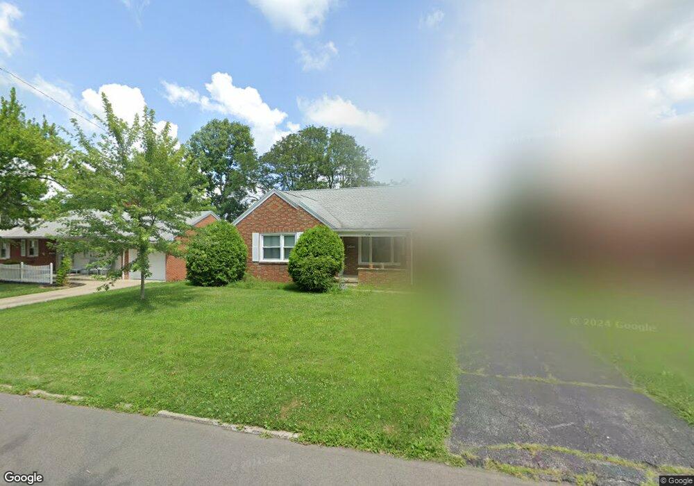
628 Barnard Ave Mansfield, OH 44903
Estimated Value: $120,000 - $136,000
2
Beds
1
Bath
1,022
Sq Ft
$124/Sq Ft
Est. Value
About This Home
This home is located at 628 Barnard Ave, Mansfield, OH 44903 and is currently estimated at $127,191, approximately $124 per square foot. 628 Barnard Ave is a home located in Richland County with nearby schools including Discovery School and St. Peter's Junior High / High School.
Ownership History
Date
Name
Owned For
Owner Type
Purchase Details
Closed on
Apr 15, 2024
Sold by
Meckes Michele E
Bought by
Madden Donna J
Current Estimated Value
Home Financials for this Owner
Home Financials are based on the most recent Mortgage that was taken out on this home.
Original Mortgage
$78,000
Outstanding Balance
$76,859
Interest Rate
6.99%
Mortgage Type
New Conventional
Estimated Equity
$50,332
Purchase Details
Closed on
Aug 24, 2017
Sold by
Miller Carol J
Bought by
Meckes Michele E
Purchase Details
Closed on
Mar 1, 1987
Create a Home Valuation Report for This Property
The Home Valuation Report is an in-depth analysis detailing your home's value as well as a comparison with similar homes in the area
Home Values in the Area
Average Home Value in this Area
Purchase History
| Date | Buyer | Sale Price | Title Company |
|---|---|---|---|
| Madden Donna J | $95,000 | Chicago Title | |
| Meckes Michele E | -- | Attorney | |
| -- | $41,500 | -- |
Source: Public Records
Mortgage History
| Date | Status | Borrower | Loan Amount |
|---|---|---|---|
| Open | Madden Donna J | $78,000 |
Source: Public Records
Tax History
| Year | Tax Paid | Tax Assessment Tax Assessment Total Assessment is a certain percentage of the fair market value that is determined by local assessors to be the total taxable value of land and additions on the property. | Land | Improvement |
|---|---|---|---|---|
| 2024 | $1,442 | $31,510 | $4,540 | $26,970 |
| 2023 | $1,475 | $31,510 | $4,540 | $26,970 |
| 2022 | $1,262 | $22,580 | $3,900 | $18,680 |
| 2021 | $1,270 | $22,580 | $3,900 | $18,680 |
| 2020 | $1,299 | $22,580 | $3,900 | $18,680 |
| 2019 | $1,440 | $22,580 | $3,900 | $18,680 |
| 2018 | $870 | $22,580 | $3,900 | $18,680 |
| 2017 | $823 | $22,580 | $3,900 | $18,680 |
| 2016 | $800 | $21,420 | $5,000 | $16,420 |
| 2015 | $800 | $21,420 | $5,000 | $16,420 |
| 2014 | $754 | $21,420 | $5,000 | $16,420 |
| 2012 | $268 | $21,420 | $5,260 | $16,160 |
Source: Public Records
Map
Nearby Homes
- 679 Coleman Rd
- 686 Barnard Ave
- 616 Cline Ave
- 455 Marion Ave
- 189 Westwood Ave
- 133 Stewart Ave S
- 143 Fairlawn Ave
- 116 Stewart Ave S
- 108 Stewart Ave S
- 126 Dawson Ave
- 135 Fairlawn Ave
- 535 Woodhill Rd
- 129 Fairlawn Ave
- 356 S Linden Rd
- 71 Dawson Ave
- 31 Parkwood Blvd
- 158 Vennum Ave
- 24 Stewart Ave S
- 655 Woodhill Rd
- 31 Bartley Ave
- 638 Barnard Ave
- 624 Barnard Ave
- 620 Barnard Ave
- 633 Coleman Rd
- 0 Barnard Ave
- 643 Coleman Rd
- 644 Barnard Ave
- 621 Coleman Rd
- 612 Barnard Ave
- 631 Barnard Ave
- 625 Barnard Ave
- 637 Barnard Ave
- 650 Barnard Ave
- 619 Barnard Ave
- 643 Barnard Ave
- 613 Coleman Rd
- 606 Barnard Ave
- 655 Coleman Rd
- 611 Barnard Ave
- 632 Coleman Rd
Your Personal Tour Guide
Ask me questions while you tour the home.