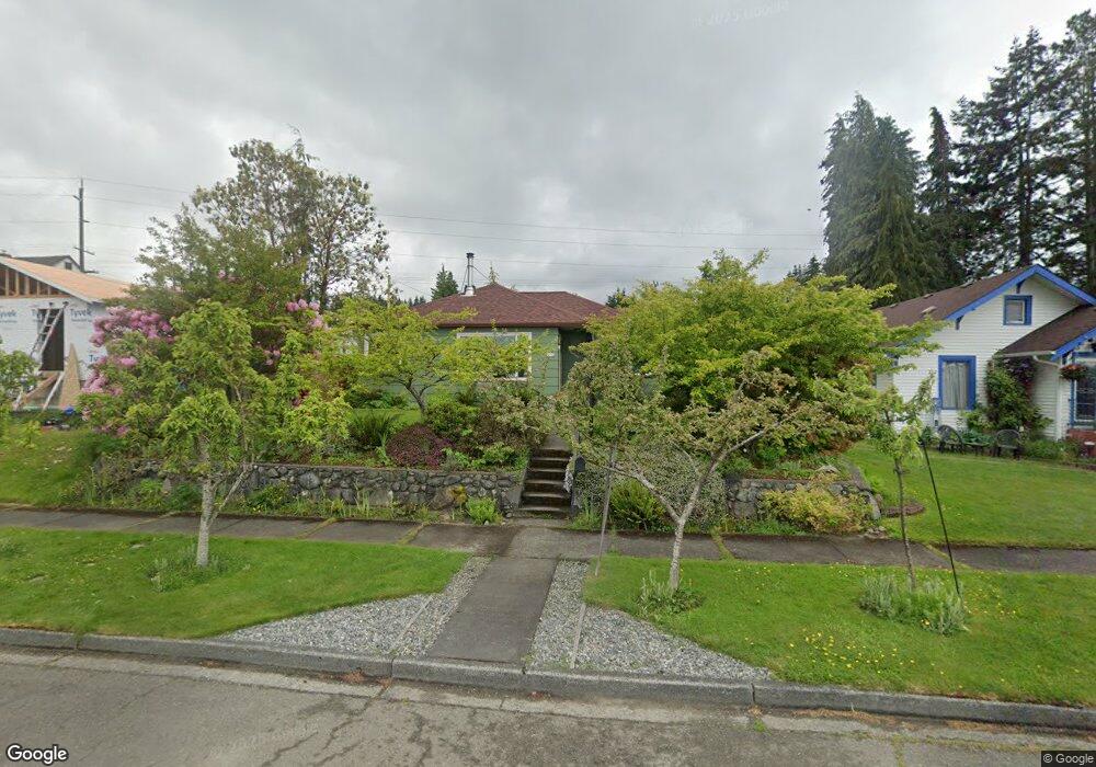
628 E 11th St Port Angeles, WA 98362
Estimated Value: $326,912 - $337,000
2
Beds
1
Bath
954
Sq Ft
$349/Sq Ft
Est. Value
About This Home
This home is located at 628 E 11th St, Port Angeles, WA 98362 and is currently estimated at $332,637, approximately $348 per square foot. 628 E 11th St is a home located in Clallam County with nearby schools including Franklin Elementary School, Stevens Middle School, and Port Angeles High School.
Ownership History
Date
Name
Owned For
Owner Type
Purchase Details
Closed on
Dec 4, 2008
Sold by
Bank Of New York
Bought by
Bell Bryan and Beals Tracy
Current Estimated Value
Home Financials for this Owner
Home Financials are based on the most recent Mortgage that was taken out on this home.
Original Mortgage
$109,900
Outstanding Balance
$73,812
Interest Rate
6.47%
Mortgage Type
New Conventional
Estimated Equity
$258,825
Purchase Details
Closed on
Sep 19, 2008
Sold by
Scott Thomas B and Scott Audrey M
Bought by
The Bank Of New York
Create a Home Valuation Report for This Property
The Home Valuation Report is an in-depth analysis detailing your home's value as well as a comparison with similar homes in the area
Home Values in the Area
Average Home Value in this Area
Purchase History
| Date | Buyer | Sale Price | Title Company |
|---|---|---|---|
| Bell Bryan | $159,900 | Clallam Title Co | |
| The Bank Of New York | -- | Olympic Peninsula Title Co |
Source: Public Records
Mortgage History
| Date | Status | Borrower | Loan Amount |
|---|---|---|---|
| Open | Bell Bryan | $109,900 |
Source: Public Records
Tax History Compared to Growth
Tax History
| Year | Tax Paid | Tax Assessment Tax Assessment Total Assessment is a certain percentage of the fair market value that is determined by local assessors to be the total taxable value of land and additions on the property. | Land | Improvement |
|---|---|---|---|---|
| 2021 | $2,246 | $174,495 | $50,000 | $124,495 |
| 2020 | $1,808 | $168,111 | $50,000 | $118,111 |
| 2018 | $1,485 | $135,297 | $50,000 | $85,297 |
| 2017 | $1,386 | $115,810 | $50,000 | $65,810 |
| 2016 | $1,386 | $117,244 | $50,000 | $67,244 |
| 2015 | $1,386 | $110,167 | $50,000 | $60,167 |
| 2013 | $1,386 | $110,761 | $50,000 | $60,761 |
| 2012 | $1,386 | $117,636 | $53,125 | $64,511 |
Source: Public Records
Map
Nearby Homes
- 703 E 10th St
- 733 E 10th St
- 733 E 10th St Unit 733 E. Tenth Street
- 220 Lopez Ave
- 618 E Whidby Ave
- 429 E Whidby Ave
- 817 E 7th St
- 1110 S Chase St
- 2608 S Washington St
- 216 E 9th St
- 219 E 8th St
- 9999 E Park Ave
- 834 E 4th St
- 218 Lopez Ave
- 1136 E 7th St
- 3017 S Regent St
- 702 & 702 1/2 E 2nd St
- 117 W 10th St
- 702 E 2nd St Unit 7025
- 622 E 11th St
- 636 E 11th St
- 616 E 11th St
- 619 E Lauridsen Blvd
- 610 E 11th St
- 627 E 11th St
- 631 E 11th St
- 621 E 11th St
- 609 E Lauridsen Blvd
- 635 E 11th St
- 617 E 11th St
- 1105 S Eunice St
- 1109 S Albert St
- 606 E 11th St
- 609 E 11th St
- 607 E Lauridsen Blvd
- 628 E Lauridsen Blvd
- 626 E Lauridsen Blvd
- 701 E 11th St
- 636 E Lauridsen Blvd