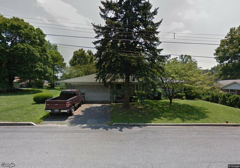
628 E Cypress St Palmyra, PA 17078
Estimated Value: $264,000 - $310,000
3
Beds
1
Bath
1,403
Sq Ft
$204/Sq Ft
Est. Value
About This Home
This home is located at 628 E Cypress St, Palmyra, PA 17078 and is currently estimated at $286,864, approximately $204 per square foot. 628 E Cypress St is a home located in Lebanon County with nearby schools including Palmyra Area Senior High School, St. Joan of Arc Elementary School, and Milton Hershey School.
Ownership History
Date
Name
Owned For
Owner Type
Purchase Details
Closed on
Jul 9, 2020
Sold by
Hewitt Amy
Bought by
Torng Sovananth
Current Estimated Value
Home Financials for this Owner
Home Financials are based on the most recent Mortgage that was taken out on this home.
Original Mortgage
$275,488
Outstanding Balance
$244,285
Interest Rate
3.1%
Mortgage Type
FHA
Estimated Equity
$42,580
Purchase Details
Closed on
Aug 25, 2019
Sold by
Nornhold Steven G and Estate Of Harold A Nornhold
Bought by
Hewitt Amy
Create a Home Valuation Report for This Property
The Home Valuation Report is an in-depth analysis detailing your home's value as well as a comparison with similar homes in the area
Home Values in the Area
Average Home Value in this Area
Purchase History
| Date | Buyer | Sale Price | Title Company |
|---|---|---|---|
| Torng Sovananth | $285,000 | Hershey Abstract Setmnt Svcs | |
| Hewitt Amy | $140,800 | Residential Com Abstract Inc |
Source: Public Records
Mortgage History
| Date | Status | Borrower | Loan Amount |
|---|---|---|---|
| Open | Torng Sovananth | $275,488 |
Source: Public Records
Tax History
| Year | Tax Paid | Tax Assessment Tax Assessment Total Assessment is a certain percentage of the fair market value that is determined by local assessors to be the total taxable value of land and additions on the property. | Land | Improvement |
|---|---|---|---|---|
| 2025 | $3,937 | $160,300 | $31,800 | $128,500 |
| 2024 | $3,648 | $160,300 | $31,800 | $128,500 |
| 2023 | $3,648 | $160,300 | $31,800 | $128,500 |
| 2022 | $3,554 | $160,300 | $31,800 | $128,500 |
| 2021 | $3,358 | $160,300 | $31,800 | $128,500 |
| 2020 | $3,313 | $160,300 | $31,800 | $128,500 |
| 2019 | $3,248 | $160,300 | $31,800 | $128,500 |
| 2018 | $3,214 | $160,300 | $31,800 | $128,500 |
| 2017 | $851 | $160,300 | $31,800 | $128,500 |
| 2016 | $3,006 | $160,300 | $31,800 | $128,500 |
| 2015 | -- | $160,300 | $31,800 | $128,500 |
| 2014 | -- | $160,300 | $31,800 | $128,500 |
Source: Public Records
Map
Nearby Homes
- 930 S Green St
- 425 E Maple St
- 1160 Park Dr
- 220 E Main St
- 22 N Lincoln St
- 223 S Locust St
- 75 Cortland Crossing
- 21 Saratoga Run L-0121 Run
- 501 W Oak St
- 30 Willow St
- 22 Willow St
- 14 Willow St
- 4 Evergreen Aly
- 13 Evergreen Aly
- 717 W Oak St
- 509 Sunset Blvd
- 600 Sunset Blvd
- 625 N Lincoln St
- 38 Canterbury Ln
- 40 Canterbury Ln
- 740 S Green St
- 633 E Elm St
- 741 S Forge Rd
- 641 E Elm St
- 617 E Cypress St
- 750 S Green St
- 650 S Green St
- 647 E Elm St
- 635 S Forge Rd
- 615 S Forge Rd
- 624 E Birch St
- 636 E Birch St
- - S Green St Unit 224
- 610 S Green St
- 600 E Elm St
- 740 S Forge Rd
- 650 E Birch St
- 760 S Forge Rd
- 630 S Forge Rd
- 616 S Forge Rd
Your Personal Tour Guide
Ask me questions while you tour the home.