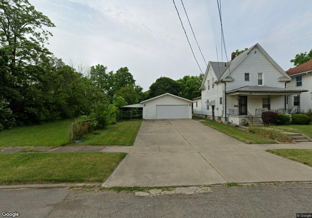
628 E Taylor St Flint, MI 48505
King Avenue Plus NeighborhoodEstimated Value: $84,000
Studio
1
Bath
1,386
Sq Ft
$61/Sq Ft
Est. Value
About This Home
This home is located at 628 E Taylor St, Flint, MI 48505 and is currently estimated at $84,000, approximately $60 per square foot. 628 E Taylor St is a home located in Genesee County with nearby schools including Brownell STEM Academy, Flint Cultural Center Academy, and WAY Academy of Flint.
Ownership History
Date
Name
Owned For
Owner Type
Purchase Details
Closed on
Dec 20, 2012
Sold by
Cherry Deborah L
Bought by
Genesee County Land Bank
Current Estimated Value
Purchase Details
Closed on
Nov 20, 2009
Sold by
Kildee Daniel T
Bought by
Brown Cynthia
Purchase Details
Closed on
Jan 10, 2001
Sold by
Brown D
Bought by
Brown Della and Brown Leonard
Home Financials for this Owner
Home Financials are based on the most recent Mortgage that was taken out on this home.
Original Mortgage
$28,000
Interest Rate
7.1%
Mortgage Type
Purchase Money Mortgage
Create a Home Valuation Report for This Property
The Home Valuation Report is an in-depth analysis detailing your home's value as well as a comparison with similar homes in the area
Home Values in the Area
Average Home Value in this Area
Purchase History
| Date | Buyer | Sale Price | Title Company |
|---|---|---|---|
| Genesee County Land Bank | -- | None Available | |
| Brown Cynthia | -- | None Available | |
| Brown Della | -- | Tri County Title Agency Inc |
Source: Public Records
Mortgage History
| Date | Status | Borrower | Loan Amount |
|---|---|---|---|
| Previous Owner | Brown Della | $28,000 |
Source: Public Records
Tax History
| Year | Tax Paid | Tax Assessment Tax Assessment Total Assessment is a certain percentage of the fair market value that is determined by local assessors to be the total taxable value of land and additions on the property. | Land | Improvement |
|---|---|---|---|---|
| 2025 | -- | $0 | $0 | $0 |
| 2024 | -- | $0 | $0 | $0 |
| 2023 | -- | $0 | $0 | $0 |
| 2022 | $0 | $0 | $0 | $0 |
| 2021 | $0 | $0 | $0 | $0 |
| 2020 | $0 | $0 | $0 | $0 |
| 2019 | $0 | $0 | $0 | $0 |
| 2018 | $0 | $0 | $0 | $0 |
| 2017 | $0 | $0 | $0 | $0 |
| 2016 | $0 | $0 | $0 | $0 |
| 2015 | -- | $0 | $0 | $0 |
| 2014 | -- | $0 | $0 | $0 |
| 2012 | -- | $4,200 | $0 | $0 |
Source: Public Records
Map
Nearby Homes
- 218 E Jackson Ave
- 2217 Francis Ave
- 115 E Genesee St
- 115 W Baker St
- 429 Page St
- 1710 Wilberforce Cir
- 1706 Wilberforce Cir
- 200 W Mcclellan St
- 132 W Jamieson St
- 902 Addison St
- 906 Addison St
- 3810 Marvin St
- 320 W Mcclellan St
- 409 W Genesee St
- 800 Martin Luther King Ave
- 432 W Dartmouth St
- 1606 Garland St
- 506 Green St
- 1303 Root St
- 4028 North St
- 620 E Taylor St
- 616 E Taylor St
- 629 E Rankin St
- 621 E Taylor St
- 615 E Rankin St
- 2605 N Saginaw St
- 625 E Taylor St
- 613 E Taylor St
- 2601 Saginaw St
- 602 E Taylor St
- 605 E Rankin St
- 605 E Taylor St
- 626 E Dartmouth St
- 626 E Rankin St
- 630 E Dartmouth St
- 622 E Rankin St
- 618 E Dartmouth St
- 614 E Dartmouth St
- 2513 N Saginaw St
- 533 E Rankin St
Your Personal Tour Guide
Ask me questions while you tour the home.