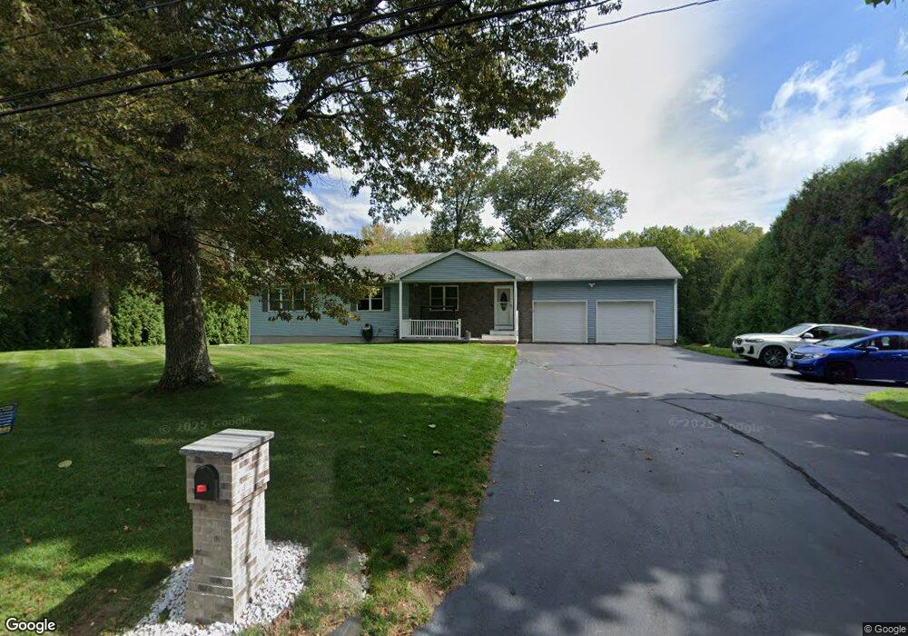
628 Fuller St Ludlow, MA 01056
Estimated Value: $418,820 - $483,000
3
Beds
2
Baths
1,600
Sq Ft
$289/Sq Ft
Est. Value
About This Home
This home is located at 628 Fuller St, Ludlow, MA 01056 and is currently estimated at $462,955, approximately $289 per square foot. 628 Fuller St is a home located in Hampden County with nearby schools including East Street Elementary School, Chapin Street Elementary School, and Paul R. Baird Middle School.
Ownership History
Date
Name
Owned For
Owner Type
Purchase Details
Closed on
Jul 30, 2010
Sold by
Hamilton Walter B
Bought by
Chenier James L
Current Estimated Value
Home Financials for this Owner
Home Financials are based on the most recent Mortgage that was taken out on this home.
Original Mortgage
$210,000
Outstanding Balance
$140,505
Interest Rate
4.78%
Mortgage Type
Purchase Money Mortgage
Estimated Equity
$322,450
Purchase Details
Closed on
Feb 5, 2008
Sold by
Es Mayewski Antonina K and Mayoski Richard R
Bought by
Hamilton Walter B
Create a Home Valuation Report for This Property
The Home Valuation Report is an in-depth analysis detailing your home's value as well as a comparison with similar homes in the area
Home Values in the Area
Average Home Value in this Area
Purchase History
| Date | Buyer | Sale Price | Title Company |
|---|---|---|---|
| Chenier James L | $210,000 | -- | |
| Hamilton Walter B | $75,000 | -- |
Source: Public Records
Mortgage History
| Date | Status | Borrower | Loan Amount |
|---|---|---|---|
| Open | Chenier James L | $210,000 |
Source: Public Records
Tax History
| Year | Tax Paid | Tax Assessment Tax Assessment Total Assessment is a certain percentage of the fair market value that is determined by local assessors to be the total taxable value of land and additions on the property. | Land | Improvement |
|---|---|---|---|---|
| 2025 | $7,053 | $406,500 | $87,500 | $319,000 |
| 2024 | $7,015 | $387,800 | $87,500 | $300,300 |
| 2023 | $6,735 | $345,200 | $76,800 | $268,400 |
| 2022 | $6,385 | $319,400 | $76,800 | $242,600 |
| 2021 | $6,402 | $303,700 | $76,800 | $226,900 |
| 2020 | $6,180 | $299,700 | $75,600 | $224,100 |
| 2019 | $5,823 | $293,800 | $74,900 | $218,900 |
| 2018 | $5,475 | $288,000 | $74,900 | $213,100 |
| 2017 | $5,351 | $288,800 | $72,700 | $216,100 |
| 2016 | $5,348 | $295,000 | $74,700 | $220,300 |
| 2015 | $4,858 | $281,000 | $74,000 | $207,000 |
Source: Public Records
Map
Nearby Homes
- 173 Colonial Dr
- '0' Rood St
- 420 West St
- 350 West St Unit 3
- 350 West St Unit 19
- 350 West St Unit 17
- 482 Holyoke St
- 47 Kendall St
- 665 Center St Unit 706
- 382 Holyoke St
- 339 Chicopee St Unit Lot 7
- 337 Chicopee St Unit Lot 8
- 254 Pinewood Rd
- 84 Chapin Greene Dr
- 70 Sroka Ln
- 102 Swan Ave
- 980 Center St
- 119 Blisswood Village Dr
- 26 Swan Ave
- 80 R East St
Your Personal Tour Guide
Ask me questions while you tour the home.