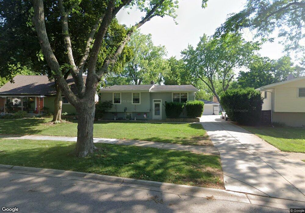
628 Hickory Dr Buffalo Grove, IL 60089
South Buffalo Grove NeighborhoodEstimated Value: $301,000 - $465,000
3
Beds
1
Bath
1,024
Sq Ft
$378/Sq Ft
Est. Value
About This Home
This home is located at 628 Hickory Dr, Buffalo Grove, IL 60089 and is currently estimated at $387,553, approximately $378 per square foot. 628 Hickory Dr is a home located in Cook County with nearby schools including Henry W Longfellow Elementary School, Cooper Middle School, and Buffalo Grove High School.
Ownership History
Date
Name
Owned For
Owner Type
Purchase Details
Closed on
Apr 29, 1999
Sold by
Hubbard Stephen W and Hubbard Sue Ann
Bought by
Pawlak James and Pawlak Joan O
Current Estimated Value
Home Financials for this Owner
Home Financials are based on the most recent Mortgage that was taken out on this home.
Original Mortgage
$188,549
Outstanding Balance
$44,788
Interest Rate
7.04%
Mortgage Type
FHA
Estimated Equity
$342,765
Purchase Details
Closed on
Apr 9, 1997
Sold by
Bergquist Steven T and Bergquist Marcy I
Bought by
Hubbard Stephen W and Hubbard Sue Ann
Home Financials for this Owner
Home Financials are based on the most recent Mortgage that was taken out on this home.
Original Mortgage
$175,700
Interest Rate
7.93%
Create a Home Valuation Report for This Property
The Home Valuation Report is an in-depth analysis detailing your home's value as well as a comparison with similar homes in the area
Home Values in the Area
Average Home Value in this Area
Purchase History
| Date | Buyer | Sale Price | Title Company |
|---|---|---|---|
| Pawlak James | $190,000 | Burnet Title Llc | |
| Hubbard Stephen W | $171,000 | -- |
Source: Public Records
Mortgage History
| Date | Status | Borrower | Loan Amount |
|---|---|---|---|
| Open | Pawlak James | $188,549 | |
| Previous Owner | Hubbard Stephen W | $175,700 |
Source: Public Records
Tax History
| Year | Tax Paid | Tax Assessment Tax Assessment Total Assessment is a certain percentage of the fair market value that is determined by local assessors to be the total taxable value of land and additions on the property. | Land | Improvement |
|---|---|---|---|---|
| 2025 | $7,580 | $31,000 | $7,741 | $23,259 |
| 2024 | $7,580 | $27,000 | $6,635 | $20,365 |
| 2023 | $7,260 | $27,000 | $6,635 | $20,365 |
| 2022 | $7,260 | $27,000 | $6,635 | $20,365 |
| 2021 | $6,948 | $22,997 | $4,238 | $18,759 |
| 2020 | $6,840 | $22,997 | $4,238 | $18,759 |
| 2019 | $6,832 | $25,496 | $4,238 | $21,258 |
| 2018 | $6,975 | $23,688 | $3,686 | $20,002 |
| 2017 | $6,867 | $23,688 | $3,686 | $20,002 |
| 2016 | $6,655 | $23,688 | $3,686 | $20,002 |
| 2015 | $5,959 | $20,165 | $3,133 | $17,032 |
| 2014 | $5,879 | $20,165 | $3,133 | $17,032 |
| 2013 | $5,416 | $20,165 | $3,133 | $17,032 |
Source: Public Records
Map
Nearby Homes
- 267 Timber Hill Rd
- 334 Stillwell Dr
- 393 Indian Hill Dr
- 222 Saint Marys Pkwy
- 496 Raupp Blvd
- 517 Longwood Dr
- 535 Weidner Rd
- 462 Longwood Dr
- 140 Manchester Dr Unit 408
- 170 Manchester Dr Unit 306
- 141 Manchester Ct
- 808 Old Checker Rd Unit C2
- 671 Hapsfield Ln Unit 105
- 800 Weidner Rd Unit 208
- 125 N Buffalo Grove Rd Unit 407
- 621 Hapsfield Ln Unit 103
- 820 Weidner Rd Unit 4013
- 820 Weidner Rd Unit 409
- 1096 Beechwood Rd
- 631 Hapsfield Ln Unit 631106
Your Personal Tour Guide
Ask me questions while you tour the home.