Estimated Value: $269,954 - $301,000
3
Beds
2
Baths
1,312
Sq Ft
$219/Sq Ft
Est. Value
About This Home
This home is located at 628 Kennedy Ave, Omro, WI 54963 and is currently estimated at $286,739, approximately $218 per square foot. 628 Kennedy Ave is a home located in Winnebago County with nearby schools including Patch Elementary School, Omro Elementary School, and Omro Middle School.
Ownership History
Date
Name
Owned For
Owner Type
Purchase Details
Closed on
Apr 29, 2010
Sold by
Stone Barbara J
Bought by
Andersen Cory L
Current Estimated Value
Purchase Details
Closed on
Jun 23, 2005
Sold by
Co Anchorbnak Fsb
Bought by
Stone Barbara J
Home Financials for this Owner
Home Financials are based on the most recent Mortgage that was taken out on this home.
Original Mortgage
$110,400
Interest Rate
5.86%
Mortgage Type
New Conventional
Purchase Details
Closed on
Apr 16, 2005
Sold by
Eichman Gerald R and Eichman Jacqueline L
Bought by
Co Anchor Bank Fsb
Create a Home Valuation Report for This Property
The Home Valuation Report is an in-depth analysis detailing your home's value as well as a comparison with similar homes in the area
Home Values in the Area
Average Home Value in this Area
Purchase History
| Date | Buyer | Sale Price | Title Company |
|---|---|---|---|
| Andersen Cory L | $146,000 | -- | |
| Stone Barbara J | $138,000 | None Available | |
| Co Anchor Bank Fsb | -- | None Available |
Source: Public Records
Mortgage History
| Date | Status | Borrower | Loan Amount |
|---|---|---|---|
| Previous Owner | Stone Barbara J | $110,400 |
Source: Public Records
Tax History Compared to Growth
Tax History
| Year | Tax Paid | Tax Assessment Tax Assessment Total Assessment is a certain percentage of the fair market value that is determined by local assessors to be the total taxable value of land and additions on the property. | Land | Improvement |
|---|---|---|---|---|
| 2024 | $3,948 | $152,800 | $26,000 | $126,800 |
| 2023 | $3,566 | $152,800 | $26,000 | $126,800 |
| 2022 | $3,525 | $152,800 | $26,000 | $126,800 |
| 2021 | $3,320 | $152,800 | $26,000 | $126,800 |
| 2020 | $3,342 | $152,800 | $26,000 | $126,800 |
| 2019 | $3,214 | $152,800 | $26,000 | $126,800 |
| 2018 | $3,220 | $152,800 | $26,000 | $126,800 |
| 2017 | $3,248 | $136,600 | $23,000 | $113,600 |
| 2016 | $3,173 | $136,600 | $23,000 | $113,600 |
| 2015 | $3,308 | $136,600 | $23,000 | $113,600 |
| 2014 | -- | $135,800 | $23,000 | $112,800 |
| 2013 | -- | $135,800 | $23,000 | $112,800 |
Source: Public Records
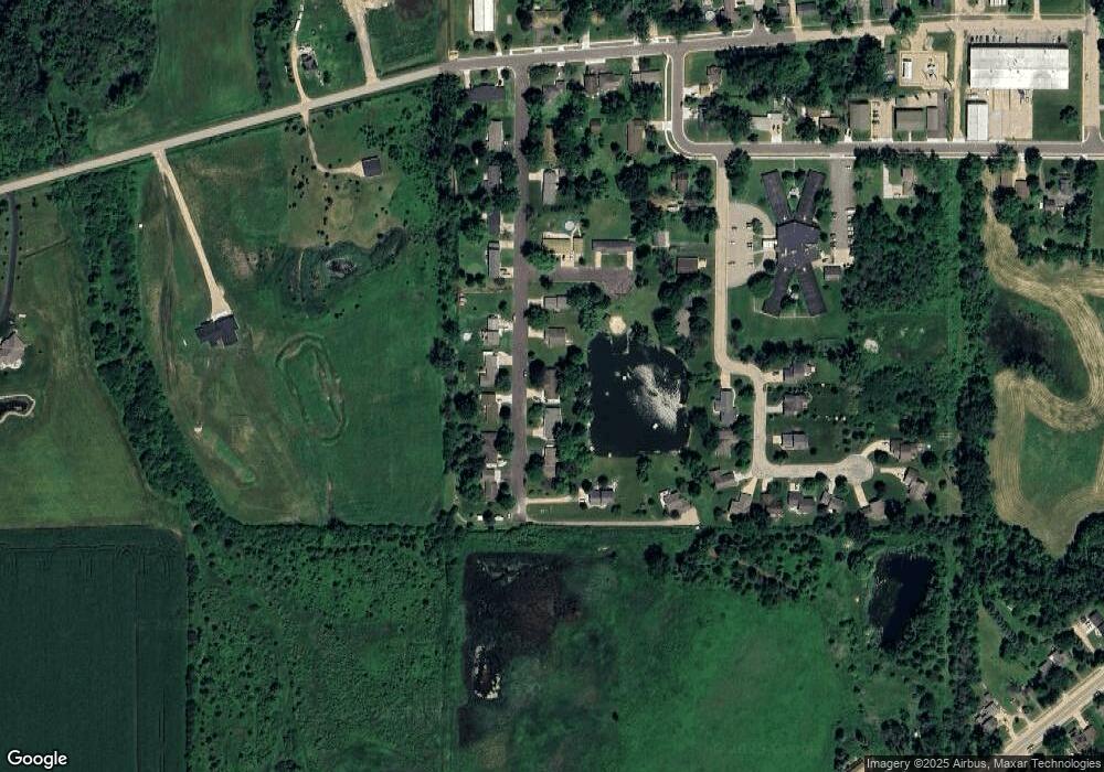
Map
Nearby Homes
- 610 Tyler Ave
- 343 Dakota Lee Way
- 220 Brooke Dr Unit 1
- 1860 Justin Dr
- 1110 E Main St
- 1741 Jaimee Dr
- 366 Brooke Dr
- 364 Brooke Dr
- 367 Brooke Dr
- 320 Brooke Dr
- 314 Brooke Dr
- 1343-CE Plan at Springview Acres
- 1328-CH Plan at Springview Acres
- 1365-BA Plan at Springview Acres
- 0 Broderick Rd
- 8096 Channel Ln
- 6059 E Scott St
- 4980 Broderick Rd
- 0 Springbrook Rd Unit 1990202
- 0 Oreilly Rd Unit 50316262
- 616 Kennedy Ave
- 625 Kennedy Ave
- 701 Kennedy Ave
- 706 Kennedy Ave
- 611 Kennedy Ave
- 715 Kennedy Ave
- 724 Kennedy Ave
- 602 Kennedy Ave
- 730 Kennedy Ave
- 731 Kennedy Ave
- 736 Kennedy Ave
- 521 Kennedy Ave
- 700 Park Ave
- 722 Park Ave
- 511 Kennedy Ave
- 531 Grant Ave
- 527 Grant Ave
- 635 Grant Ave
- 436 Kennedy Ave
- 649 Grant Ave