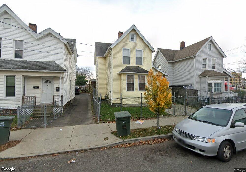
628 Maple St Bridgeport, CT 06608
East Side Bridgeport NeighborhoodEstimated Value: $252,000 - $437,000
4
Beds
2
Baths
1,242
Sq Ft
$272/Sq Ft
Est. Value
About This Home
This home is located at 628 Maple St, Bridgeport, CT 06608 and is currently estimated at $337,246, approximately $271 per square foot. 628 Maple St is a home located in Fairfield County with nearby schools including Waltersville School, Harding High School, and Capital Prep Harbor Upper School.
Ownership History
Date
Name
Owned For
Owner Type
Purchase Details
Closed on
Apr 6, 2001
Sold by
Luigi Llc
Bought by
Coppola Luigi
Current Estimated Value
Purchase Details
Closed on
Jun 30, 1999
Sold by
Brown Joseph and Golphin Jermain
Bought by
Cleave Bernard
Create a Home Valuation Report for This Property
The Home Valuation Report is an in-depth analysis detailing your home's value as well as a comparison with similar homes in the area
Home Values in the Area
Average Home Value in this Area
Purchase History
| Date | Buyer | Sale Price | Title Company |
|---|---|---|---|
| Coppola Luigi | $260,000 | -- | |
| Coppola Luigi | $260,000 | -- | |
| Cleave Bernard | $1,500 | -- | |
| Cleave Bernard | $1,500 | -- |
Source: Public Records
Mortgage History
| Date | Status | Borrower | Loan Amount |
|---|---|---|---|
| Open | Cleave Bernard | $168,000 | |
| Closed | Cleave Bernard | $149,600 | |
| Closed | Cleave Bernard | $108,000 |
Source: Public Records
Tax History Compared to Growth
Tax History
| Year | Tax Paid | Tax Assessment Tax Assessment Total Assessment is a certain percentage of the fair market value that is determined by local assessors to be the total taxable value of land and additions on the property. | Land | Improvement |
|---|---|---|---|---|
| 2025 | $3,907 | $89,920 | $30,900 | $59,020 |
| 2024 | $3,907 | $89,920 | $30,900 | $59,020 |
| 2023 | $3,907 | $89,920 | $30,900 | $59,020 |
| 2022 | $3,907 | $89,920 | $30,900 | $59,020 |
| 2021 | $3,907 | $89,920 | $30,900 | $59,020 |
| 2020 | $3,513 | $65,070 | $7,320 | $57,750 |
| 2019 | $3,513 | $65,070 | $7,320 | $57,750 |
| 2018 | $3,538 | $65,070 | $7,320 | $57,750 |
| 2017 | $3,538 | $65,070 | $7,320 | $57,750 |
| 2016 | $3,538 | $65,070 | $7,320 | $57,750 |
| 2015 | $3,922 | $92,950 | $14,160 | $78,790 |
| 2014 | $3,922 | $92,950 | $14,160 | $78,790 |
Source: Public Records
Map
Nearby Homes
- 620 Maple St
- 632 Maple St
- 1002 Pembroke St
- 640 Maple St Unit 642
- 644 Maple St Unit 646
- 1028 Pembroke St
- 990 Pembroke St
- 652 Maple St Unit 654
- 652 Maple St
- 1030 Pembroke St
- 651 Maple St Unit 2
- 651 Maple St Unit 1
- 1027 Pembroke St
- 649 Maple St
- 1038 Pembroke St
- 653 Maple St Unit 3
- 656 Maple St
- 980 Pembroke St Unit 1L
- 980 Pembroke St Unit 2R
- 980 Pembroke St Unit 2L