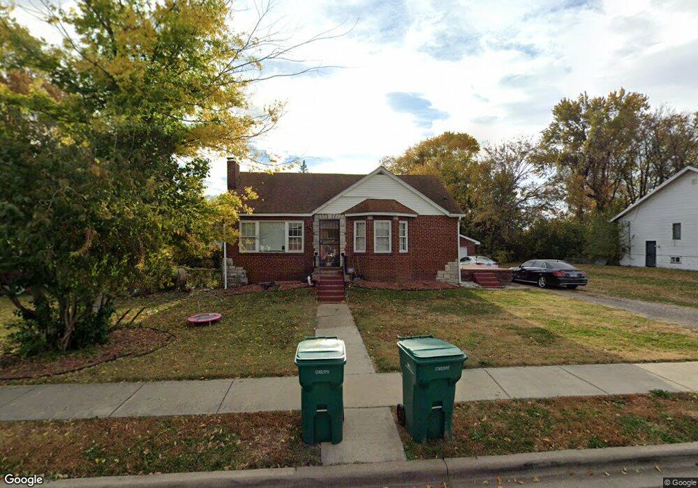
628 N 76th St East Saint Louis, IL 62203
Estimated Value: $37,000 - $45,672
--
Bed
--
Bath
939
Sq Ft
$44/Sq Ft
Est. Value
About This Home
This home is located at 628 N 76th St, East Saint Louis, IL 62203 and is currently estimated at $40,891, approximately $43 per square foot. 628 N 76th St is a home located in St. Clair County with nearby schools including Katie Harper-Wright Elementary School, Mason/Clark Middle School, and East St Louis Senior High School.
Ownership History
Date
Name
Owned For
Owner Type
Purchase Details
Closed on
Oct 30, 2024
Sold by
Brinkley Corey D
Bought by
Affordable Housing Kc Llc
Current Estimated Value
Home Financials for this Owner
Home Financials are based on the most recent Mortgage that was taken out on this home.
Original Mortgage
$37,000
Outstanding Balance
$36,632
Interest Rate
6.12%
Mortgage Type
Purchase Money Mortgage
Estimated Equity
$4,259
Purchase Details
Closed on
Nov 30, 2012
Sold by
Engelke Richard A and Engelke Sharon S
Bought by
Brinkley Carl
Create a Home Valuation Report for This Property
The Home Valuation Report is an in-depth analysis detailing your home's value as well as a comparison with similar homes in the area
Home Values in the Area
Average Home Value in this Area
Purchase History
| Date | Buyer | Sale Price | Title Company |
|---|---|---|---|
| Affordable Housing Kc Llc | $33,000 | Freedom Title | |
| Brinkley Carl | $5,000 | None Available |
Source: Public Records
Mortgage History
| Date | Status | Borrower | Loan Amount |
|---|---|---|---|
| Open | Affordable Housing Kc Llc | $37,000 |
Source: Public Records
Tax History Compared to Growth
Tax History
| Year | Tax Paid | Tax Assessment Tax Assessment Total Assessment is a certain percentage of the fair market value that is determined by local assessors to be the total taxable value of land and additions on the property. | Land | Improvement |
|---|---|---|---|---|
| 2024 | $1,561 | $11,709 | $2,310 | $9,399 |
| 2023 | $1,431 | $10,401 | $2,052 | $8,349 |
| 2022 | $1,231 | $8,895 | $1,895 | $7,000 |
| 2021 | $1,198 | $8,415 | $1,793 | $6,622 |
| 2020 | $1,269 | $8,544 | $1,820 | $6,724 |
| 2019 | $1,353 | $8,544 | $1,820 | $6,724 |
| 2018 | $1,396 | $8,341 | $1,807 | $6,534 |
| 2017 | $697 | $8,229 | $1,783 | $6,446 |
| 2016 | $1,406 | $8,261 | $1,790 | $6,471 |
| 2014 | $967 | $11,371 | $3,197 | $8,174 |
| 2013 | $128 | $13,547 | $3,280 | $10,267 |
Source: Public Records
Map
Nearby Homes
- 0 Rogers St Unit MAR24076886
- 659 N 70th St
- 861 Pershing Blvd
- 546 N 81st St
- 839 N 82nd St
- 6814 State St
- 837 N 70th St
- 462 N 83rd St
- 6801 Lake Dr
- 11 Calhoun Ln
- 1226 N 71st St
- 6101 Laura Ave
- 38 Granvue Dr
- 6 Hilltop Place
- 14 Granvue Dr
- 1428 1st Ave
- 100 S 98th St
- 212 Woodcrest Dr
- 1619 Pontiac Rd
- 80 N 98th St