Estimated Value: $508,000 - $546,000
3
Beds
3
Baths
2,166
Sq Ft
$242/Sq Ft
Est. Value
About This Home
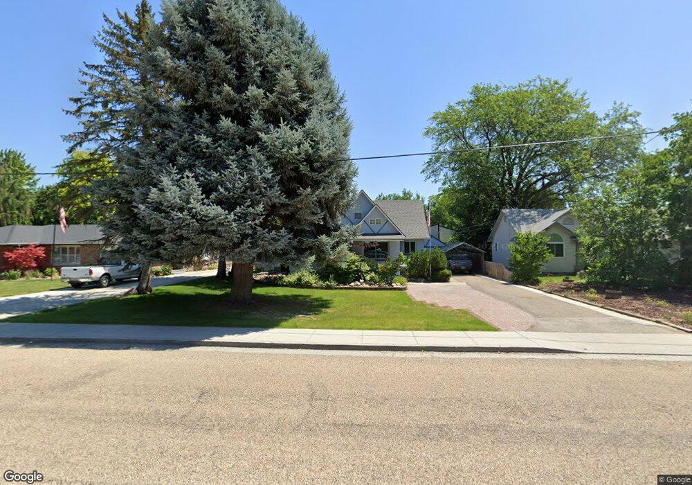
This home is located at 628 S Powerline Rd, Nampa, ID 83686 and is currently estimated at $525,195, approximately $242 per square foot. 628 S Powerline Rd is a home located in Canyon County with nearby schools including Sherman Elementary School, West Middle School, and Skyview High School.
Ownership History
Date
Name
Owned For
Owner Type
Purchase Details
Closed on
Jun 20, 2019
Sold by
Nicholson Lynn Stephen and Nicholson Sandra J
Bought by
The Nicholson Family Living Trust
Current Estimated Value
Purchase Details
Closed on
May 16, 2011
Sold by
Nicholson Lynn Stephen
Bought by
Nicholson Lynn S and Nicholson Sandra J
Purchase Details
Closed on
Feb 22, 2010
Sold by
Nicholson Sandra J
Bought by
Nicholson Lynn Stephen
Purchase Details
Closed on
Feb 14, 2007
Sold by
Nicholson Lynn Stephen
Bought by
Nicholson Lynn Stephen and Nicholson Sandra J
Create a Home Valuation Report for This Property
The Home Valuation Report is an in-depth analysis detailing your home's value as well as a comparison with similar homes in the area
Home Values in the Area
Average Home Value in this Area
Purchase History
| Date | Buyer | Sale Price | Title Company |
|---|---|---|---|
| The Nicholson Family Living Trust | -- | None Available | |
| Nicholson Lynn S | -- | None Available | |
| Nicholson Lynn Stephen | -- | None Available | |
| Nicholson Lynn Stephen | -- | None Available |
Source: Public Records
Tax History Compared to Growth
Tax History
| Year | Tax Paid | Tax Assessment Tax Assessment Total Assessment is a certain percentage of the fair market value that is determined by local assessors to be the total taxable value of land and additions on the property. | Land | Improvement |
|---|---|---|---|---|
| 2025 | $2,187 | $500,500 | $176,000 | $324,500 |
| 2024 | $2,187 | $478,200 | $156,400 | $321,800 |
| 2023 | $2,161 | $488,700 | $156,400 | $332,300 |
| 2022 | $2,812 | $506,000 | $156,400 | $349,600 |
| 2021 | $2,666 | $351,300 | $73,300 | $278,000 |
| 2020 | $1,200 | $285,300 | $63,600 | $221,700 |
| 2019 | $2,860 | $278,200 | $63,600 | $214,600 |
| 2018 | $2,522 | $0 | $0 | $0 |
| 2017 | $2,032 | $0 | $0 | $0 |
| 2016 | $1,852 | $0 | $0 | $0 |
| 2015 | $1,671 | $0 | $0 | $0 |
| 2014 | $1,680 | $167,700 | $29,000 | $138,700 |
Source: Public Records
Map
Nearby Homes
- 520 S Powerline Rd
- 416 S Powerline Rd
- 618 Dufur St
- 1207 E Sheridan Ave
- 1115 E Clark Ave
- 216 S Powerline Rd
- 1716 Nixon Ave
- 1047 S 20th St
- 1157 S Powerline Rd
- 223 S Elder St
- 516 20th Ave S
- 1300 Diamond Ct
- 2308 E Elm Grove Dr
- 511 20th Ave S
- 512 19th Ave S
- 712 E Sheridan Ave
- 1009 Poppy Dr
- 11480 W Sammi St
- 15634 N Shadow Cove Ave
- 615 18th Ave S
- 708 S Powerline Rd
- 622 S Powerline Rd
- 720 S Powerline Rd
- 701 S Florence Ct
- 703 S Florence Ct
- 700 S Florence Ct
- 724 S Powerline Rd
- 620 S Powerline Rd
- 1604 E Amity Ave
- 705 S Florence Ct
- 702 S Florence Ct
- 703 S Powerline Rd
- 721 S Powerline Rd
- 707 S Powerline Rd
- 623 S Powerline Rd
- TBD Florence Ct
- 1616 E Amity Ave
- 612 S Powerline Rd
- 725 S Powerline Rd
- 1519 E Amity Ave