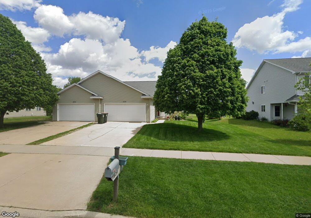
628 Tower Dr Unit 628 Sun Prairie, WI 53590
Northern Sun Prairie NeighborhoodEstimated Value: $298,000 - $377,000
3
Beds
3
Baths
2,163
Sq Ft
$152/Sq Ft
Est. Value
About This Home
This home is located at 628 Tower Dr Unit 628, Sun Prairie, WI 53590 and is currently estimated at $329,427, approximately $152 per square foot. 628 Tower Dr Unit 628 is a home located in Dane County with nearby schools including Bird Elementary School, Patrick Marsh Middle School, and Peace Lutheran School & Prekindergarten.
Ownership History
Date
Name
Owned For
Owner Type
Purchase Details
Closed on
Nov 13, 2018
Sold by
Hughes Timothy N and Hughes Rita M
Bought by
Hughes James V and Hughes Sarah M
Current Estimated Value
Purchase Details
Closed on
Jul 28, 2009
Sold by
Haley George B and Haley Alice E
Bought by
Hughes Timothy N and Hughes Rita M
Home Financials for this Owner
Home Financials are based on the most recent Mortgage that was taken out on this home.
Original Mortgage
$171,950
Outstanding Balance
$120,567
Interest Rate
6.75%
Mortgage Type
New Conventional
Estimated Equity
$208,860
Purchase Details
Closed on
Jun 15, 2006
Sold by
Larson Michael G and Larson Angie S
Bought by
Haley George B and Haley Alice E
Home Financials for this Owner
Home Financials are based on the most recent Mortgage that was taken out on this home.
Original Mortgage
$85,000
Interest Rate
6.72%
Mortgage Type
New Conventional
Create a Home Valuation Report for This Property
The Home Valuation Report is an in-depth analysis detailing your home's value as well as a comparison with similar homes in the area
Home Values in the Area
Average Home Value in this Area
Purchase History
| Date | Buyer | Sale Price | Title Company |
|---|---|---|---|
| Hughes James V | -- | None Available | |
| Hughes Timothy N | $181,000 | None Available | |
| Haley George B | $168,000 | None Available |
Source: Public Records
Mortgage History
| Date | Status | Borrower | Loan Amount |
|---|---|---|---|
| Open | Hughes Timothy N | $171,950 | |
| Previous Owner | Haley George B | $85,000 |
Source: Public Records
Tax History Compared to Growth
Tax History
| Year | Tax Paid | Tax Assessment Tax Assessment Total Assessment is a certain percentage of the fair market value that is determined by local assessors to be the total taxable value of land and additions on the property. | Land | Improvement |
|---|---|---|---|---|
| 2024 | $4,615 | $248,700 | $51,500 | $197,200 |
| 2023 | $4,165 | $248,700 | $51,500 | $197,200 |
| 2021 | $4,034 | $197,800 | $29,400 | $168,400 |
| 2020 | $4,163 | $197,800 | $29,400 | $168,400 |
| 2019 | $4,075 | $172,600 | $28,000 | $144,600 |
| 2018 | $3,788 | $172,600 | $28,000 | $144,600 |
| 2017 | $3,657 | $172,600 | $28,000 | $144,600 |
| 2016 | $3,686 | $157,800 | $23,900 | $133,900 |
| 2015 | $3,586 | $157,800 | $23,900 | $133,900 |
| 2014 | $3,286 | $144,100 | $23,900 | $120,200 |
| 2013 | $4,026 | $144,100 | $23,900 | $120,200 |
Source: Public Records
Map
Nearby Homes
- 1048 Stonewood Crossing
- 208 Scenic Ct
- 633 Stonehaven Dr
- 856 Saint Albert the Great Dr Unit 856
- 680 Stonehaven Dr
- 1171 School St Unit 1171
- 972 Chandler Ln Unit 972
- 994 Chandler Ln
- 952 Chandler Ln Unit 952
- 955 Liberty Blvd Unit 103
- 1010 Andrews Dr
- 1013 Vandenburg St
- 921 Pine St
- 706 Woodland Dr
- 1046 Stonehaven Dr
- 1325 Bunker Hill Dr Unit 3104
- 1180 Patriot Way
- 1294 Saint Albert the Great Dr
- 6532 N Bird St
- 918 N Pine St
- 632 Tower Dr Unit 632
- 620 Tower Dr
- 640 Tower Dr
- 614 Tower Dr
- 611 Millrun Cir
- 1140 Fitness Run
- 619 Millrun Cir
- 1160 Fitness Run
- 1120 Fitness Run
- 602 Tower Dr
- 652 Tower Dr
- 605 Millrun Cir
- 625 Millrun Cir
- 601 Tower Dr
- 635 Millrun Cir
- 678 Tower Dr
- 674 Tower Dr Unit 674
- 1080 Fitness Run
- 614 Millrun Cir
- 1220 Fitness Run