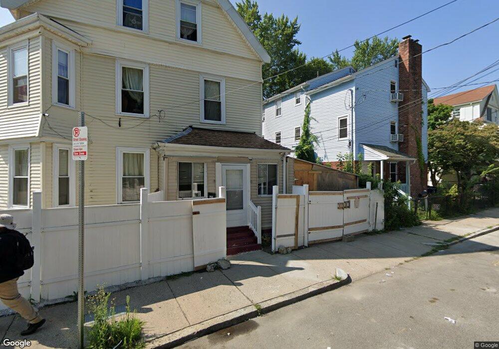
628 W Park St Unit 2 Dorchester Center, MA 02124
Franklin Field North NeighborhoodEstimated Value: $531,000 - $727,000
6
Beds
2
Baths
1,958
Sq Ft
$321/Sq Ft
Est. Value
About This Home
This home is located at 628 W Park St Unit 2, Dorchester Center, MA 02124 and is currently estimated at $627,957, approximately $320 per square foot. 628 W Park St Unit 2 is a home located in Suffolk County with nearby schools including Codman Academy Charter Public School.
Ownership History
Date
Name
Owned For
Owner Type
Purchase Details
Closed on
Feb 26, 2010
Sold by
Delis Jean
Bought by
Elie Marie M
Current Estimated Value
Purchase Details
Closed on
Oct 3, 2005
Sold by
Awuzie Ekene
Bought by
Delis Jean F and Elie Marie M
Home Financials for this Owner
Home Financials are based on the most recent Mortgage that was taken out on this home.
Original Mortgage
$239,200
Interest Rate
5.84%
Mortgage Type
Purchase Money Mortgage
Create a Home Valuation Report for This Property
The Home Valuation Report is an in-depth analysis detailing your home's value as well as a comparison with similar homes in the area
Home Values in the Area
Average Home Value in this Area
Purchase History
| Date | Buyer | Sale Price | Title Company |
|---|---|---|---|
| Elie Marie M | -- | -- | |
| Delis Jean F | $299,000 | -- |
Source: Public Records
Mortgage History
| Date | Status | Borrower | Loan Amount |
|---|---|---|---|
| Previous Owner | Delis Jean F | $239,200 |
Source: Public Records
Tax History Compared to Growth
Tax History
| Year | Tax Paid | Tax Assessment Tax Assessment Total Assessment is a certain percentage of the fair market value that is determined by local assessors to be the total taxable value of land and additions on the property. | Land | Improvement |
|---|---|---|---|---|
| 2025 | $4,816 | $415,900 | $0 | $415,900 |
| 2024 | $4,264 | $391,200 | $0 | $391,200 |
| 2023 | $4,077 | $379,600 | $0 | $379,600 |
| 2022 | $3,932 | $361,400 | $0 | $361,400 |
| 2021 | $3,744 | $350,900 | $0 | $350,900 |
| 2020 | $2,357 | $223,200 | $0 | $223,200 |
| 2019 | $2,200 | $208,700 | $0 | $208,700 |
| 2018 | $2,082 | $198,700 | $0 | $198,700 |
| 2017 | $2,023 | $191,000 | $0 | $191,000 |
| 2016 | $1,927 | $175,200 | $0 | $175,200 |
| 2015 | $2,177 | $179,800 | $0 | $179,800 |
| 2014 | $2,155 | $171,300 | $0 | $171,300 |
Source: Public Records
Map
Nearby Homes
- 10 Westcott St Unit 3
- 10 Westcott St Unit 1
- 45-45A Spencer St
- 15 Nightingale St
- 92 Spencer St
- 19 Nightingale St
- 72 Kingsdale St
- 81 Kingsdale St
- 12 Spencer St
- 88 Wales St Unit 3
- 146 Spencer St
- 88 Esmond St
- 33 Kenberma Rd Unit 3
- 23 Dunlap St
- 104 Nightingale St
- 40 Elmont St Unit 2
- 10 School St
- 52 Bicknell St
- 54 Bicknell St Unit 3
- 54 Bicknell St Unit 2
- 628 W Park St Unit 1
- 632 W Park St
- 632 W Park St Unit 2
- 3 Westcott St
- 636 W Park St Unit 638
- 48 Warner St
- 5 Westcott St Unit 5A
- 2 Westcott St
- 46 Warner St
- 623 W Park St
- 45 Standish St
- 66 Bernard St
- 4 Westcott St
- 7 Westcott St
- 68 Bernard St Unit 3
- 68 Bernard St Unit 2
- 68 Bernard St Unit 1
- 70 Bernard St
- 51 Warner St Unit 1
- 51 Warner St