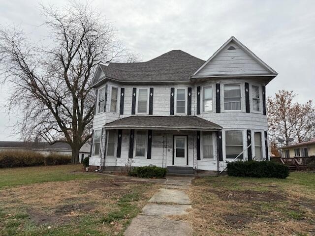

628 Woodland Ave Moberly, MO 65270
Estimated payment $855/month
Highlights
- Popular Property
- Main Floor Bedroom
- No HOA
- Wood Flooring
- Bonus Room
- Home Office
About This Home
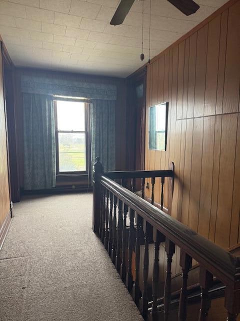
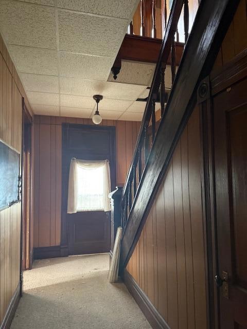
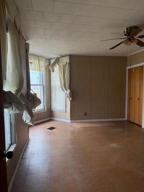
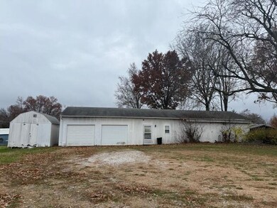
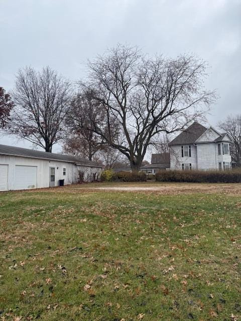
STATELY HISTORIC HOME LOADED WITH CHARM. 4 Bedrooms, 5 possible, 2 Baths, Large Rooms, Office Space Upper Level, Beautiful Original Woodwork, Original Staircase. Fireplace in LR used for Esthetic Purposes. New Roof installed this Summer and Foundation has been re-enforced. Two Major Expenses have been completed for the next owner. Partial unfinished basement, Lots of Outdoor space, Recently surveyed, 24' x 68' Detached Garage/Shop Combination. Waiting to be Completed. Professional Photos will be available soon.

Home Details
Home Type
- Single Family
Est. Annual Taxes
- $813
Lot Details
- North Facing Home
- Level Lot
- Historic Home
Parking
- 2 Car Detached Garage
- Dirt Driveway
Home Design
- Block Foundation
- Architectural Shingle Roof
Interior Spaces
- 2,618 Sq Ft Home
- 2-Story Property
- Fireplace
- Wood Frame Window
- Entrance Foyer
- Living Room
- Formal Dining Room
- Home Office
- Bonus Room
- Unfinished Basement
- Interior Basement Entry
- Storm Doors
Flooring
- Wood
- Carpet
- Vinyl
Bedrooms and Bathrooms
- 4 Bedrooms
- Main Floor Bedroom
- Bathroom on Main Level
- 2 Full Bathrooms
- Bathtub with Shower
Outdoor Features
- Covered Patio or Porch
- Shop
Schools
- Gratz Brown Elementary School
- Moberly Jr Hi Middle School
- Moberly Sr Hi High School
Community Details
- No Home Owners Association
- Moberly Subdivision
Listing and Financial Details
- Assessor Parcel Number 09-3.0-06.0-3.0-002-005.000
Map
Home Values in the Area
Average Home Value in this Area
Tax History
| Year | Tax Paid | Tax Assessment Tax Assessment Total Assessment is a certain percentage of the fair market value that is determined by local assessors to be the total taxable value of land and additions on the property. | Land | Improvement |
|---|---|---|---|---|
| 2025 | $741 | $10,950 | $1,638 | $9,312 |
| 2024 | $741 | $10,170 | $1,425 | $8,745 |
| 2023 | $752 | $10,170 | $1,425 | $8,745 |
| 2022 | $702 | $9,750 | $1,425 | $8,325 |
| 2021 | $702 | $9,750 | $1,425 | $8,325 |
| 2020 | $702 | $9,750 | $1,425 | $8,325 |
| 2019 | $700 | $9,750 | $1,425 | $8,325 |
| 2018 | $698 | $9,750 | $1,425 | $8,325 |
| 2017 | $697 | $9,750 | $0 | $0 |
| 2016 | $696 | $9,800 | $0 | $0 |
| 2014 | -- | $8,960 | $0 | $0 |
| 2013 | -- | $8,960 | $0 | $0 |
| 2012 | -- | $8,960 | $0 | $0 |
Property History
| Date | Event | Price | List to Sale | Price per Sq Ft |
|---|---|---|---|---|
| 11/25/2025 11/25/25 | For Sale | $150,000 | -- | $57 / Sq Ft |
Purchase History
| Date | Type | Sale Price | Title Company |
|---|---|---|---|
| Warranty Deed | -- | Town & Country Abstract | |
| Warranty Deed | -- | Town & Country Abstract | |
| Quit Claim Deed | -- | -- |
Source: Columbia Board of REALTORS®
MLS Number: 431025
APN: 09-3.0-06.0-3.0-002-005.000
Disclaimer: Certain information contained herein is derived from information provided by parties other than Homes.com. All information provided is deemed reliable, but is not guaranteed to be accurate and should be independently verified.
![]() IDX information is provided exclusively for personal, non-commercial use, and may not be used for any purpose other than to identify prospective properties consumers may be interested in purchasing. Information is deemed reliable but not guaranteed.
IDX information is provided exclusively for personal, non-commercial use, and may not be used for any purpose other than to identify prospective properties consumers may be interested in purchasing. Information is deemed reliable but not guaranteed.