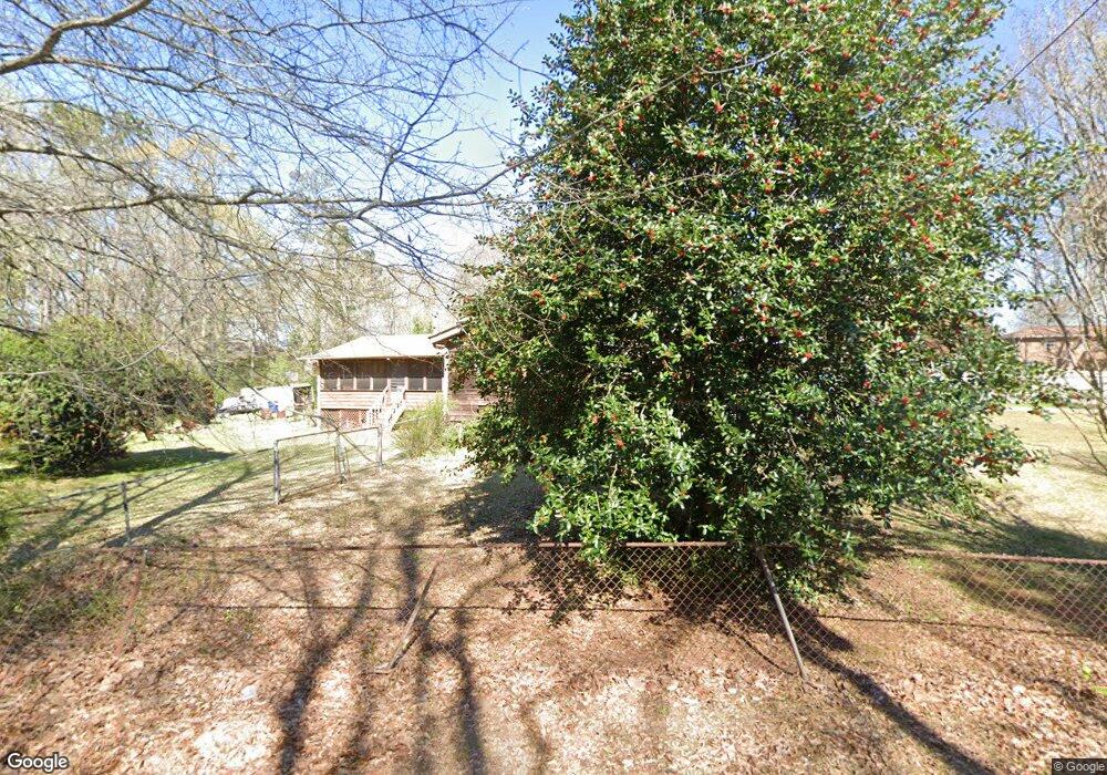
6280 Silver Creek Ln Austell, GA 30168
Estimated Value: $315,000 - $356,000
3
Beds
2
Baths
2,164
Sq Ft
$151/Sq Ft
Est. Value
About This Home
This home is located at 6280 Silver Creek Ln, Austell, GA 30168 and is currently estimated at $327,290, approximately $151 per square foot. 6280 Silver Creek Ln is a home located in Cobb County with nearby schools including Austell Elementary School, Garrett Middle School, and DELTA STEAM Academy.
Ownership History
Date
Name
Owned For
Owner Type
Purchase Details
Closed on
Nov 30, 2001
Sold by
Nesbitt Albert R and Nesbitt Judith K
Bought by
Warden Mareea
Current Estimated Value
Home Financials for this Owner
Home Financials are based on the most recent Mortgage that was taken out on this home.
Original Mortgage
$145,713
Outstanding Balance
$56,448
Interest Rate
6.6%
Mortgage Type
FHA
Estimated Equity
$270,842
Create a Home Valuation Report for This Property
The Home Valuation Report is an in-depth analysis detailing your home's value as well as a comparison with similar homes in the area
Home Values in the Area
Average Home Value in this Area
Purchase History
| Date | Buyer | Sale Price | Title Company |
|---|---|---|---|
| Warden Mareea | $148,000 | -- |
Source: Public Records
Mortgage History
| Date | Status | Borrower | Loan Amount |
|---|---|---|---|
| Open | Warden Mareea | $145,713 |
Source: Public Records
Tax History Compared to Growth
Tax History
| Year | Tax Paid | Tax Assessment Tax Assessment Total Assessment is a certain percentage of the fair market value that is determined by local assessors to be the total taxable value of land and additions on the property. | Land | Improvement |
|---|---|---|---|---|
| 2025 | $2,646 | $120,700 | $35,720 | $84,980 |
| 2024 | $2,649 | $120,700 | $35,720 | $84,980 |
| 2023 | $1,763 | $104,896 | $35,720 | $69,176 |
| 2022 | $1,765 | $79,320 | $22,560 | $56,760 |
| 2021 | $1,518 | $68,040 | $19,552 | $48,488 |
| 2020 | $1,419 | $63,528 | $15,040 | $48,488 |
| 2019 | $1,419 | $63,528 | $15,040 | $48,488 |
| 2018 | $1,207 | $53,816 | $8,648 | $45,168 |
| 2017 | $855 | $39,564 | $5,640 | $33,924 |
| 2016 | $856 | $39,564 | $5,640 | $33,924 |
| 2015 | $886 | $39,932 | $3,760 | $36,172 |
| 2014 | $741 | $35,720 | $0 | $0 |
Source: Public Records
Map
Nearby Homes
- 2090 Old Alabama Rd
- 2023 Lee Dr
- 6083 Oak Hill Dr
- 2072 Woodbine Cir
- 6084 S Gordon Rd
- 1972 Cox Dr Unit 5
- 1794 Blossom Ln
- 6581 Coventry Point Unit 1
- 1984 Brenda Dr
- 1151 S Gordon Rd
- 1138 Pontiac Cir
- 1138 Pontiac Cir Unit 23
- 0 Maxham Rd Unit 10652291
- 2414 Old Alabama Rd
- 1155 Elowen Dr
- 1055 Elowen Dr
- 1995 Matt Dr
- 6718 Roscommon Dr
- 6445 Sherwood Trail
- 1995 Oak Ct
- 2047 Old Alabama Rd Unit 1
- 2059 Old Alabama Rd
- 2035 Old Alabama Rd
- 6290 Silver Creek Ln
- 2071 Old Alabama Rd
- 2071 Old Alabama Rd
- 2083 Old Alabama Rd
- 6281 Silver Creek Ln
- 6295 Silver Creek Ln
- 2029 Old Alabama Rd
- 2023 Old Alabama Rd
- 6300 Silver Creek Ln
- 2091 Old Alabama Rd
- 6285 Silver Creek Ln
- 2011 Old Alabama Rd
- 6166 Hill St
- 6291 Silver Creek Ln
- 2080 Old Alabama Rd
- 2090 Old Alabama Rd Unit B
- 1999 Old Alabama Rd