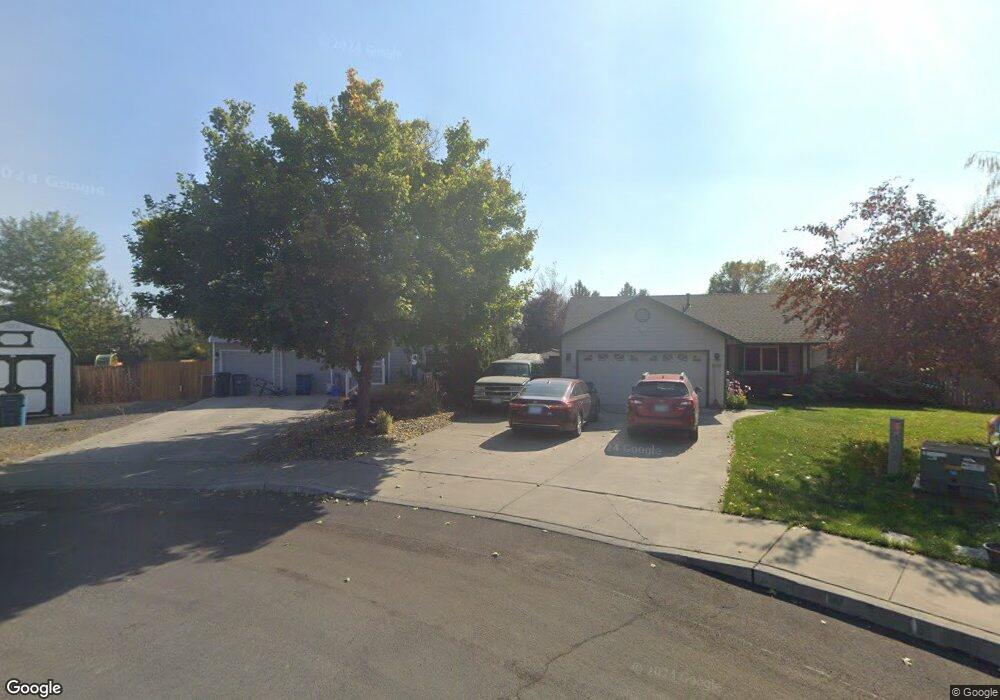
62806 Snowcap Ct Bend, OR 97701
Mountain View NeighborhoodEstimated Value: $594,000 - $636,000
3
Beds
3
Baths
1,910
Sq Ft
$318/Sq Ft
Est. Value
About This Home
This home is located at 62806 Snowcap Ct, Bend, OR 97701 and is currently estimated at $607,686, approximately $318 per square foot. 62806 Snowcap Ct is a home located in Deschutes County with nearby schools including Ponderosa Elementary School, Sky View Middle School, and Mountain View Senior High School.
Ownership History
Date
Name
Owned For
Owner Type
Purchase Details
Closed on
Oct 19, 2005
Sold by
Lane Michael D and Lane Kristin
Bought by
Swanston Sten and Swanston Lisa
Current Estimated Value
Home Financials for this Owner
Home Financials are based on the most recent Mortgage that was taken out on this home.
Original Mortgage
$223,920
Outstanding Balance
$117,151
Interest Rate
5.5%
Mortgage Type
Fannie Mae Freddie Mac
Estimated Equity
$490,535
Purchase Details
Closed on
Jun 27, 2005
Sold by
Phillips Travis C and Phillips Jennifer M
Bought by
Lane Michael D and Lane Kristin
Home Financials for this Owner
Home Financials are based on the most recent Mortgage that was taken out on this home.
Original Mortgage
$199,920
Interest Rate
5.75%
Mortgage Type
Fannie Mae Freddie Mac
Create a Home Valuation Report for This Property
The Home Valuation Report is an in-depth analysis detailing your home's value as well as a comparison with similar homes in the area
Home Values in the Area
Average Home Value in this Area
Purchase History
| Date | Buyer | Sale Price | Title Company |
|---|---|---|---|
| Swanston Sten | $279,900 | Amerititle | |
| Lane Michael D | $249,900 | Amerititle |
Source: Public Records
Mortgage History
| Date | Status | Borrower | Loan Amount |
|---|---|---|---|
| Open | Swanston Sten | $223,920 | |
| Previous Owner | Lane Michael D | $199,920 |
Source: Public Records
Tax History Compared to Growth
Tax History
| Year | Tax Paid | Tax Assessment Tax Assessment Total Assessment is a certain percentage of the fair market value that is determined by local assessors to be the total taxable value of land and additions on the property. | Land | Improvement |
|---|---|---|---|---|
| 2025 | $4,249 | $251,450 | -- | -- |
| 2024 | $4,088 | $244,130 | -- | -- |
| 2023 | $3,789 | $237,020 | $0 | $0 |
| 2022 | $3,535 | $223,420 | $0 | $0 |
| 2021 | $3,541 | $216,920 | $0 | $0 |
| 2020 | $3,359 | $216,920 | $0 | $0 |
| 2019 | $3,266 | $210,610 | $0 | $0 |
| 2018 | $3,174 | $204,480 | $0 | $0 |
| 2017 | $3,081 | $198,530 | $0 | $0 |
| 2016 | $2,938 | $192,750 | $0 | $0 |
| 2015 | $2,856 | $187,140 | $0 | $0 |
| 2014 | $2,772 | $181,690 | $0 | $0 |
Source: Public Records
Map
Nearby Homes
- 2807 NE Spring Water Place
- 2985 NE Alpen Glow Place
- 2985 NE Alpenglow Place
- 2812 NE Aldrich Ave
- 3227 NE Sandalwood Dr
- 3204 NE Spring Creek Place
- 2803 NE Faith Dr
- 62825 NE Cranbrook Place
- 2880 NE Rainier Dr
- 3273 NE Sandalwood Dr
- 2777 NE Rainier Dr Unit Lot 34
- 2769 NE Rainier Dr Unit Lot 33
- 2761 NE Rainier Dr Unit Lot 32
- 2724 NE Black Oak Place
- 21166 NE Beall Dr Unit Lot 17
- 21162 NE Beall Dr Unit 18
- 3151 NE Wells Acres Rd
- 21134 NE Beall Dr Unit Lot 25
- 2485 NE Jennie Jo Ct
- 62570 NE Loomis Ln Unit Lot 54
- 62802 Snowcap Ct
- 62810 Snowcap Ct
- 3015 NE Pacific Crest Dr
- 2988 NE Pinnacle Place
- 3003 NE Pacific Crest Dr
- 3031 NE Pacific Crest Dr
- 62803 Snowcap Ct
- 2989 NE Pacific Crest Dr
- 21237 Keyte Rd
- 2982 NE Pinnacle Place
- 62811 Snowcap Ct
- 21249 Keyte Rd
- 2994 NE Pinnacle Place
- 62807 Snowcap Ct
- 2975 NE Pacific Crest Dr
- 3016 NE Pacific Crest Dr
- 62815 Snowcap Ct
- 0 Snowcap Ct
- 2980 NE Pacific Crest Dr
- 2963 NE Pacific Crest Dr