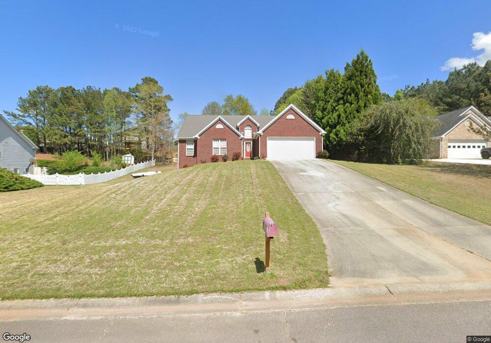
6281 Rock Port Dr Flowery Branch, GA 30542
Estimated Value: $410,304 - $477,000
3
Beds
2
Baths
2,025
Sq Ft
$220/Sq Ft
Est. Value
About This Home
This home is located at 6281 Rock Port Dr, Flowery Branch, GA 30542 and is currently estimated at $444,826, approximately $219 per square foot. 6281 Rock Port Dr is a home located in Hall County with nearby schools including Flowery Branch Elementary School, West Hall Middle School, and West Hall High School.
Ownership History
Date
Name
Owned For
Owner Type
Purchase Details
Closed on
Jul 12, 1996
Sold by
Bowen Bowenconstr Co Inc
Bought by
Corhan Christopher Debora
Current Estimated Value
Purchase Details
Closed on
Apr 1, 1996
Create a Home Valuation Report for This Property
The Home Valuation Report is an in-depth analysis detailing your home's value as well as a comparison with similar homes in the area
Home Values in the Area
Average Home Value in this Area
Purchase History
| Date | Buyer | Sale Price | Title Company |
|---|---|---|---|
| Corhan Christopher Debora | $140,300 | -- | |
| -- | $58,300 | -- |
Source: Public Records
Mortgage History
| Date | Status | Borrower | Loan Amount |
|---|---|---|---|
| Closed | Corhan Christopher Debora | $0 |
Source: Public Records
Tax History Compared to Growth
Tax History
| Year | Tax Paid | Tax Assessment Tax Assessment Total Assessment is a certain percentage of the fair market value that is determined by local assessors to be the total taxable value of land and additions on the property. | Land | Improvement |
|---|---|---|---|---|
| 2024 | $4,378 | $176,360 | $27,200 | $149,160 |
| 2023 | $3,044 | $138,120 | $25,120 | $113,000 |
| 2022 | $3,328 | $128,400 | $25,120 | $103,280 |
| 2021 | $2,926 | $110,720 | $16,560 | $94,160 |
| 2020 | $2,758 | $101,400 | $11,480 | $89,920 |
| 2019 | $2,627 | $95,680 | $11,480 | $84,200 |
| 2018 | $2,506 | $88,360 | $11,480 | $76,880 |
| 2017 | $2,459 | $87,600 | $11,480 | $76,120 |
| 2016 | $2,208 | $80,520 | $11,480 | $69,040 |
| 2015 | $1,633 | $58,867 | $9,200 | $49,667 |
| 2014 | $1,633 | $58,867 | $9,200 | $49,667 |
Source: Public Records
Map
Nearby Homes
- 6285 Rock Port Dr
- 6277 Rock Port Dr
- 6338 Brookridge Dr Unit LOT 33A
- 6289 Rock Port Dr
- 6273 Rock Port Dr
- 6342 Brookridge Dr
- 6346 Brookridge Dr
- 6334 Brookridge Dr
- 6334 Brookridge Dr Unit LOT 32A
- 6346 Wynfield Dr
- 6280 Rock Port Dr
- 6284 Rock Port Dr
- 6276 Rock Port Dr
- 6269 Rock Port Dr
- 6330 Brookridge Dr
- 6293 Rock Port Dr
- 6288 Rock Port Dr
- 6350 Brookridge Dr
- 6272 Rock Port Dr
- 6326 Brookridge Dr