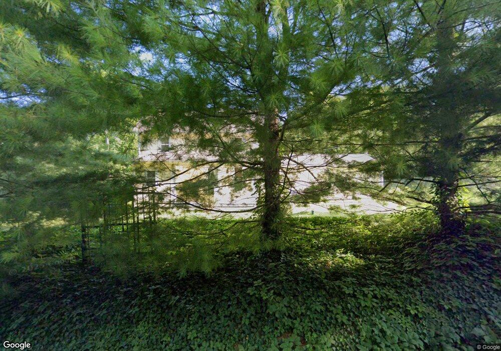
6282 Coonpath Rd Carroll, OH 43112
Bloom NeighborhoodEstimated Value: $605,000 - $731,000
4
Beds
3
Baths
3,148
Sq Ft
$213/Sq Ft
Est. Value
About This Home
This home is located at 6282 Coonpath Rd, Carroll, OH 43112 and is currently estimated at $671,965, approximately $213 per square foot. 6282 Coonpath Rd is a home located in Fairfield County with nearby schools including Bloom Carroll Primary School, Bloom Carroll Intermediate School, and Bloom-Carroll Middle School.
Ownership History
Date
Name
Owned For
Owner Type
Purchase Details
Closed on
Jun 16, 2025
Sold by
Barker Donald and Barker Sherri
Bought by
Barker Family Trust and Barker
Current Estimated Value
Purchase Details
Closed on
Mar 5, 2010
Sold by
Kilbarger Richard L and Kilbarger Brenda L
Bought by
Barker Donald
Create a Home Valuation Report for This Property
The Home Valuation Report is an in-depth analysis detailing your home's value as well as a comparison with similar homes in the area
Home Values in the Area
Average Home Value in this Area
Purchase History
| Date | Buyer | Sale Price | Title Company |
|---|---|---|---|
| Barker Family Trust | -- | None Listed On Document | |
| Barker Donald | $109,000 | None Available |
Source: Public Records
Tax History
| Year | Tax Paid | Tax Assessment Tax Assessment Total Assessment is a certain percentage of the fair market value that is determined by local assessors to be the total taxable value of land and additions on the property. | Land | Improvement |
|---|---|---|---|---|
| 2025 | $15,374 | $218,740 | $77,140 | $141,600 |
| 2024 | $15,374 | $186,580 | $41,130 | $145,450 |
| 2023 | $8,085 | $186,580 | $41,130 | $145,450 |
| 2022 | $8,146 | $186,580 | $41,130 | $145,450 |
| 2021 | $6,440 | $133,370 | $32,900 | $100,470 |
| 2020 | $6,489 | $133,370 | $32,900 | $100,470 |
| 2019 | $6,529 | $133,370 | $32,900 | $100,470 |
| 2018 | $5,871 | $115,990 | $27,640 | $88,350 |
| 2017 | $5,246 | $114,670 | $26,320 | $88,350 |
| 2016 | $5,169 | $114,670 | $26,320 | $88,350 |
| 2015 | $4,945 | $106,630 | $26,320 | $80,310 |
| 2014 | $4,749 | $106,630 | $26,320 | $80,310 |
| 2013 | $4,749 | $106,630 | $26,320 | $80,310 |
Source: Public Records
Map
Nearby Homes
- 3510 Kauffman Rd NW
- 3540 Carroll-Southern Rd NW
- 2115 Lamb Rd NW
- 2155 Carroll-Southern Rd NW
- 2291 Carroll-Southern Rd NW
- 50 Market St
- 52 W Canal St
- 7195 Alspach Rd NW
- 5341 Carnes Rd NW
- 8322 Benson Rd
- 5699 Feldon Ct NW
- 5840 High St NW
- 3355 Old Columbus Rd NW
- 6985 Royalton Rd SW
- 10 Mount Zion Rd NW
- 6103 Pickerington Rd
- 7835 E Ohio State Ln NW
- 55 Betz Rd SW
- 5560 Amanda Northern Rd NW
- 3076 Lithopolis Rd NW
- 6310 Coonpath Rd
- 3267 Kauffman Rd
- 6254 Coonpath Rd
- 6360 Coonpath Rd
- 6230 Coonpath Rd
- 6214 Coonpath Rd
- 6275 Coonpath Rd
- 6275 Coonpath Rd
- 6214 Coonpath Rd NW
- 3255 Kauffman Rd
- 6233 Coonpath Rd
- 6233 Coonpath Rd
- 6395 Coonpath Rd
- 6345 Coonpath Rd
- 6345 Coonpath Rd NW
- 6195 Coonpath Rd
- 3275 Kauffman Rd
- 6155 Coonpath Rd
- 6485 Coonpath Rd
- 6128 Coonpath Rd
Your Personal Tour Guide
Ask me questions while you tour the home.