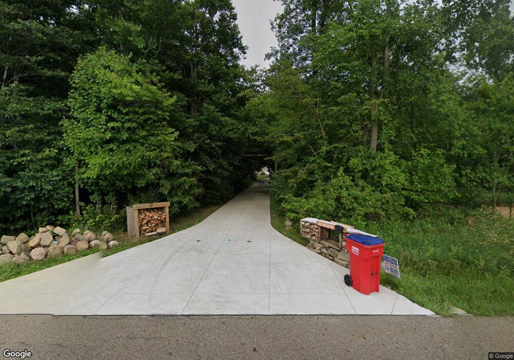
6282 Schilling Ave Louisville, OH 44641
Estimated Value: $438,000 - $557,000
4
Beds
3
Baths
2,296
Sq Ft
$215/Sq Ft
Est. Value
About This Home
This home is located at 6282 Schilling Ave, Louisville, OH 44641 and is currently estimated at $493,346, approximately $214 per square foot. 6282 Schilling Ave is a home located in Stark County with nearby schools including Louisville High School and St. Thomas Aquinas High School & Middle School.
Ownership History
Date
Name
Owned For
Owner Type
Purchase Details
Closed on
Mar 12, 2015
Sold by
Adams Jeremy M and Adams Stacey M
Bought by
Johnson Clifford R and Johnson Stacy M
Current Estimated Value
Home Financials for this Owner
Home Financials are based on the most recent Mortgage that was taken out on this home.
Original Mortgage
$208,000
Outstanding Balance
$159,189
Interest Rate
3.66%
Mortgage Type
New Conventional
Estimated Equity
$334,157
Create a Home Valuation Report for This Property
The Home Valuation Report is an in-depth analysis detailing your home's value as well as a comparison with similar homes in the area
Home Values in the Area
Average Home Value in this Area
Purchase History
| Date | Buyer | Sale Price | Title Company |
|---|---|---|---|
| Johnson Clifford R | $260,000 | Quest Title |
Source: Public Records
Mortgage History
| Date | Status | Borrower | Loan Amount |
|---|---|---|---|
| Open | Johnson Clifford R | $208,000 |
Source: Public Records
Tax History Compared to Growth
Tax History
| Year | Tax Paid | Tax Assessment Tax Assessment Total Assessment is a certain percentage of the fair market value that is determined by local assessors to be the total taxable value of land and additions on the property. | Land | Improvement |
|---|---|---|---|---|
| 2025 | -- | $155,900 | $23,210 | $132,690 |
| 2024 | -- | $155,900 | $23,210 | $132,690 |
| 2023 | $5,416 | $111,300 | $17,220 | $94,080 |
| 2022 | $5,425 | $111,300 | $17,220 | $94,080 |
| 2021 | $5,441 | $111,300 | $17,220 | $94,080 |
| 2020 | $4,675 | $101,050 | $15,540 | $85,510 |
| 2019 | $4,694 | $89,370 | $15,550 | $73,820 |
| 2018 | $4,140 | $89,370 | $15,550 | $73,820 |
| 2017 | $4,030 | $83,060 | $13,760 | $69,300 |
| 2016 | $3,995 | $84,220 | $13,760 | $70,460 |
| 2015 | $4,006 | $84,220 | $13,760 | $70,460 |
| 2014 | $1,206 | $62,340 | $12,010 | $50,330 |
| 2013 | $1,607 | $62,340 | $12,010 | $50,330 |
Source: Public Records
Map
Nearby Homes
- 6052 N Nickelplate St
- 5495 Meese Rd NE
- 5474 Ravenna Ave
- 910 Crosswyck Cir
- 316 E Reno Dr
- 1170 Winding Ridge Ave
- 5765 Maplegrove St
- 2015 E Main St
- 428 Honeycrisp Dr NE
- 3047 Mcintosh Dr NE
- 432 Honeycrisp Dr NE
- 2962 Mcintosh Dr NE
- 2963 Mcintosh Dr NE
- 430 Honeycrisp Dr NE
- 2957 Mcintosh Dr NE
- 524 Glenbar St
- 0 Michigan Blvd
- 0 Glenbar St
- 614 Reno Dr
- 203 Brookfield St
- 6316 Schilling Ave
- 6258 Shilling Ave NE
- 0 Shilling Ave NE Unit 3379991
- 0 Shilling Ave NE Unit 3702424
- 0 Shilling Ave NE Unit 3716484
- 0 Shilling Ave NE Unit 3716482
- 0 Shilling Ave NE Unit 3716478
- 0 Shilling Ave NE Unit 4359931
- 6254 Shilling Ave NE
- 6249 Shilling Ave NE
- 6407 Schilling Ave
- 6003 Schilling Ave
- 6475 Schilling Ave
- 6497 Shilling Ave NE
- 6535 Schilling Ave
- 6351 Schilling Ave
- 6575 Schilling Ave
- 6475 N Nickelplate St
- 6222 N Nickelplate St
- 6610 Schilling Ave