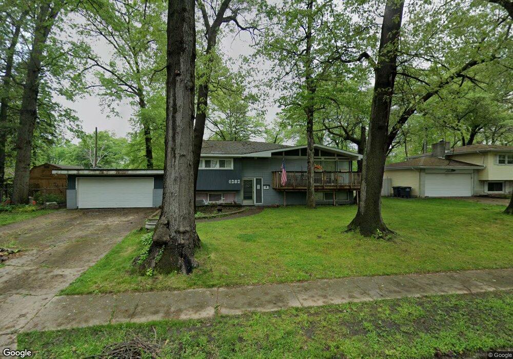
6282 Wyandot Ave Portage, IN 46368
Estimated Value: $270,000 - $291,000
3
Beds
1
Bath
2,317
Sq Ft
$121/Sq Ft
Est. Value
About This Home
This home is located at 6282 Wyandot Ave, Portage, IN 46368 and is currently estimated at $280,631, approximately $121 per square foot. 6282 Wyandot Ave is a home located in Porter County with nearby schools including Rowena Kyle Elementary School, Willowcreek Middle School, and Portage High School.
Ownership History
Date
Name
Owned For
Owner Type
Purchase Details
Closed on
Aug 3, 2018
Sold by
Gear Gary A and Gear Gary Allen
Bought by
Starcevic James N and Starcevic Janet R
Current Estimated Value
Home Financials for this Owner
Home Financials are based on the most recent Mortgage that was taken out on this home.
Original Mortgage
$69,600
Outstanding Balance
$60,445
Interest Rate
4.5%
Mortgage Type
New Conventional
Estimated Equity
$220,186
Purchase Details
Closed on
Aug 25, 2009
Sold by
Gear Victor H
Bought by
Gear Victor H and Gear Gary Allen
Create a Home Valuation Report for This Property
The Home Valuation Report is an in-depth analysis detailing your home's value as well as a comparison with similar homes in the area
Home Values in the Area
Average Home Value in this Area
Purchase History
| Date | Buyer | Sale Price | Title Company |
|---|---|---|---|
| Starcevic James N | -- | Fidelity National Title Co | |
| Gear Victor H | -- | Meridian Title Corp |
Source: Public Records
Mortgage History
| Date | Status | Borrower | Loan Amount |
|---|---|---|---|
| Open | Starcevic James N | $69,600 |
Source: Public Records
Tax History Compared to Growth
Tax History
| Year | Tax Paid | Tax Assessment Tax Assessment Total Assessment is a certain percentage of the fair market value that is determined by local assessors to be the total taxable value of land and additions on the property. | Land | Improvement |
|---|---|---|---|---|
| 2024 | $2,488 | $255,600 | $52,500 | $203,100 |
| 2023 | $2,243 | $246,800 | $49,900 | $196,900 |
| 2022 | $2,243 | $222,300 | $49,900 | $172,400 |
| 2021 | $1,957 | $193,700 | $49,900 | $143,800 |
| 2020 | $1,707 | $173,200 | $45,200 | $128,000 |
| 2019 | $1,310 | $147,800 | $45,200 | $102,600 |
| 2018 | $1,248 | $143,200 | $45,200 | $98,000 |
| 2017 | $4,388 | $148,400 | $45,200 | $103,200 |
| 2016 | $1,379 | $135,900 | $46,500 | $89,400 |
| 2014 | $1,342 | $132,200 | $42,000 | $90,200 |
| 2013 | -- | $124,700 | $41,900 | $82,800 |
Source: Public Records
Map
Nearby Homes
- 6363 Mulberry Ave
- 6285 Prophet Ave
- 2719 Charlotte St
- 6155 Sunrise Ave
- 2823 Eleanor St
- 2799 Winterberry Rd
- 6280 Summershade Dr
- 2820 Lois St
- 2708 Airport Rd
- 6331 Savannah Ave
- 2954 Airport Rd
- 3036 Mallory St
- 6029 Lexington Ave
- 6015 Lexington Ave
- 6542 O'Hare Ave
- 6576 Fairview Ave
- 2796 Willowcreek Rd
- 6356 Meadowridge
- 2772 Willowcreek Rd
- 2717 Walnut St
- 6292 Wyandot Ave
- 2809 Tecumseh St
- 6281 Mulberry Ave
- 6302 Wyandot Ave
- 6291 Mulberry Ave
- 6281 Wyandot Ave
- 6291 Wyandot Ave
- 6271 Mulberry Ave
- 2833 Tecumseh St
- 6301 Mulberry Ave
- 2844 Shawnee St
- 2814 Tecumseh St
- 6309 Wyandot Ave
- 2843 Tecumseh St
- 2806 Tecumseh St
- 6310 Wyandot Ave
- 2832 Tecumseh St
- 2796 Tecumseh St
- 6311 Mulberry Ave
- 6280 Mulberry Ave