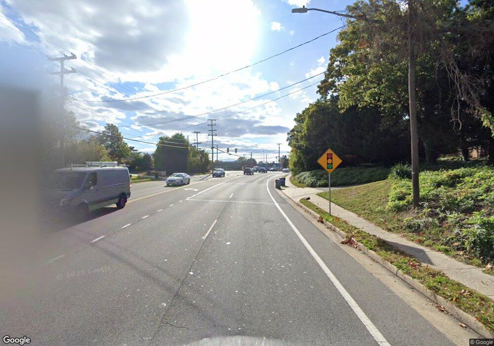
6283 #10 Franconia Rd Unit 10 Alexandria, VA 22310
Estimated Value: $903,702
--
Bed
--
Bath
3,549
Sq Ft
$255/Sq Ft
Est. Value
About This Home
This home is located at 6283 #10 Franconia Rd Unit 10, Alexandria, VA 22310 and is currently priced at $903,702, approximately $254 per square foot. 6283 #10 Franconia Rd Unit 10 is a home located in Fairfax County with nearby schools including Franconia Elementary School, Twain Middle School, and Edison High School.
Ownership History
Date
Name
Owned For
Owner Type
Purchase Details
Closed on
Jan 5, 2024
Sold by
Borowy William J and Borowy Sara L
Bought by
Franconia Road Llc
Current Estimated Value
Purchase Details
Closed on
Sep 30, 2022
Sold by
6283F Franconia Road Llc
Bought by
Borowy William J and Borowy Sara L
Home Financials for this Owner
Home Financials are based on the most recent Mortgage that was taken out on this home.
Original Mortgage
$273,500
Interest Rate
2%
Mortgage Type
New Conventional
Create a Home Valuation Report for This Property
The Home Valuation Report is an in-depth analysis detailing your home's value as well as a comparison with similar homes in the area
Home Values in the Area
Average Home Value in this Area
Purchase History
| Date | Buyer | Sale Price | Title Company |
|---|---|---|---|
| Franconia Road Llc | -- | Old Republic National Title | |
| Franconia Road Llc | -- | Old Republic National Title | |
| Borowy William J | $780,000 | Old Republic National Title |
Source: Public Records
Mortgage History
| Date | Status | Borrower | Loan Amount |
|---|---|---|---|
| Previous Owner | Borowy William J | $273,500 |
Source: Public Records
Tax History Compared to Growth
Tax History
| Year | Tax Paid | Tax Assessment Tax Assessment Total Assessment is a certain percentage of the fair market value that is determined by local assessors to be the total taxable value of land and additions on the property. | Land | Improvement |
|---|---|---|---|---|
| 2025 | $9,490 | $739,350 | $147,870 | $591,480 |
| 2024 | $9,490 | $739,350 | $147,870 | $591,480 |
| 2023 | $9,268 | $739,350 | $147,870 | $591,480 |
| 2022 | $7,336 | $578,340 | $115,670 | $462,670 |
| 2021 | $7,510 | $578,340 | $115,670 | $462,670 |
| 2020 | $7,568 | $578,340 | $115,670 | $462,670 |
| 2019 | $7,568 | $578,340 | $115,670 | $462,670 |
| 2018 | $6,651 | $578,340 | $115,670 | $462,670 |
| 2017 | $7,437 | $578,340 | $115,670 | $462,670 |
| 2016 | $7,381 | $575,050 | $115,010 | $460,040 |
Source: Public Records
Map
Nearby Homes
- 6481 Sharon Kay Ct
- 6342 Franconia Commons Dr
- 6447 Gildar St
- 6253 Sibel Place
- 6129 Franconia Station Ln
- 6521 Gildar St
- 6413 Lureta Ann Ln
- 6609 Elk Park Ct
- 6013 Franconia Forest Ln
- 6400 Inwood Dr
- 6198 Royal Crest Ln
- 6400 Kroy Dr
- 6225 Summit Point Ct
- 6638 Schurtz St
- 6207 Woodland Lake Dr
- 6169 Cinnamon Ct
- 6109 Larkspur Dr
- 6149 Cilantro Dr
- 6004 Keble Dr
- 6433 Rives Ct
- 6283 Franconia Rd Unit 10
- 6283 Franconia Rd
- 6285 Franconia Rd
- 6285 Franconia Rd Unit 11
- 6281 Franconia Rd
- 6279 Franconia Rd Unit 8
- 6279 Franconia Rd
- 6277 Franconia Rd
- 6275 Franconia Rd
- 6275 Franconia Rd Unit 6
- 6287 Franconia Rd
- 6273 Franconia Rd Unit 5
- 6273 Franconia Rd
- 6271 Franconia Rd
- 6267 Franconia Rd
- 6269 Franconia Rd
- 6400 Fleetside Ct
- 6265 Franconia Rd
- 6402 Fleetside Ct
- 6401 Nice Place
