6283 Secrest Rd Wooster, OH 44691
Estimated Value: $338,179 - $371,000
3
Beds
2
Baths
1,372
Sq Ft
$259/Sq Ft
Est. Value
About This Home
This home is located at 6283 Secrest Rd, Wooster, OH 44691 and is currently estimated at $355,545, approximately $259 per square foot. 6283 Secrest Rd is a home located in Wayne County with nearby schools including Waynedale High School, Maple Grove, and STONE HILL.
Ownership History
Date
Name
Owned For
Owner Type
Purchase Details
Closed on
Aug 6, 1997
Sold by
Lowenstein Beth A
Bought by
Snyder James R and Snyder Jeannine A
Current Estimated Value
Home Financials for this Owner
Home Financials are based on the most recent Mortgage that was taken out on this home.
Original Mortgage
$96,800
Interest Rate
7.68%
Mortgage Type
New Conventional
Create a Home Valuation Report for This Property
The Home Valuation Report is an in-depth analysis detailing your home's value as well as a comparison with similar homes in the area
Purchase History
| Date | Buyer | Sale Price | Title Company |
|---|---|---|---|
| Snyder James R | $135,000 | -- |
Source: Public Records
Mortgage History
| Date | Status | Borrower | Loan Amount |
|---|---|---|---|
| Previous Owner | Snyder James R | $96,800 |
Source: Public Records
Tax History
| Year | Tax Paid | Tax Assessment Tax Assessment Total Assessment is a certain percentage of the fair market value that is determined by local assessors to be the total taxable value of land and additions on the property. | Land | Improvement |
|---|---|---|---|---|
| 2024 | $3,823 | $106,350 | $27,280 | $79,070 |
| 2023 | $3,885 | $106,350 | $27,280 | $79,070 |
| 2022 | $3,011 | $74,890 | $19,210 | $55,680 |
| 2021 | $3,017 | $74,890 | $19,210 | $55,680 |
| 2020 | $3,050 | $74,890 | $19,210 | $55,680 |
| 2019 | $2,988 | $71,560 | $17,610 | $53,950 |
| 2018 | $3,105 | $71,560 | $17,610 | $53,950 |
| 2017 | $2,858 | $71,560 | $17,610 | $53,950 |
| 2016 | $2,779 | $62,220 | $15,310 | $46,910 |
| 2015 | $2,576 | $62,220 | $15,310 | $46,910 |
| 2014 | $2,590 | $62,220 | $15,310 | $46,910 |
| 2013 | $2,600 | $59,950 | $14,680 | $45,270 |
Source: Public Records
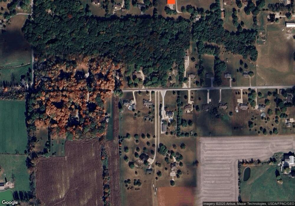
Map
Nearby Homes
- 4974 E Lincoln Way
- 314 Kountz Dr
- 311 Valley View Dr
- 3299 Crestview Dr
- 115 Cemetery St
- 660 Millborne Rd
- 1474 N Honeytown Rd
- 3065 Dover Rd
- 3419 Fredericksburg Rd
- 339 Villard St
- 132 Villard St
- 2630 Bauman Dr
- 2632 Peach Ln
- 8191 Back Orrville Rd
- 1045 Pittsburgh Ave
- 1718 Armadale Isle
- 606 E Henry St
- 920 Washington St
- 938 Washington St
- 1552 Renwood Dr
- 6245 Secrest Rd
- 6327 Secrest Rd
- 6258 Secrest Rd
- 6363 Secrest Rd
- 6201 Secrest Rd
- 6220 Secrest Rd
- 6300 Secrest Rd
- 6300 Secrest Rd
- 6299 Secrest Rd
- 6378 Secrest Rd
- 6182 Secrest Rd
- 6401 Secrest Rd
- 6173 Secrest Rd
- 6309 Secrest Rd
- 6416 Secrest Rd
- 6150 Secrest Rd
- 6151 Secrest Rd
- 6443 Secrest Rd
- 6452 Secrest Rd
- 6120 Secrest Rd
Your Personal Tour Guide
Ask me questions while you tour the home.