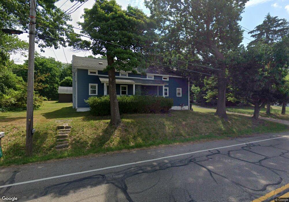
6285 Manchester Rd Clinton, OH 44216
Estimated Value: $70,000 - $187,000
3
Beds
1
Bath
1,317
Sq Ft
$95/Sq Ft
Est. Value
About This Home
This home is located at 6285 Manchester Rd, Clinton, OH 44216 and is currently estimated at $124,860, approximately $94 per square foot. 6285 Manchester Rd is a home located in Summit County with nearby schools including Manchester Middle School, Nolley Elementary School, and Manchester High School.
Ownership History
Date
Name
Owned For
Owner Type
Purchase Details
Closed on
Nov 30, 2025
Sold by
Freeman Barbara K
Bought by
Olminsky Charles W and Wilson Renee L
Current Estimated Value
Purchase Details
Closed on
Nov 2, 2020
Sold by
Freeman Barbara K
Bought by
1364 Margaret Llc
Purchase Details
Closed on
Oct 27, 2020
Sold by
Freeman Barbara K
Bought by
1364 Margaret Llc
Purchase Details
Closed on
Apr 25, 2020
Sold by
Freeman Benjamin K
Bought by
Freeman Barbara K
Home Financials for this Owner
Home Financials are based on the most recent Mortgage that was taken out on this home.
Original Mortgage
$56,100
Interest Rate
3.3%
Mortgage Type
New Conventional
Create a Home Valuation Report for This Property
The Home Valuation Report is an in-depth analysis detailing your home's value as well as a comparison with similar homes in the area
Home Values in the Area
Average Home Value in this Area
Purchase History
| Date | Buyer | Sale Price | Title Company |
|---|---|---|---|
| Olminsky Charles W | $69,777 | None Listed On Document | |
| 1364 Margaret Llc | $69,777 | First Source Title | |
| 1364 Margaret Llc | $69,777 | First Source Title | |
| Freeman Barbara K | -- | None Available |
Source: Public Records
Mortgage History
| Date | Status | Borrower | Loan Amount |
|---|---|---|---|
| Previous Owner | Freeman Barbara K | $56,100 |
Source: Public Records
Tax History
| Year | Tax Paid | Tax Assessment Tax Assessment Total Assessment is a certain percentage of the fair market value that is determined by local assessors to be the total taxable value of land and additions on the property. | Land | Improvement |
|---|---|---|---|---|
| 2025 | $274 | $4,694 | $4,253 | $441 |
| 2024 | $274 | $4,694 | $4,253 | $441 |
| 2023 | $274 | $4,694 | $4,253 | $441 |
| 2021 | $267 | $3,612 | $3,171 | $441 |
| 2020 | $269 | $31,570 | $6,520 | $25,050 |
| 2019 | $291 | $21,950 | $6,520 | $15,430 |
| 2018 | $255 | $21,950 | $6,520 | $15,430 |
| 2017 | $1,333 | $21,950 | $6,520 | $15,430 |
| 2016 | $274 | $19,400 | $6,520 | $12,880 |
| 2015 | $1,333 | $19,400 | $6,520 | $12,880 |
| 2014 | $1,323 | $19,400 | $6,520 | $12,880 |
| 2013 | $1,404 | $20,760 | $6,520 | $14,240 |
Source: Public Records
Map
Nearby Homes
- 6235 Manchester Rd
- 6090 Manchester Rd Unit 6096
- 5766 Weaver Rd
- 771 Leeman Dr
- 6407 Southview Dr
- 715 Highland Park Dr
- 0 W Comet Rd Unit 5079117
- 5743 Brookwood Dr
- 477 Deborah Dr
- 0 Babst Ave NW
- 5042 Laddie Dr
- 8499 Sherri Ave NW
- 427 Catalina Dr
- 1162 Tait Rd
- 1365 Vanderhoof Rd
- 8257 Akron Ave NW
- 6 Shrakes Hotel Dr
- 4 Shrakes Hotel Dr
- 7 Shrakes Hotel Dr
- 5 Shrakes Hotel Dr
- 6285 Manchester Rd
- 6297 Manchester Rd
- 6273 6275 Manchester Rd
- 6275 Manchester Rd
- 6273 Manchester Rd Unit 6275
- 6303 Manchester Rd
- 6265 Manchester Rd Unit 6269
- 6274 Manchester Rd
- 6294 Manchester Rd
- 6261 Manchester Rd
- 855 Drake Dr
- 6323 Manchester Rd
- 6253 Manchester Rd
- 6260 Manchester Rd
- 6260 Manchester Rd
- 868 Drake Dr
- 6245 Manchester Rd
- 6256 Manchester Rd
- 841 Drake Dr
- 6334 Manchester Rd
Your Personal Tour Guide
Ask me questions while you tour the home.