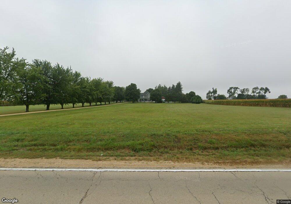
6286 N Il Route 26 Forreston, IL 61030
Estimated Value: $143,000 - $242,000
--
Bed
--
Bath
--
Sq Ft
5.88
Acres
About This Home
This home is located at 6286 N Il Route 26, Forreston, IL 61030 and is currently estimated at $202,621. 6286 N Il Route 26 is a home with nearby schools including Forreston High School.
Ownership History
Date
Name
Owned For
Owner Type
Purchase Details
Closed on
Sep 26, 2011
Sold by
Ferris Jennifer E and Stralow Jennifer E
Bought by
Ferris Charles L and Ferris Jennifer E
Current Estimated Value
Home Financials for this Owner
Home Financials are based on the most recent Mortgage that was taken out on this home.
Original Mortgage
$130,000
Interest Rate
4.22%
Mortgage Type
New Conventional
Create a Home Valuation Report for This Property
The Home Valuation Report is an in-depth analysis detailing your home's value as well as a comparison with similar homes in the area
Home Values in the Area
Average Home Value in this Area
Purchase History
| Date | Buyer | Sale Price | Title Company |
|---|---|---|---|
| Ferris Charles L | -- | None Available |
Source: Public Records
Mortgage History
| Date | Status | Borrower | Loan Amount |
|---|---|---|---|
| Closed | Ferris Charles L | $130,000 |
Source: Public Records
Tax History Compared to Growth
Tax History
| Year | Tax Paid | Tax Assessment Tax Assessment Total Assessment is a certain percentage of the fair market value that is determined by local assessors to be the total taxable value of land and additions on the property. | Land | Improvement |
|---|---|---|---|---|
| 2024 | $3,824 | $56,998 | $16,524 | $40,474 |
| 2023 | $3,525 | $53,165 | $15,413 | $37,752 |
| 2022 | $3,245 | $48,646 | $14,103 | $34,543 |
| 2021 | $3,025 | $45,252 | $13,119 | $32,133 |
| 2020 | $2,954 | $44,452 | $12,887 | $31,565 |
| 2019 | $2,870 | $42,640 | $12,362 | $30,278 |
| 2018 | $1,861 | $29,454 | $5,669 | $23,785 |
| 2017 | $2,289 | $28,255 | $5,419 | $22,836 |
| 2016 | $1,431 | $27,749 | $5,399 | $22,350 |
| 2015 | $1,308 | $27,334 | $5,381 | $21,953 |
| 2014 | $1,311 | $27,321 | $5,368 | $21,953 |
| 2013 | $1,460 | $27,621 | $5,335 | $22,286 |
Source: Public Records
Map
Nearby Homes
- 404 E Willow St
- 411 S Walnut Ave
- 406 W Balsam St
- 603 E Hewitt St
- 603 Hewitt St
- 304 Maple Ave
- 601 Hewitt St
- 701 Hewitt St
- 703 Hewitt St
- 613 & 615 Hewitt St
- 617 & 619 Hewitt St
- 609 & 611 Hewitt St
- 605 & 607 Hewitt St
- 702 Hewitt St
- 706 Hewitt St
- 3703 Main St
- 7965 N Adeline Rd
- 10225 N Brookville Rd
- 10385 N Rock City Rd
- 31457 Straw School Rd
- 12808 W Grove Rd
- 5977 N Il Route 26
- 11947 W West Grove Rd
- 12803 W Town Line Rd
- 7039 N Il Route 26
- 12744 W Town Line Rd
- 8844 Townline Rd W(5+ac
- Per Lot/// Hewitt St
- TBD 2 28 Acres
- TBD W Lanark Rd
- 12944 W Town Line Rd
- 7063 N Il Route 26
- 5502 N Il Route 26
- 11803 W West Grove Rd
- 7098 Illinois 26
- 7098 N Il Route 26
- 7160 N Il Route 26
- 107 S Prairie Ct
- 109 S Prairie Ct
- 111 S Prairie Ct