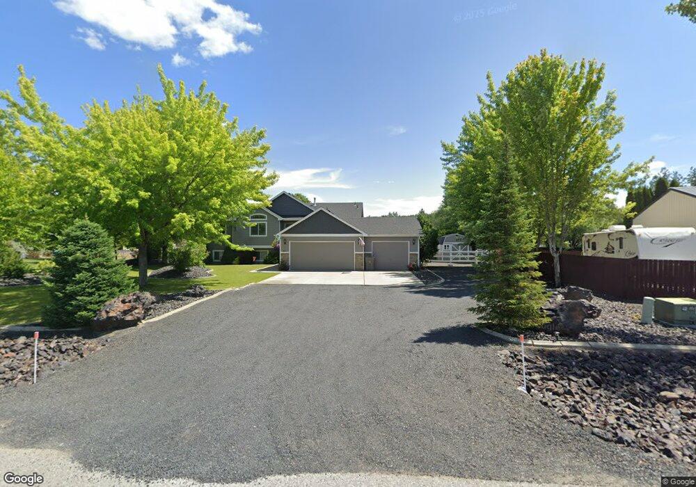
6286 Pearson Dr Nine Mile Falls, WA 99026
Estimated Value: $560,879 - $624,000
3
Beds
2
Baths
2,980
Sq Ft
$194/Sq Ft
Est. Value
About This Home
This home is located at 6286 Pearson Dr, Nine Mile Falls, WA 99026 and is currently estimated at $579,220, approximately $194 per square foot. 6286 Pearson Dr is a home located in Stevens County with nearby schools including Lakeside High School.
Ownership History
Date
Name
Owned For
Owner Type
Purchase Details
Closed on
Aug 17, 2007
Sold by
Lanzce G Douglas Inc
Bought by
Joslyn Timothy John and Joslyn Tammy L
Current Estimated Value
Home Financials for this Owner
Home Financials are based on the most recent Mortgage that was taken out on this home.
Original Mortgage
$140,000
Outstanding Balance
$89,003
Interest Rate
6.74%
Mortgage Type
New Conventional
Estimated Equity
$490,217
Purchase Details
Closed on
Feb 8, 2007
Sold by
Ivar Industries Inc
Bought by
Lanzce G Douglas Inc
Create a Home Valuation Report for This Property
The Home Valuation Report is an in-depth analysis detailing your home's value as well as a comparison with similar homes in the area
Home Values in the Area
Average Home Value in this Area
Purchase History
| Date | Buyer | Sale Price | Title Company |
|---|---|---|---|
| Joslyn Timothy John | $174,967 | Columbia Title Company | |
| Lanzce G Douglas Inc | -- | Stevens County Title Co |
Source: Public Records
Mortgage History
| Date | Status | Borrower | Loan Amount |
|---|---|---|---|
| Open | Joslyn Timothy John | $140,000 |
Source: Public Records
Tax History Compared to Growth
Tax History
| Year | Tax Paid | Tax Assessment Tax Assessment Total Assessment is a certain percentage of the fair market value that is determined by local assessors to be the total taxable value of land and additions on the property. | Land | Improvement |
|---|---|---|---|---|
| 2024 | $5,110 | $555,919 | $67,000 | $488,919 |
| 2023 | $4,898 | $552,425 | $67,000 | $485,425 |
| 2022 | $4,129 | $436,009 | $67,000 | $369,009 |
| 2021 | $2,975 | $305,311 | $37,000 | $268,311 |
| 2020 | $3,448 | $305,311 | $37,000 | $268,311 |
| 2019 | $2,995 | $292,501 | $37,000 | $255,501 |
| 2018 | $3,268 | $247,916 | $45,000 | $202,916 |
| 2017 | $3,013 | $251,946 | $45,000 | $206,946 |
| 2016 | $2,881 | $251,946 | $45,000 | $206,946 |
| 2015 | -- | $230,324 | $50,000 | $180,324 |
| 2013 | -- | $230,324 | $50,000 | $180,324 |
Source: Public Records
Map
Nearby Homes
- 6340 Jenna Ct
- 5885 Sandy Court Way
- 6263 Brennan Ct
- 6195 Khloe Ct
- 60849 Westview Dr
- 6282 W Bluebird Way
- 60829 Westview Dr
- 6265 W Bluebird Way
- XX Syringa
- 6299 Sundown Rd
- 56xx W (Lot 4W) Jergens Rd Unit For GPS use 5629 Jer
- 13228 W Sunnyvale Dr
- 16825 N Wylie Dr
- 5674B Jergens Rd
- 12719 W Greenfield Rd
- 6520 B Pine Ridge Way
- 6520 Pine Ridge Way
- 6571 Kate Dr
- 6563 Kate Dr
- 6578 Kate Dr
- 6288 Pearson Dr
- 6264 Kassie Ct
- 6272 Kassie Dr
- 6290 Pearson Dr
- 6262 Kassie Ct
- 6287 Pearson Dr
- 6315 Jenna Dr
- 6313 Jenna Dr
- 6292 Pearson Dr
- 6274 Kassie Dr
- 6260 Kassie Ct
- XXXX Kassie Dr
- 6317 Jenna Dr
- 6317 Jenna Dr
- 6337 Meadow Vista Dr
- 6309 Jenna Dr
- 6261 Kassie Ct
- 6271 Kassie Dr
- 6319 Jenna Dr
- 6279 Kassie Dr