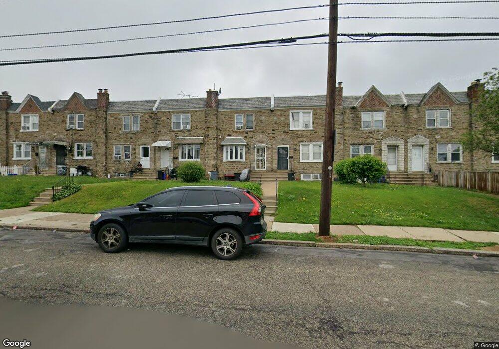
6288 Large St Philadelphia, PA 19149
Castor Gardens NeighborhoodEstimated Value: $203,000 - $280,000
3
Beds
1
Bath
1,222
Sq Ft
$191/Sq Ft
Est. Value
About This Home
This home is located at 6288 Large St, Philadelphia, PA 19149 and is currently estimated at $233,183, approximately $190 per square foot. 6288 Large St is a home located in Philadelphia County with nearby schools including Gilbert Spruance School, Northeast High School, and The Philadelphia Charter School for the Arts & Sciences.
Ownership History
Date
Name
Owned For
Owner Type
Purchase Details
Closed on
May 25, 2007
Sold by
Hamilton Penelope
Bought by
Coates Tina
Current Estimated Value
Home Financials for this Owner
Home Financials are based on the most recent Mortgage that was taken out on this home.
Original Mortgage
$160,000
Outstanding Balance
$96,847
Interest Rate
6.17%
Mortgage Type
Unknown
Estimated Equity
$136,336
Create a Home Valuation Report for This Property
The Home Valuation Report is an in-depth analysis detailing your home's value as well as a comparison with similar homes in the area
Home Values in the Area
Average Home Value in this Area
Purchase History
| Date | Buyer | Sale Price | Title Company |
|---|---|---|---|
| Coates Tina | $160,000 | None Available |
Source: Public Records
Mortgage History
| Date | Status | Borrower | Loan Amount |
|---|---|---|---|
| Open | Coates Tina | $160,000 |
Source: Public Records
Tax History Compared to Growth
Tax History
| Year | Tax Paid | Tax Assessment Tax Assessment Total Assessment is a certain percentage of the fair market value that is determined by local assessors to be the total taxable value of land and additions on the property. | Land | Improvement |
|---|---|---|---|---|
| 2026 | $2,455 | $214,700 | $42,940 | $171,760 |
| 2025 | $2,455 | $214,700 | $42,940 | $171,760 |
| 2024 | $2,455 | $214,700 | $42,940 | $171,760 |
| 2023 | $2,455 | $175,400 | $35,080 | $140,320 |
| 2022 | $1,125 | $130,400 | $35,080 | $95,320 |
| 2021 | $1,755 | $0 | $0 | $0 |
| 2020 | $1,755 | $0 | $0 | $0 |
| 2019 | $1,684 | $0 | $0 | $0 |
| 2018 | $1,674 | $0 | $0 | $0 |
| 2017 | $1,674 | $0 | $0 | $0 |
| 2016 | $1,254 | $0 | $0 | $0 |
| 2015 | $1,201 | $0 | $0 | $0 |
| 2014 | -- | $119,600 | $25,886 | $93,714 |
| 2012 | -- | $15,136 | $2,568 | $12,568 |
Source: Public Records
Map
Nearby Homes
- 1453 Mckinley St
- 1440 Robbins Ave
- 1427 Robbins Ave
- 1531 Stevens St
- 1414 Mckinley St
- 2001R Mckinley St
- 6239 Castor Ave
- 1417 Stevens St
- 1551 Lardner St
- 6135 Castor Ave
- 1507 Benner St
- 1548 Lardner St
- 6111 Castor Ave
- 1500 Hellerman St
- 1530 Hellerman St
- 1439 Higbee St
- 1438 Higbee St
- 1428 Higbee St
- 1535 Hellerman St
- 1606 Benner St
- 6290 Large St
- 6292 Large St
- 6286 Large St
- 6294 Large St
- 6284 Large St
- 6296 Large St
- 1458 Robbins Ave
- 6282 Large St
- 1456 Robbins Ave
- 6280 Large St
- 1454 Robbins Ave
- 1465 Mckinley St
- 6278 Large St
- 1463 Mckinley St
- 1452 Robbins Ave
- 6276 Large St
- 1461 Mckinley St
- 1450 Robbins Ave
- 1459 Mckinley St
- 6274 Large St