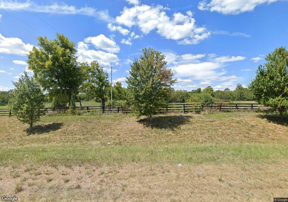
6289 Harrodsburg Rd Nicholasville, KY 40356
Estimated Value: $866,000 - $1,349,000
2
Beds
3
Baths
4,072
Sq Ft
$260/Sq Ft
Est. Value
About This Home
This home is located at 6289 Harrodsburg Rd, Nicholasville, KY 40356 and is currently estimated at $1,060,193, approximately $260 per square foot. 6289 Harrodsburg Rd is a home located in Jessamine County with nearby schools including Rosenwald Dunbar Elementary School, West Jessamine Middle School, and West Jessamine High School.
Ownership History
Date
Name
Owned For
Owner Type
Purchase Details
Closed on
Jul 15, 2021
Sold by
Stuart John D and Wise Margaret Douglas
Bought by
Perdue Tanner Scott and Talbott Emily G
Current Estimated Value
Home Financials for this Owner
Home Financials are based on the most recent Mortgage that was taken out on this home.
Original Mortgage
$548,250
Outstanding Balance
$497,907
Interest Rate
2.96%
Mortgage Type
New Conventional
Estimated Equity
$562,286
Purchase Details
Closed on
May 30, 2006
Sold by
Stuart Mildred Dent
Bought by
Stuart John D
Create a Home Valuation Report for This Property
The Home Valuation Report is an in-depth analysis detailing your home's value as well as a comparison with similar homes in the area
Home Values in the Area
Average Home Value in this Area
Purchase History
| Date | Buyer | Sale Price | Title Company |
|---|---|---|---|
| Perdue Tanner Scott | $749,000 | None Available | |
| Stuart John D | -- | -- |
Source: Public Records
Mortgage History
| Date | Status | Borrower | Loan Amount |
|---|---|---|---|
| Open | Perdue Tanner Scott | $548,250 |
Source: Public Records
Tax History Compared to Growth
Tax History
| Year | Tax Paid | Tax Assessment Tax Assessment Total Assessment is a certain percentage of the fair market value that is determined by local assessors to be the total taxable value of land and additions on the property. | Land | Improvement |
|---|---|---|---|---|
| 2024 | $8,628 | $749,000 | $100,000 | $649,000 |
| 2023 | $8,374 | $749,000 | $100,000 | $649,000 |
| 2022 | $8,387 | $749,000 | $100,000 | $649,000 |
| 2021 | $3,596 | $320,000 | $100,000 | $220,000 |
| 2020 | $3,599 | $320,000 | $80,000 | $240,000 |
| 2019 | $3,557 | $320,000 | $80,000 | $240,000 |
| 2018 | $3,555 | $320,000 | $80,000 | $240,000 |
| 2017 | $3,392 | $320,000 | $80,000 | $240,000 |
| 2016 | $3,392 | $320,000 | $80,000 | $240,000 |
| 2015 | $3,392 | $320,000 | $80,000 | $240,000 |
| 2014 | $3,338 | $320,000 | $80,000 | $240,000 |
Source: Public Records
Map
Nearby Homes
- 129 Kensington Place Unit Lot 8
- 116 Kensington Place
- 210 Eagle Dr
- 110 Golf Club Dr
- 117 Sagart Ln
- 210 Keene Manor Cir
- 1465 Keene Rd
- 3555 Keene Rd
- 104 Maxwell Ave
- 101 Maxwell Ave
- 106 Cambridge Ln
- 202 Brannon Rd
- 113 Paddock Dr
- 202 the Backstretch
- 105 Homestretch Cir
- 105 Tattersalls Dr
- 100 Lafontaine Ct
- 200 Windom Ln
- 109 Hillock Ct
- 113 Lafontaine Ct Unit 2
- 6287 Barbaro Ln
- 6195 Harrodsburg Rd
- 6171 Harrodsburg Rd
- 6165 Harrodsburg Rd
- 6161 Harrodsburg Rd
- 6157 Harrodsburg Rd
- 6155 Harrodsburg Rd
- 205 Parks Ln
- 2095 Mathews Ln
- 597 Barbaro Ln
- 2007 Mathews Ln
- 2017 Mathews Ln
- 316 Eagle Dr
- 315 Eagle Dr
- 314 Eagle Dr
- 6061 Harrodsburg Rd
- 2001 Mathews Ln
- 1182 Catnip Hill Rd
- 108 Kensington Place Unit Lot 17 Proposed
- 116 Kensington Place Unit Lot 5
