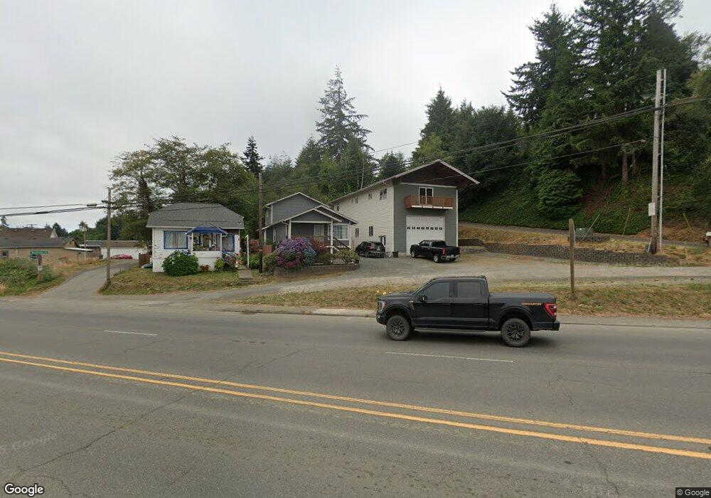
62896 Highway 101 Coos Bay, OR 97420
Estimated Value: $231,000 - $336,106
--
Bed
2
Baths
1,674
Sq Ft
$169/Sq Ft
Est. Value
About This Home
This home is located at 62896 Highway 101, Coos Bay, OR 97420 and is currently estimated at $283,553, approximately $169 per square foot. 62896 Highway 101 is a home located in Coos County with nearby schools including Eastside School, Millicoma School, and Marshfield Senior High School.
Ownership History
Date
Name
Owned For
Owner Type
Purchase Details
Closed on
Aug 10, 2018
Sold by
Silva Weylin and Silva Angela
Bought by
Foord Ronald L and Foord Molly A
Current Estimated Value
Purchase Details
Closed on
Aug 17, 2006
Sold by
Dodge Elisabeth
Bought by
Silva Weylin and Silva Angela
Home Financials for this Owner
Home Financials are based on the most recent Mortgage that was taken out on this home.
Original Mortgage
$87,875
Interest Rate
6.76%
Mortgage Type
Unknown
Purchase Details
Closed on
Apr 14, 2005
Sold by
Pacific Continental Bank
Bought by
Pcb Loan Services Corp
Purchase Details
Closed on
Mar 1, 2005
Sold by
Prochaska Laura L and Brown Julie M
Bought by
Pacific Continental Bank and Pacific Continental Finance
Create a Home Valuation Report for This Property
The Home Valuation Report is an in-depth analysis detailing your home's value as well as a comparison with similar homes in the area
Home Values in the Area
Average Home Value in this Area
Purchase History
| Date | Buyer | Sale Price | Title Company |
|---|---|---|---|
| Foord Ronald L | $130,000 | Ticor Title Co | |
| Silva Weylin | $92,500 | First American Title | |
| Pcb Loan Services Corp | -- | -- | |
| Pacific Continental Bank | $28,411 | Fidelity National Title Co |
Source: Public Records
Mortgage History
| Date | Status | Borrower | Loan Amount |
|---|---|---|---|
| Previous Owner | Silva Weylin | $87,875 |
Source: Public Records
Tax History Compared to Growth
Tax History
| Year | Tax Paid | Tax Assessment Tax Assessment Total Assessment is a certain percentage of the fair market value that is determined by local assessors to be the total taxable value of land and additions on the property. | Land | Improvement |
|---|---|---|---|---|
| 2024 | $1,591 | $106,250 | -- | -- |
| 2023 | $1,545 | $103,160 | $0 | $0 |
| 2022 | $548 | $33,070 | $0 | $0 |
| 2021 | $469 | $32,110 | $0 | $0 |
| 2020 | $457 | $32,110 | $0 | $0 |
| 2019 | $438 | $30,280 | $0 | $0 |
| 2018 | $786 | $29,400 | $0 | $0 |
| 2017 | $725 | $28,550 | $0 | $0 |
| 2016 | $350 | $27,720 | $0 | $0 |
| 2015 | $331 | $26,920 | $0 | $0 |
| 2014 | $331 | $26,390 | $0 | $0 |
Source: Public Records
Map
Nearby Homes
- 63755 Flanagan Rd
- 63642 Flanagan Rd
- 63757 Harriet Rd
- 63491 2nd Street Loop
- 63505 2nd Street Loop
- 93711 Bay Park Ln
- 0 Flanagan Rd
- 63533 Flanagan Rd
- 93778 Bay Park Ln
- 0 Andrews Rd Unit 1 633770545
- 0 Andrews Rd
- 63606 Andrews Rd
- 63474 3rd Rd
- 780 H St
- 532 Limnell St
- 93746 Lorain Ln
- 460 2nd Ave
- 0 Miriam Unit 740433342
- 1032 S 4th St
- 0 Shon-Sta Way
- 62896 Highway 101
- 62896 Highway 101
- 62896 U S 101
- 62894 Highway 101
- 62892 Highway 101
- 63682 Woodstock Rd
- 63687 Brookwood Rd
- 0 Woodstock Rd
- 63679 Brookwood Rd
- 63687 Woodstock Rd
- 62905 U S 101
- 63669 Brookwood Rd
- 62860 Highway 101
- 63703 Edwards Rd
- 63679 Clear View Dr
- 63681 Clear View Dr
- 63671 Clear View Dr
- 63663 Clear View Dr
- 63713 Edwards Rd
- 63653 Brookwood Rd