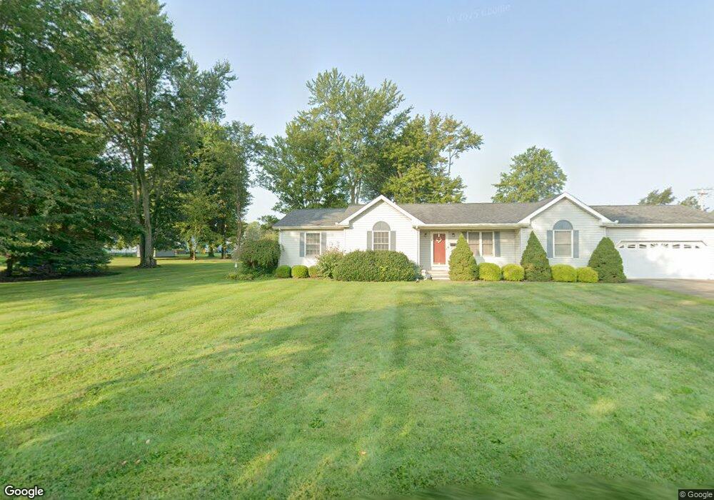
629 Baltic St Conneaut, OH 44030
Estimated Value: $56,000 - $245,000
Studio
--
Bath
--
Sq Ft
7,405
Sq Ft Lot
About This Home
This home is located at 629 Baltic St, Conneaut, OH 44030 and is currently estimated at $132,667. 629 Baltic St is a home located in Ashtabula County with nearby schools including Lakeshore Primary Elementary School, Gateway Elementary School, and Conneaut Middle School.
Ownership History
Date
Name
Owned For
Owner Type
Purchase Details
Closed on
Jan 22, 2016
Sold by
Ledford Scott and Ledford Tammy
Bought by
Heglund Stephen and Heglund Linda L
Current Estimated Value
Home Financials for this Owner
Home Financials are based on the most recent Mortgage that was taken out on this home.
Original Mortgage
$136,482
Interest Rate
3.79%
Mortgage Type
FHA
Purchase Details
Closed on
May 1, 1996
Sold by
Wellman John
Bought by
Ledford Scott and Ledford Tammy
Home Financials for this Owner
Home Financials are based on the most recent Mortgage that was taken out on this home.
Original Mortgage
$112,500
Interest Rate
7.86%
Mortgage Type
New Conventional
Create a Home Valuation Report for This Property
The Home Valuation Report is an in-depth analysis detailing your home's value as well as a comparison with similar homes in the area
Home Values in the Area
Average Home Value in this Area
Purchase History
| Date | Buyer | Sale Price | Title Company |
|---|---|---|---|
| Heglund Stephen | $139,000 | Chicago Title | |
| Ledford Scott | $125,000 | -- |
Source: Public Records
Mortgage History
| Date | Status | Borrower | Loan Amount |
|---|---|---|---|
| Previous Owner | Heglund Stephen | $136,482 | |
| Previous Owner | Ledford Scott | $112,500 |
Source: Public Records
Tax History
| Year | Tax Paid | Tax Assessment Tax Assessment Total Assessment is a certain percentage of the fair market value that is determined by local assessors to be the total taxable value of land and additions on the property. | Land | Improvement |
|---|---|---|---|---|
| 2024 | $164 | $2,240 | $2,240 | -- |
| 2023 | $105 | $2,240 | $2,240 | $0 |
| 2022 | $93 | $1,750 | $1,750 | $0 |
| 2021 | $95 | $1,750 | $1,750 | $0 |
| 2020 | $95 | $1,750 | $1,750 | $0 |
| 2019 | $132 | $2,380 | $2,380 | $0 |
| 2018 | $126 | $2,380 | $2,380 | $0 |
| 2017 | $119 | $2,380 | $2,380 | $0 |
| 2016 | $111 | $2,280 | $2,280 | $0 |
| 2015 | $112 | $2,280 | $2,280 | $0 |
| 2014 | $99 | $2,280 | $2,280 | $0 |
| 2013 | $90 | $2,140 | $2,140 | $0 |
Source: Public Records
Map
Nearby Homes