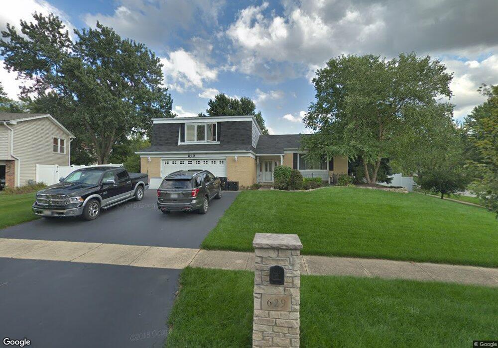
629 Cambridge Way Bolingbrook, IL 60440
West 83rd NeighborhoodEstimated Value: $342,000 - $470,000
Studio
1
Bath
2,183
Sq Ft
$189/Sq Ft
Est. Value
About This Home
This home is located at 629 Cambridge Way, Bolingbrook, IL 60440 and is currently estimated at $411,943, approximately $188 per square foot. 629 Cambridge Way is a home located in DuPage County with nearby schools including William F. Murphy Elementary School, Thomas Jefferson Junior High School, and Downers Grove South High School.
Ownership History
Date
Name
Owned For
Owner Type
Purchase Details
Closed on
May 15, 1998
Sold by
Lotarski David A and Lotarski Terri L
Bought by
Foy George F and Foy Karen A
Current Estimated Value
Home Financials for this Owner
Home Financials are based on the most recent Mortgage that was taken out on this home.
Original Mortgage
$159,000
Outstanding Balance
$31,528
Interest Rate
7.27%
Mortgage Type
VA
Estimated Equity
$380,415
Create a Home Valuation Report for This Property
The Home Valuation Report is an in-depth analysis detailing your home's value as well as a comparison with similar homes in the area
Home Values in the Area
Average Home Value in this Area
Purchase History
| Date | Buyer | Sale Price | Title Company |
|---|---|---|---|
| Foy George F | $159,000 | First American Title |
Source: Public Records
Mortgage History
| Date | Status | Borrower | Loan Amount |
|---|---|---|---|
| Open | Foy George F | $159,000 |
Source: Public Records
Tax History
| Year | Tax Paid | Tax Assessment Tax Assessment Total Assessment is a certain percentage of the fair market value that is determined by local assessors to be the total taxable value of land and additions on the property. | Land | Improvement |
|---|---|---|---|---|
| 2024 | -- | $122,138 | $56,155 | $65,983 |
| 2023 | -- | $111,470 | $51,250 | $60,220 |
| 2022 | $0 | $101,340 | $46,590 | $54,750 |
| 2021 | $3,165 | $97,510 | $44,830 | $52,680 |
| 2020 | $0 | $95,750 | $44,020 | $51,730 |
| 2019 | $3,165 | $91,610 | $42,120 | $49,490 |
| 2018 | $0 | $85,980 | $39,530 | $46,450 |
| 2017 | $7,079 | $83,080 | $38,200 | $44,880 |
| 2016 | $7,079 | $80,080 | $36,820 | $43,260 |
| 2015 | $7,079 | $76,990 | $35,400 | $41,590 |
| 2014 | $7,079 | $81,040 | $37,260 | $43,780 |
| 2013 | $6,944 | $81,230 | $37,350 | $43,880 |
Source: Public Records
Map
Nearby Homes
- 668 Londonberry Ln
- 3599 Kennedy Ln Unit 14001
- 704 N Pinecrest Rd
- 8336 Mending Wall Dr
- 1078 Rain Tree Dr
- 2220 Wharf Dr Unit 1901
- 2229 Wharf Dr Unit 1108
- 519 Charlestown Dr
- 2505 Spring St Unit 3304
- 333 Grosvenor Ct
- 8505 Woodward Ave Unit 201
- 8484 Liberty Ln
- 8528 Chadwick Ct
- 8540 Chadwick Ct
- 8544 Chadwick Ct
- 1886 Fulton St
- 8146 Hampton Dr
- 1882 Fulton St
- 1878 Fulton St
- 8537 Chadwick Ct
- 633 Cambridge Way
- 642 Kensington Way
- 646 Kensington Way
- 637 Cambridge Way
- 597 Cambridge Way
- 640 Londonberry Ln
- 636 Londonberry Ln
- 598 Buckingham Way
- 632 Cambridge Way
- 644 Londonberry Ln
- 641 Cambridge Way
- 594 Cambridge Way
- 632 Londonberry Ln
- 650 Kensington Way
- 593 Cambridge Way
- 636 Cambridge Way Unit 6
- 27 Pin Oak Ct
- Lot 28 Leander Ct
- 0 Rt 53 Unit 10040379
- 6-4 Irving Place
Your Personal Tour Guide
Ask me questions while you tour the home.