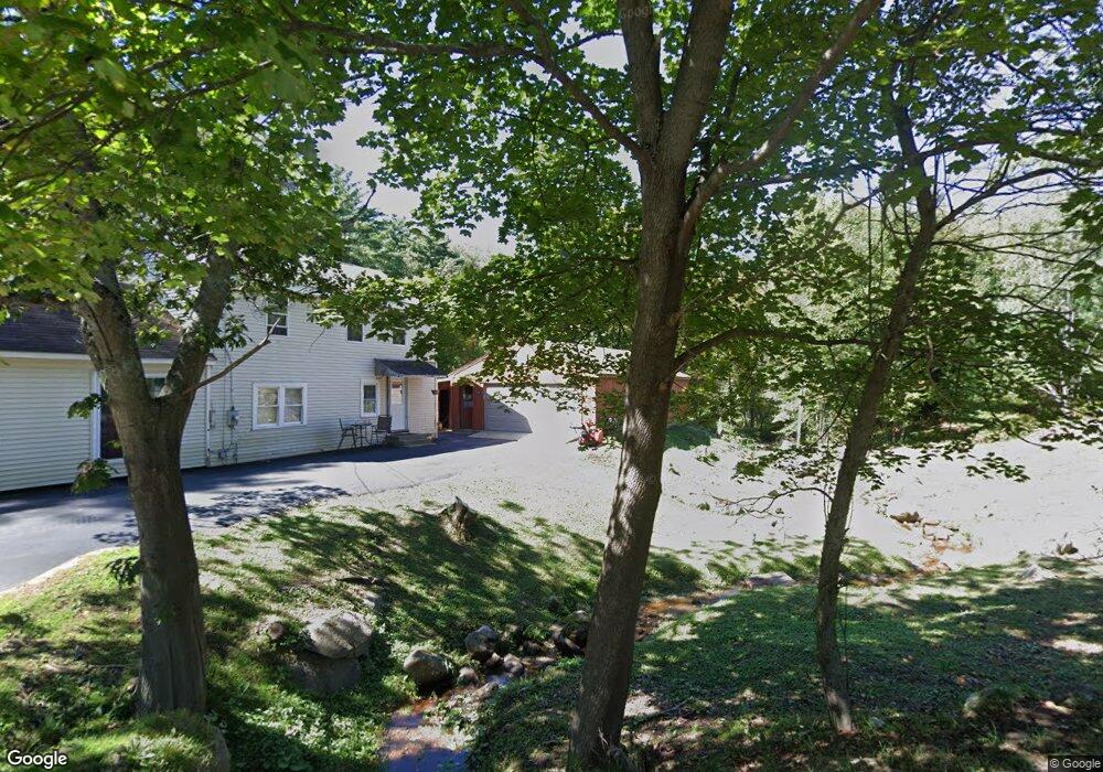
629 Daniels Rd North Adams, MA 01247
Estimated Value: $220,000 - $252,000
4
Beds
1
Bath
1,440
Sq Ft
$168/Sq Ft
Est. Value
About This Home
This home is located at 629 Daniels Rd, North Adams, MA 01247 and is currently estimated at $241,341, approximately $167 per square foot. 629 Daniels Rd is a home located in Berkshire County with nearby schools including Colegrove Park Elementary School and Drury High School.
Ownership History
Date
Name
Owned For
Owner Type
Purchase Details
Closed on
Dec 18, 1996
Sold by
Fachini Joseph C and Fachini Carol A
Bought by
Jones Irene L
Current Estimated Value
Home Financials for this Owner
Home Financials are based on the most recent Mortgage that was taken out on this home.
Original Mortgage
$70,648
Interest Rate
7.62%
Mortgage Type
Purchase Money Mortgage
Create a Home Valuation Report for This Property
The Home Valuation Report is an in-depth analysis detailing your home's value as well as a comparison with similar homes in the area
Home Values in the Area
Average Home Value in this Area
Purchase History
| Date | Buyer | Sale Price | Title Company |
|---|---|---|---|
| Jones Irene L | $71,000 | -- |
Source: Public Records
Mortgage History
| Date | Status | Borrower | Loan Amount |
|---|---|---|---|
| Open | Jones Irene L | $84,500 | |
| Closed | Jones Irene L | $73,600 | |
| Closed | Jones Irene L | $70,648 | |
| Previous Owner | Jones Irene L | $60,000 |
Source: Public Records
Tax History Compared to Growth
Tax History
| Year | Tax Paid | Tax Assessment Tax Assessment Total Assessment is a certain percentage of the fair market value that is determined by local assessors to be the total taxable value of land and additions on the property. | Land | Improvement |
|---|---|---|---|---|
| 2025 | $2,655 | $158,900 | $52,500 | $106,400 |
| 2024 | $2,494 | $145,500 | $48,100 | $97,400 |
| 2023 | $2,444 | $138,300 | $48,100 | $90,200 |
| 2022 | $2,285 | $123,300 | $48,100 | $75,200 |
| 2021 | $2,122 | $114,000 | $44,500 | $69,500 |
| 2020 | $2,052 | $110,200 | $44,200 | $66,000 |
| 2019 | $1,942 | $101,600 | $40,800 | $60,800 |
| 2018 | $1,888 | $102,700 | $42,900 | $59,800 |
| 2017 | $1,799 | $101,800 | $42,500 | $59,300 |
| 2016 | $1,749 | $100,600 | $42,500 | $58,100 |
| 2015 | $1,711 | $102,500 | $42,500 | $60,000 |
Source: Public Records
Map
Nearby Homes
- 0 Daniels Rd
- 0 Beaver St
- 0 Cross Rd
- 2438 Mohawk Trail
- 0 River Rd Unit 245240
- 0 Oak Hill Unit 237953
- 23-27 Gallup St
- 39 Fieldwood Dr
- 306 Union St
- 50 Gallup St
- 921 Mohawk Trail
- 350 Mohawk Trail
- 100 Autumn Dr
- 360 Mohawk Trail
- 00 Mohawk Trail
- 471 Middle Rd
- 54 Pine Hill Terrace
- 129-133 Franklin St
- 54 Marietta St
- 70 Mohawk Trail