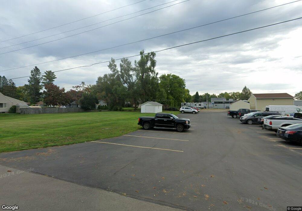
629 Denecourt Ave Jackson, MI 49202
Estimated Value: $260,000 - $279,000
2
Beds
1
Bath
560
Sq Ft
$481/Sq Ft
Est. Value
About This Home
This home is located at 629 Denecourt Ave, Jackson, MI 49202 and is currently estimated at $269,500, approximately $481 per square foot. 629 Denecourt Ave is a home located in Jackson County with nearby schools including Hunt Elementary School, Middle School at Parkside, and Jackson High School.
Ownership History
Date
Name
Owned For
Owner Type
Purchase Details
Closed on
Oct 9, 2014
Sold by
Mullins Timothy and Mullins Leina
Bought by
Bts Real Estate Llc
Current Estimated Value
Purchase Details
Closed on
Sep 25, 2014
Sold by
Johnson Merlyn E and Dockery Jill
Bought by
Mullins Timothy
Purchase Details
Closed on
Feb 10, 2014
Sold by
Johnson Merlyn E and Johnson Norma I
Bought by
Johnson Merlyn E
Create a Home Valuation Report for This Property
The Home Valuation Report is an in-depth analysis detailing your home's value as well as a comparison with similar homes in the area
Home Values in the Area
Average Home Value in this Area
Purchase History
| Date | Buyer | Sale Price | Title Company |
|---|---|---|---|
| Bts Real Estate Llc | $24,000 | Midstate Title Agency Of Sou | |
| Mullins Timothy | $10,000 | Midstate Title Agency Of Sou | |
| Johnson Merlyn E | -- | None Available |
Source: Public Records
Tax History
| Year | Tax Paid | Tax Assessment Tax Assessment Total Assessment is a certain percentage of the fair market value that is determined by local assessors to be the total taxable value of land and additions on the property. | Land | Improvement |
|---|---|---|---|---|
| 2025 | $362 | $5,700 | $0 | $0 |
| 2024 | $3 | $6,050 | $0 | $0 |
| 2023 | $267 | $6,400 | $0 | $0 |
| 2022 | $412 | $7,100 | $0 | $0 |
| 2021 | $416 | $7,100 | $0 | $0 |
| 2020 | $415 | $7,100 | $0 | $0 |
| 2019 | $412 | $7,100 | $0 | $0 |
| 2018 | $395 | $7,100 | $0 | $0 |
| 2017 | $375 | $7,300 | $0 | $0 |
| 2016 | $284 | $7,328 | $7,328 | $0 |
| 2015 | $970 | $7,328 | $7,328 | $0 |
| 2014 | $970 | $21,446 | $21,446 | $0 |
| 2013 | -- | $21,446 | $21,446 | $0 |
Source: Public Records
Map
Nearby Homes
- 802 Concord Blvd
- 2318 Westminster Blvd
- 534 Barrett Ave
- VL Laurence Ave
- 0 VL Laurence Ave
- 870 Bryant Ave
- 406 Fern Ave
- 0 Laurence Ave Unit 25062864
- 1050 Maynard Ave
- 0 N Brown St
- 923 Wayne St
- 1802 W Argyle St
- 1149 Maynard Ave
- 406 21st St
- 1604 W Washington Ave
- 1512 W Washington Ave
- 108 N Thompson St
- 242 Kenneth St
- 109 N Thompson St
- 0 Evelyn St
- 608 Maynard Ave
- 612 Maynard Ave
- 707 Denecourt Ave
- 620 Denecourt Ave
- 704 Denecourt Ave
- 711 Denecourt Ave
- 700 Maynard Ave
- 706 Denecourt Ave
- 712 Denecourt Ave
- 705 Concord Blvd
- 619 Concord Blvd
- 709 Concord Blvd
- 719 Concord Blvd
- 791 Denecourt Ave
- 2317 Oxford Blvd
- 720 Maynard Ave
- 721 Concord Blvd
- 2522 Wildwood Ave
- 2505 Loraine St
- 2501 Loraine St
