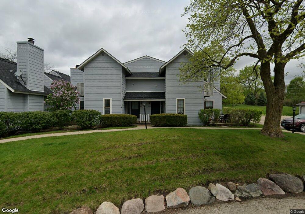
629 Dunham Rd Unit U341 Gurnee, IL 60031
Estimated Value: $170,000 - $197,000
1
Bed
2
Baths
956
Sq Ft
$192/Sq Ft
Est. Value
About This Home
This home is located at 629 Dunham Rd Unit U341, Gurnee, IL 60031 and is currently estimated at $183,934, approximately $192 per square foot. 629 Dunham Rd Unit U341 is a home located in Lake County with nearby schools including Woodland Primary School, Woodland Elementary School, and Woodland Intermediate School.
Ownership History
Date
Name
Owned For
Owner Type
Purchase Details
Closed on
Apr 19, 2006
Sold by
Ho Barbolla Yvonne C and Ho Fung Yvonne C
Bought by
Brown Kathryn M
Current Estimated Value
Home Financials for this Owner
Home Financials are based on the most recent Mortgage that was taken out on this home.
Original Mortgage
$125,530
Outstanding Balance
$72,636
Interest Rate
6.48%
Mortgage Type
FHA
Estimated Equity
$111,298
Create a Home Valuation Report for This Property
The Home Valuation Report is an in-depth analysis detailing your home's value as well as a comparison with similar homes in the area
Home Values in the Area
Average Home Value in this Area
Purchase History
| Date | Buyer | Sale Price | Title Company |
|---|---|---|---|
| Brown Kathryn M | $127,500 | None Available |
Source: Public Records
Mortgage History
| Date | Status | Borrower | Loan Amount |
|---|---|---|---|
| Open | Brown Kathryn M | $125,530 |
Source: Public Records
Tax History Compared to Growth
Tax History
| Year | Tax Paid | Tax Assessment Tax Assessment Total Assessment is a certain percentage of the fair market value that is determined by local assessors to be the total taxable value of land and additions on the property. | Land | Improvement |
|---|---|---|---|---|
| 2024 | $3,022 | $41,735 | $8,185 | $33,550 |
| 2023 | $2,696 | $38,747 | $7,599 | $31,148 |
| 2022 | $2,696 | $33,654 | $5,929 | $27,725 |
| 2021 | $2,252 | $30,475 | $5,369 | $25,106 |
| 2020 | $2,169 | $29,726 | $5,237 | $24,489 |
| 2019 | $2,100 | $28,863 | $5,085 | $23,778 |
| 2018 | $1,176 | $19,074 | $2,240 | $16,834 |
| 2017 | $1,156 | $18,528 | $2,176 | $16,352 |
| 2016 | $1,125 | $17,703 | $2,079 | $15,624 |
| 2015 | $1,069 | $16,790 | $1,972 | $14,818 |
| 2014 | $1,166 | $17,810 | $1,945 | $15,865 |
| 2012 | $2,498 | $17,947 | $1,960 | $15,987 |
Source: Public Records
Map
Nearby Homes
- 651 White Ct
- 638 Dordan Ct
- 690 Chandler Rd Unit 207
- 690 Chandler Rd Unit 305
- 741 Colby Ct Unit U42
- 711 Creekside Cir Unit 103
- 600 Creekside Cir Unit 85
- 776 Chandler Rd
- 640 Wilbur Ct
- 6121 Brookstone Place
- 6161 Oakmont Ln
- 917 Vose Dr Unit 304
- 6141 Crossland Blvd
- 6191 Oakmont Ln
- 920 Vose Dr Unit 304
- 920 Vose Dr Unit 106
- 920 Vose Dr Unit 105
- 914 Vose Dr
- 6296 Doral Dr
- 6359 Doral Dr
- 628 Dunham Rd Unit U343
- 627 Dunham Rd Unit U342
- 626 Dunham Rd Unit U344
- 624 Dunham Rd Unit U339
- 622 Dunham Rd Unit U340
- 623 Dunham Rd
- 620 Dunham Rd Unit U329
- 618 Dunham Rd Unit U330
- 621 Dunham Rd Unit U336
- 609 Dunham Rd
- 616 Dunham Rd Unit U325
- 607 Dunham Rd Unit U328
- 619 Dunham Rd Unit U335
- 614 Dunham Rd Unit U326
- 605 Dunham Rd
- 617 Dunham Rd Unit U334
- 603 Dunham Rd Unit U324
- 629 Dixon Ct
- 631 Dixon Ct
- 611 Dunham Rd Unit U331