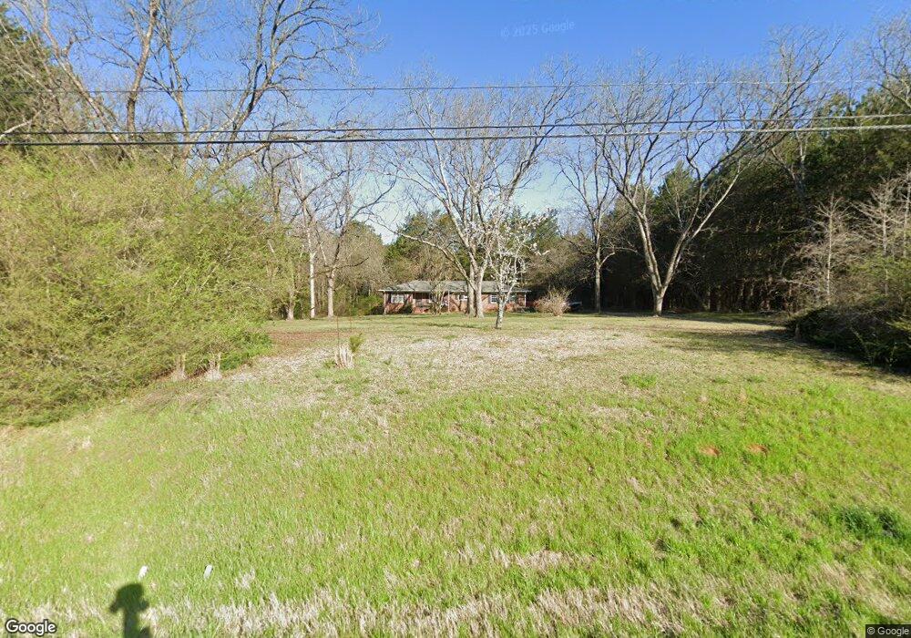
629 Highway 78 NW Monroe, GA 30655
Estimated Value: $312,000 - $346,000
--
Bed
1
Bath
1,657
Sq Ft
$202/Sq Ft
Est. Value
About This Home
This home is located at 629 Highway 78 NW, Monroe, GA 30655 and is currently estimated at $334,279, approximately $201 per square foot. 629 Highway 78 NW is a home located in Walton County with nearby schools including Monroe Elementary School, Carver Middle School, and Monroe Area High School.
Ownership History
Date
Name
Owned For
Owner Type
Purchase Details
Closed on
Oct 4, 2004
Sold by
Eufala Corp
Bought by
Wasileski Jeremy M and Wasileski Darin
Current Estimated Value
Home Financials for this Owner
Home Financials are based on the most recent Mortgage that was taken out on this home.
Original Mortgage
$1,035,000
Interest Rate
5.71%
Mortgage Type
New Conventional
Purchase Details
Closed on
Sep 1, 1995
Sold by
Dillard Jc and Chick Martha
Bought by
Poss Donald
Create a Home Valuation Report for This Property
The Home Valuation Report is an in-depth analysis detailing your home's value as well as a comparison with similar homes in the area
Home Values in the Area
Average Home Value in this Area
Purchase History
| Date | Buyer | Sale Price | Title Company |
|---|---|---|---|
| Wasileski Jeremy M | $1,160,700 | -- | |
| Poss Donald | $84,500 | -- |
Source: Public Records
Mortgage History
| Date | Status | Borrower | Loan Amount |
|---|---|---|---|
| Closed | Wasileski Jeremy M | $1,035,000 |
Source: Public Records
Tax History Compared to Growth
Tax History
| Year | Tax Paid | Tax Assessment Tax Assessment Total Assessment is a certain percentage of the fair market value that is determined by local assessors to be the total taxable value of land and additions on the property. | Land | Improvement |
|---|---|---|---|---|
| 2024 | $3,278 | $111,200 | $28,000 | $83,200 |
| 2023 | $3,029 | $99,880 | $22,000 | $77,880 |
| 2022 | $1,903 | $60,200 | $19,200 | $41,000 |
| 2021 | $1,526 | $46,840 | $13,600 | $33,240 |
| 2020 | $1,474 | $44,120 | $11,200 | $32,920 |
| 2019 | $1,385 | $40,080 | $9,600 | $30,480 |
| 2018 | $1,340 | $40,080 | $9,600 | $30,480 |
| 2017 | $1,351 | $39,200 | $9,600 | $29,600 |
| 2016 | $1,122 | $33,040 | $7,160 | $25,880 |
| 2015 | $1,097 | $31,800 | $7,160 | $24,640 |
| 2014 | $1,005 | $28,400 | $0 | $0 |
Source: Public Records
Map
Nearby Homes
- 3279 Tommy Dillard Rd
- 782 Michael Rd
- 1412 Palmer Dr
- 885 Cattle Barn Rd
- 1186 Emmas Path
- 2033 Seclusion Trail
- 2032 Seclusion Trail
- 1537 Lakeland Dr
- 1580 Lakeland Dr
- 1370 Michael Rd
- 430 Laura Dr
- 440 Mount Vernon Rd NW
- 2500 Old Athens Hwy
- 1650 & 1620 Locklin Cemetery Rd
- 1650 Locklin Cemetery Rd
- 424 Springtime Way
- 270 Springtime Way
- 1299 McLeod Estates Dr
- 3351 Tommy Dillard Rd
- 602 Highway 78 Unit U
- 3379 Tommy Dillard Rd
- 3379 Tommy Dillard Rd
- 679 Highway 78 NW Unit U
- 591 Highway 78 NW
- 598 Highway 78
- 683 Highway 78
- 587 Highway 78 NW
- 3280 Tommy Dillard Rd
- 1401 Palmer Dr Unit 1
- 1401 Palmer Dr
- 1401 Palmer Dr
- 3205 Tommy Dillard Rd
- 689 Highway 78 NW
- 1405 Palmer Dr Unit 2
- 1405 Palmer Dr
- 1400 Palmer Dr
- 781 Highway 78 NW Unit U
- 0 Michael Rd NW Unit 7580803