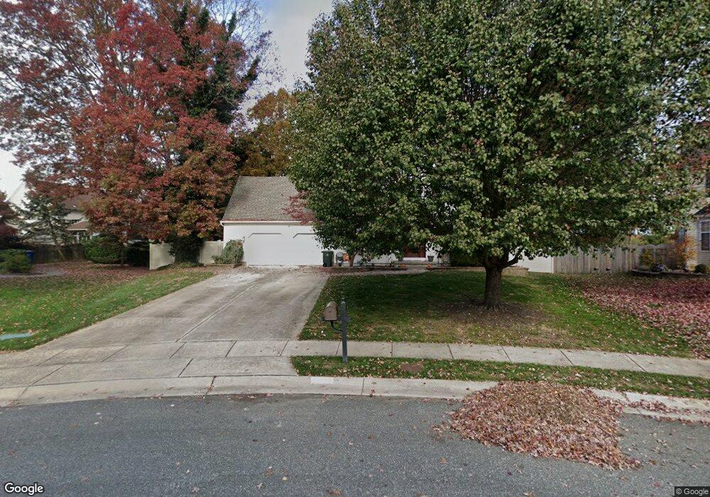
629 Josie Ct Williamstown, NJ 08094
Estimated Value: $430,000 - $515,000
--
Bed
--
Bath
1,852
Sq Ft
$256/Sq Ft
Est. Value
About This Home
This home is located at 629 Josie Ct, Williamstown, NJ 08094 and is currently estimated at $473,618, approximately $255 per square foot. 629 Josie Ct is a home located in Gloucester County with nearby schools including Williamstown High School, St. Mary School, and Finest of the Wheat Christian.
Ownership History
Date
Name
Owned For
Owner Type
Purchase Details
Closed on
Oct 8, 1999
Sold by
Kimberly Builders Llc
Bought by
Elefante Michael P and Dantonio Beth A
Current Estimated Value
Home Financials for this Owner
Home Financials are based on the most recent Mortgage that was taken out on this home.
Original Mortgage
$137,450
Outstanding Balance
$40,687
Interest Rate
7.8%
Mortgage Type
Purchase Money Mortgage
Estimated Equity
$432,931
Create a Home Valuation Report for This Property
The Home Valuation Report is an in-depth analysis detailing your home's value as well as a comparison with similar homes in the area
Home Values in the Area
Average Home Value in this Area
Purchase History
| Date | Buyer | Sale Price | Title Company |
|---|---|---|---|
| Elefante Michael P | $144,750 | First American Title Ins Co |
Source: Public Records
Mortgage History
| Date | Status | Borrower | Loan Amount |
|---|---|---|---|
| Open | Elefante Michael P | $137,450 |
Source: Public Records
Tax History Compared to Growth
Tax History
| Year | Tax Paid | Tax Assessment Tax Assessment Total Assessment is a certain percentage of the fair market value that is determined by local assessors to be the total taxable value of land and additions on the property. | Land | Improvement |
|---|---|---|---|---|
| 2025 | $8,906 | $243,200 | $62,600 | $180,600 |
| 2024 | $8,840 | $243,200 | $62,600 | $180,600 |
| 2023 | $8,840 | $243,200 | $62,600 | $180,600 |
| 2022 | $8,799 | $243,200 | $62,600 | $180,600 |
| 2021 | $8,792 | $243,200 | $62,600 | $180,600 |
| 2020 | $8,845 | $243,200 | $62,600 | $180,600 |
| 2019 | $8,792 | $243,200 | $62,600 | $180,600 |
| 2018 | $8,648 | $243,200 | $62,600 | $180,600 |
| 2017 | $7,328 | $206,900 | $67,100 | $139,800 |
| 2016 | $7,235 | $206,900 | $67,100 | $139,800 |
| 2015 | $7,028 | $206,900 | $67,100 | $139,800 |
| 2014 | $6,824 | $206,900 | $67,100 | $139,800 |
Source: Public Records
Map
Nearby Homes
- 1700 Winslow Rd
- 746 E Malaga Rd
- 638 Mills Ln
- 1753 Winslow Rd
- 240 Buckhorn Dr
- 1412 Johanna Ct
- 1430 Corkery Ln
- 1304 Morgan Rd
- 213 Spring Beauty Dr
- 1742 Corkery Ln
- 1430 Cranleigh Ln
- 1051 Bradford Dr
- 0 Winslow Rd Unit NJGL2064158
- 0 Black Horse Pike Unit NJGL2064300
- 0 Black Horse Pike Unit NJGL2064170
- Allegheny Plan at Acorn Lane
- Columbia Plan at Acorn Lane
- Hudson Plan at Acorn Lane
- 112 Hemlock Dr
- 248 Karen Dr
- 631 Josie Ct
- 1532 Patricia Ct
- 625 Josie Ct
- 1534 Patricia Ct
- 636 Josie Ct
- 1528 Patricia Ct
- 621 Josie Ct
- 632 Josie Ct
- 1524 Patricia Ct
- 1531 Patricia Ct
- 617 Josie Ct
- 1619 Winslow Rd
- 628 Josie Ct
- 624 Josie Ct
- 1527 Patricia Ct
- 1520 Patricia Ct
- 613 Josie Ct
- 1513 Patricia Ct
- 1523 Patricia Ct
- 0 E Malaga Rd Unit NJGL2055098