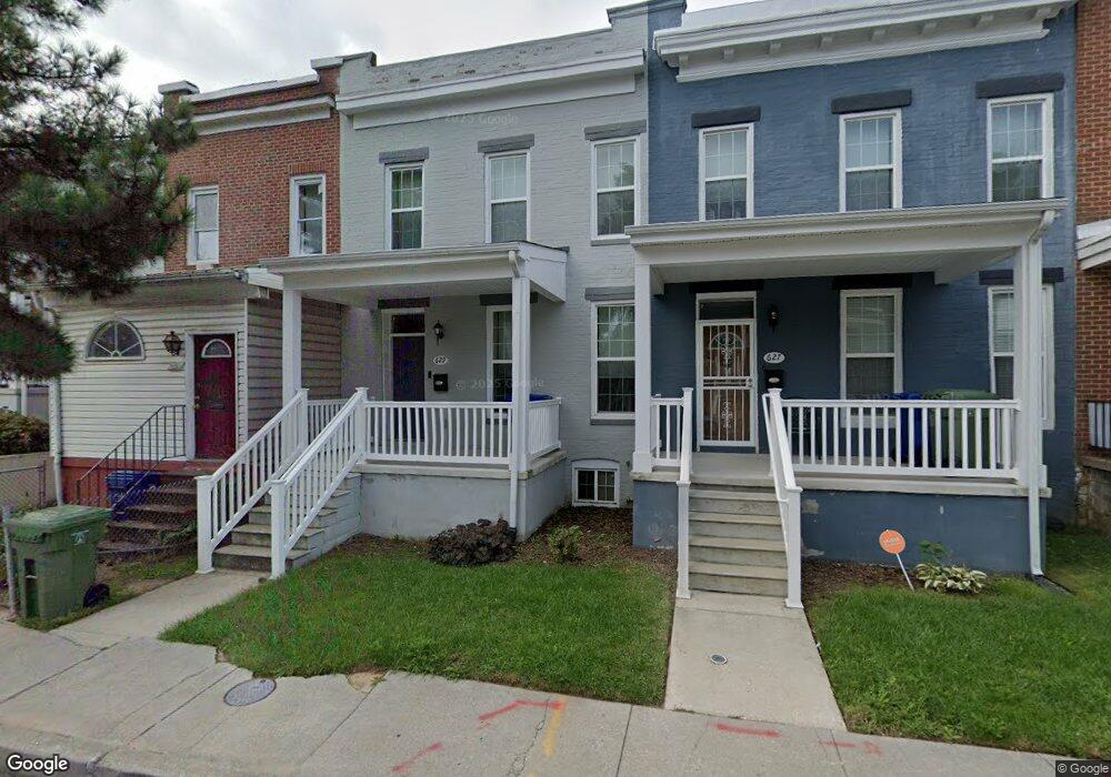
629 Mccabe Ave Baltimore, MD 21212
Woodbourne-McCabe NeighborhoodEstimated Value: $149,554 - $161,000
Studio
1
Bath
1,200
Sq Ft
$129/Sq Ft
Est. Value
About This Home
This home is located at 629 Mccabe Ave, Baltimore, MD 21212 and is currently estimated at $155,277, approximately $129 per square foot. 629 Mccabe Ave is a home located in Baltimore City with nearby schools including Walter P. Carter Elementary School, Booker T. Washington Middle School, and Paul Laurence Dunbar High School.
Ownership History
Date
Name
Owned For
Owner Type
Purchase Details
Closed on
Jun 28, 2018
Sold by
Habitat For Humanity Of The Chesapeake I
Bought by
Sheppard Sandria
Current Estimated Value
Home Financials for this Owner
Home Financials are based on the most recent Mortgage that was taken out on this home.
Original Mortgage
$103,000
Outstanding Balance
$89,462
Interest Rate
4.6%
Mortgage Type
New Conventional
Estimated Equity
$65,815
Purchase Details
Closed on
Jul 30, 2013
Sold by
One House At A Time Inc
Bought by
Habitat For Humanity Of The Chesapeake I
Purchase Details
Closed on
Jun 9, 2006
Sold by
S & S Partnership
Bought by
Rose Realty Management Llc
Home Financials for this Owner
Home Financials are based on the most recent Mortgage that was taken out on this home.
Original Mortgage
$30,600
Interest Rate
12%
Mortgage Type
Purchase Money Mortgage
Create a Home Valuation Report for This Property
The Home Valuation Report is an in-depth analysis detailing your home's value as well as a comparison with similar homes in the area
Home Values in the Area
Average Home Value in this Area
Purchase History
| Date | Buyer | Sale Price | Title Company |
|---|---|---|---|
| Sheppard Sandria | $108,000 | None Available | |
| Habitat For Humanity Of The Chesapeake I | $5,000 | Cotton Duck Title Company | |
| Rose Realty Management Llc | $39,500 | -- |
Source: Public Records
Mortgage History
| Date | Status | Borrower | Loan Amount |
|---|---|---|---|
| Open | Sheppard Sandria | $103,000 | |
| Previous Owner | Rose Realty Management Llc | $30,600 |
Source: Public Records
Tax History
| Year | Tax Paid | Tax Assessment Tax Assessment Total Assessment is a certain percentage of the fair market value that is determined by local assessors to be the total taxable value of land and additions on the property. | Land | Improvement |
|---|---|---|---|---|
| 2025 | $310 | $120,267 | -- | -- |
| 2024 | $310 | $112,400 | $12,000 | $100,400 |
| 2023 | $278 | $107,333 | $0 | $0 |
| 2022 | $247 | $102,267 | $0 | $0 |
| 2021 | $2,294 | $97,200 | $12,000 | $85,200 |
| 2020 | $241 | $70,800 | $0 | $0 |
| 2019 | $219 | $44,400 | $0 | $0 |
| 2018 | $425 | $18,000 | $12,000 | $6,000 |
| 2017 | $425 | $18,000 | $0 | $0 |
| 2016 | $719 | $18,000 | $0 | $0 |
| 2015 | $719 | $31,800 | $0 | $0 |
| 2014 | $719 | $31,600 | $0 | $0 |
Source: Public Records
Map
Nearby Homes
- 505 Mccabe Ave
- 5204 Ivanhoe Ave
- 804 Mccabe Ave
- 610 Winston Ave
- 812 Mccabe Ave
- 517 Chateau Ave
- 705 Woodbourne Ave
- 601 Woodbourne Ave
- 5020 Ready Ave
- 530 Sheridan Ave
- 526 Sheridan Ave
- 518 Sheridan Ave
- 500 Sheridan Ave
- 612 Woodbourne Ave
- 523 Rossiter Ave
- 5107 Midwood Ave
- 5315 Midwood Ave
- 5019 Midwood Ave
- 5302 Saint Georges Ave
- 608 Radnor Ave
Your Personal Tour Guide
Ask me questions while you tour the home.